By Lucy Daniel guide
hen planning a walk in a new area, it’s always enjoyable to hear about the experiences of others who’ve gone before you. Even if you’ve already walked part or all of the Tamara Coast to Coast Way, it’s fun to relive the journey through others’ stories and photos, and perhaps notice how the landscape changes with the seasons. In this blog, award-winning walker and tour guide Lucy Daniel guide shares her experience of walking 12 miles of the route from Bere Alston to Tamerton Foliot. The walk spans 11.8 miles with a 1,515-foot ascent, which Lucy completed in just under 5 hours, including two 30-minute breaks. Enjoy the read!
For your interest, this walk is offered by Lucy as a pair of scheduled, instant-book guided walks and taken at a gentler pace than this solo walk. You can book either walk as a half day or both as a full day with lunch break at Bere Ferrers.
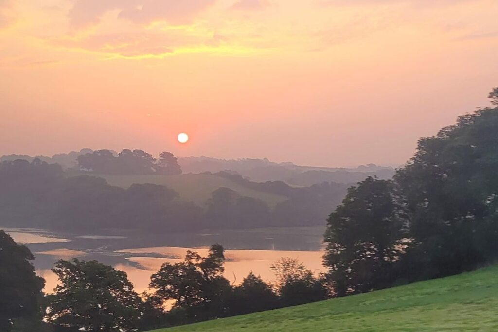
Sunrise over the Lynher River on my approach into Plymouth rail station.
I live in Cornwall and travel everywhere, for work and pleasure, by public transport. So my day began with a bus to Par then train to Plymouth and a connection (with time for coffee and croissant at the station) to Bere Alston.
I always get my tickets on the GWR app before leaving home, to avoid problems with mobile network signal while out and about. You also get the best running information from the rail companies and don’t have to pay fees. If you have a railcard, don’t forget to use it and take it with you!
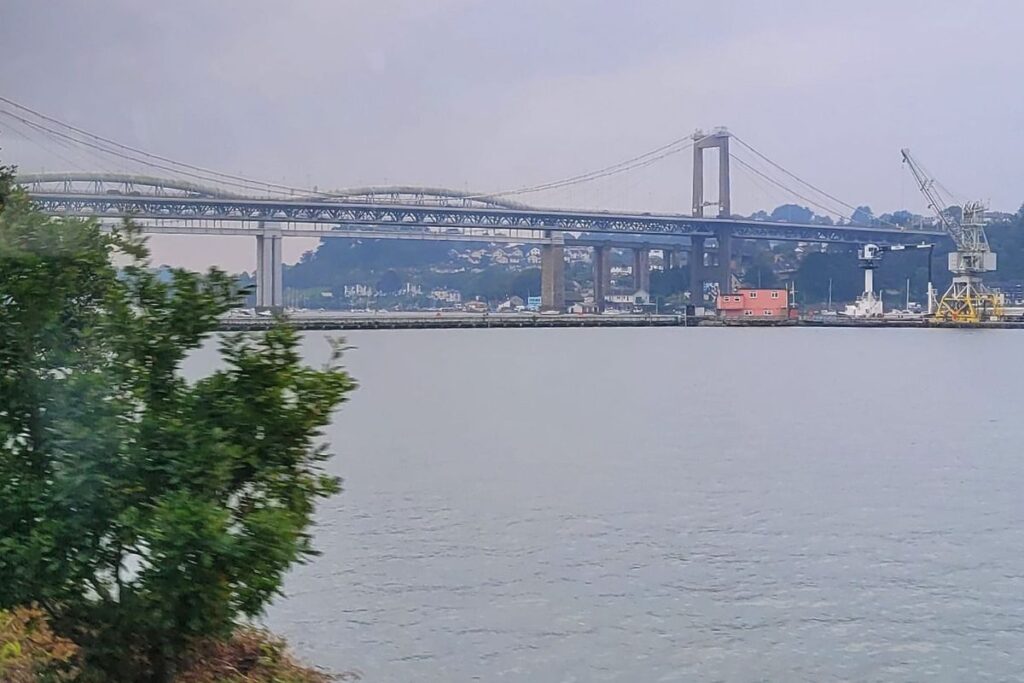
The Tamar bridges, which my line – the Tamar Valley Line – had just passed under.
The furthest bridge in this shot is the Isambard Kingdom Brunel rail bridge built in 1859. When built it was the only bridge across the Tamar downstream from Gunnislake (14 miles upriver by road).
The nearer of the two bridges is the road bridge opened in the year of my birth, 1961
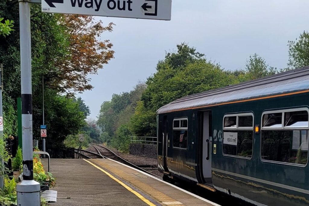
Arrival at Bere Alston station, where this service reverses direction to continue to Calstock and Gunnislake, along the right hand fork you can see here.
This is the point where the line used to continue east towards Tavistock too, but that branch was a 1960s cut by Dr Beeching. Some of those closed lines are being reopened as a swift and accessible means of transport for all in rural areas. These routes are very important and locals appreciate visitors who use them and help to keep them open.
This is the meeting point for my scheduled, instant-book Bere Alston to Bere Ferrers guided tour. More info and book here
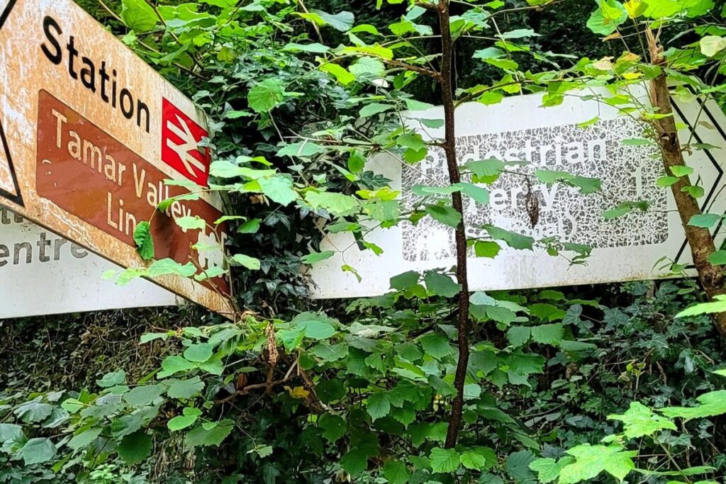
At the bottom of the station access road, is the old sign for the foot ferry, in a rather sad state.
I hope it will shortly be cleared and restored. A new electric foot ferry connecting the Devon side to Calstock is due to come into service once various issues around licensing, etc have been dealt with.
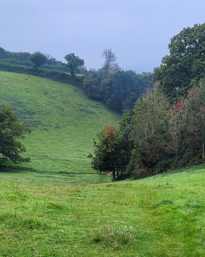
After a short walk along minor roads at Bere Alston the path heads onto some beautiful undulating field and woodland paths.
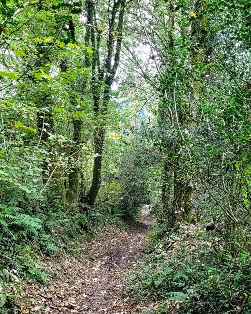
From the fields, the route gradually descends through the woods on sunken paths.
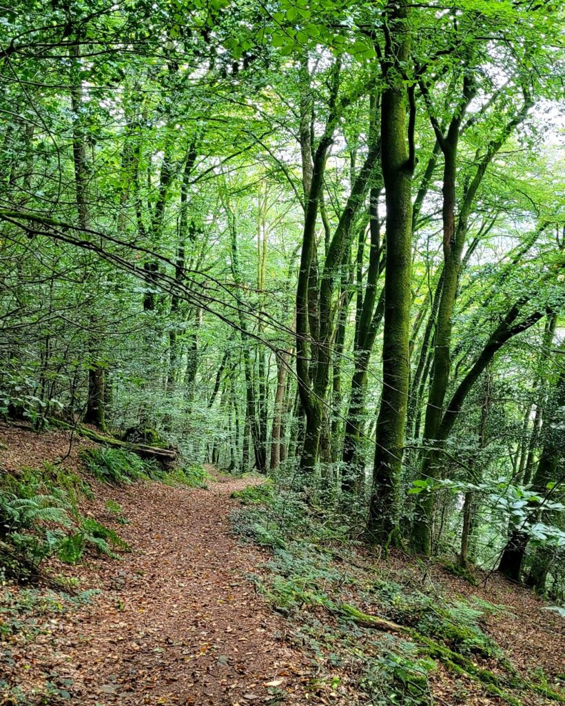
Lower down the woods turn to mature beech with a more open feel. You instinctively know you are nearing the River Tamar.
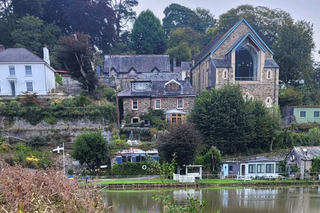
Looking across the mighty River Tamar towards Calstock.
From the riverside path, looking across the old ferry landing (due an update in the works associated with the new ferry crossing). This is a great view of the interesting treatment of the rear of the old chapel which now houses the Arts Centre in Calstock.
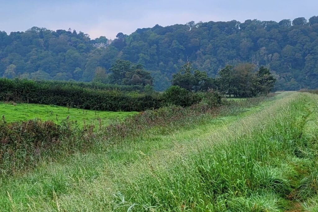
At this point the path is a raised bank with rushes and damp ground even to the landward side.
Here I’m about to round the long curve to follow the river generally south for a while, with Cotehele (a beautiful National Trust property) visible high up in its woodlands.
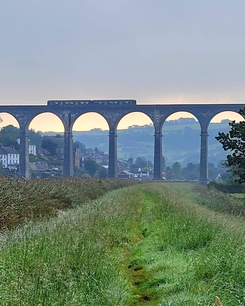
My little train, having been up the line and now returning across Calstock viaduct towards Plymouth. The threatened thundery showers still looking very likely and the air was heavy and warm.
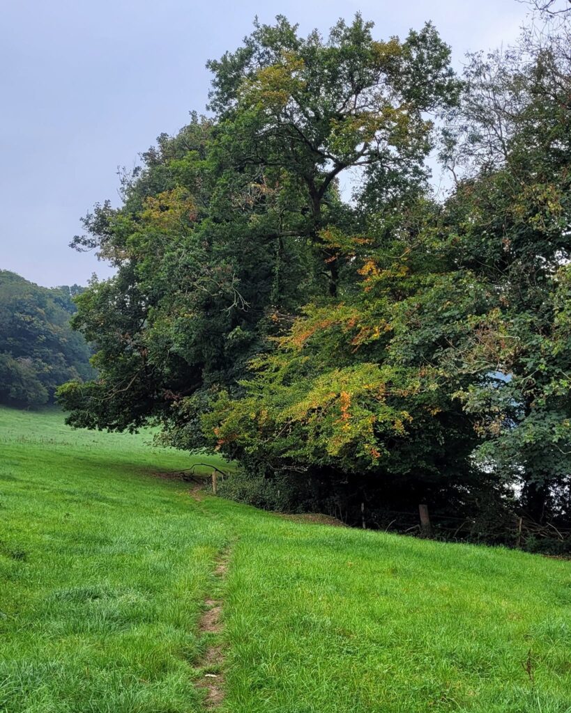
A riverside meadow path with water views through the autumnal trees, was a nice change of pace and feel, after the open banks at Calstock.
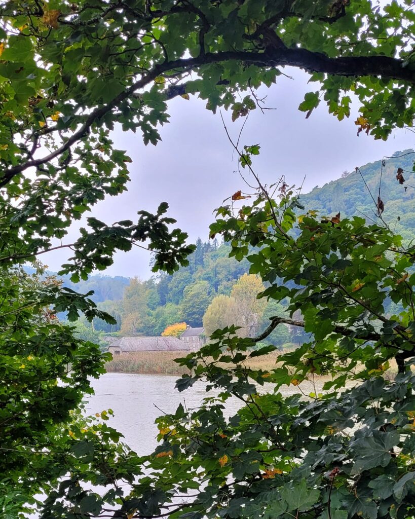
Looking through a window in the trees, to Cotehele Quay across the river. The quay is a Victorian one, formerly very busy with goods being shipped to and from Plymouth. It stands on the riverside below the medieval Cotehele House.
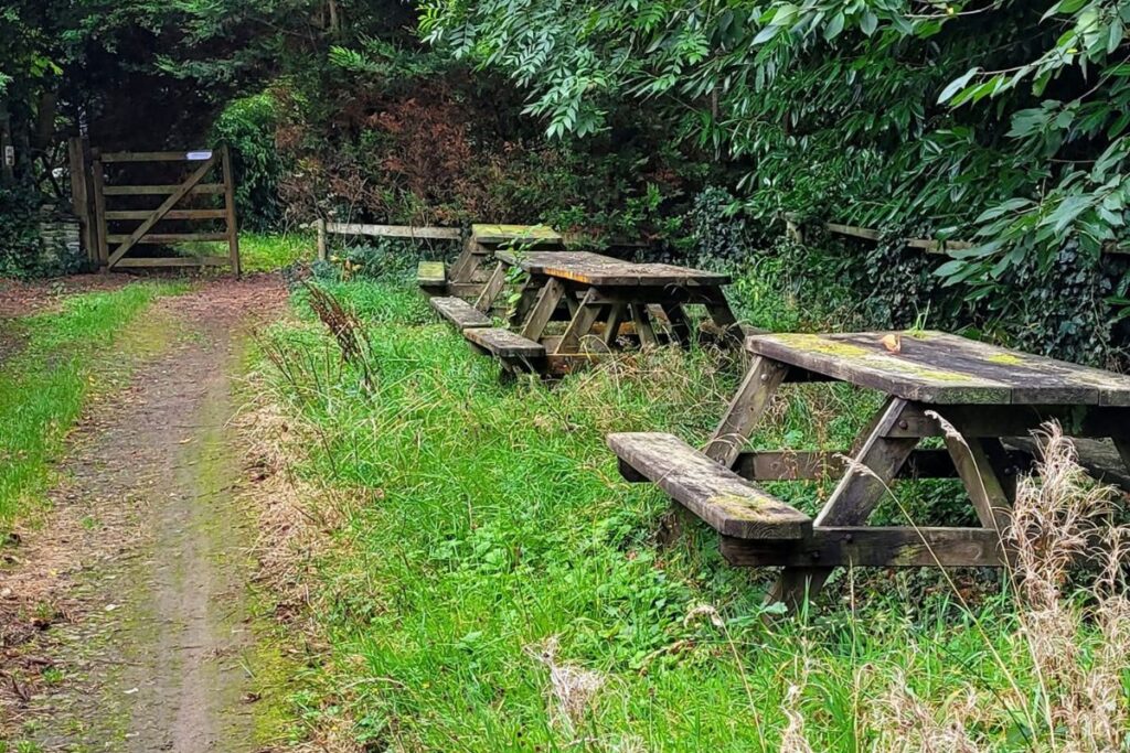
Pathside picnic benches at Ward Mine.
These are a lovely and kind addition, presumably by the landowner.
It’s often difficult to find somewhere to sit for a drink, snack or just a rest, especially in the cooler months when surfaces are likely to be damp. I carry a gardeners’ kneeling pad in my rucksack for this purpose. The pad is featherlight and you can put it on damp wood, cold rock or any other inhospitable surface to make it a viable place to perch. It also doubles up as a comfortable pad against your back, if you slip it down the inside of your pack.
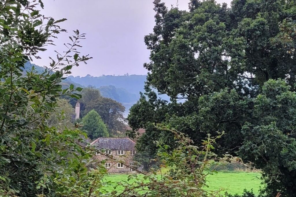
South Ward Farm seen through the trees, in its idyllic location.
The farmer has provided an alternative route here above the farm buildings, which you have the option to use to gain some height and a better view of the river.
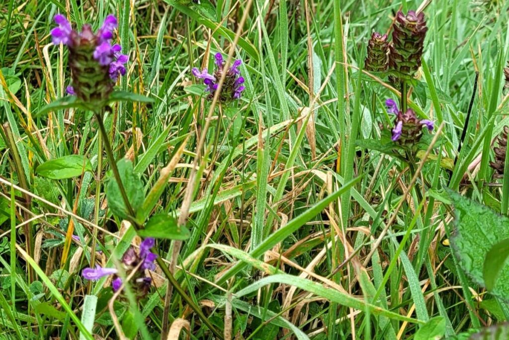
Bright purple selfheal standing tall above the meadow grasses was a cheerful sight.
In Cornwall and Devon and especially in sheltered valleys, we have many wildflowers which have an extended flowering season due to the mild conditions.
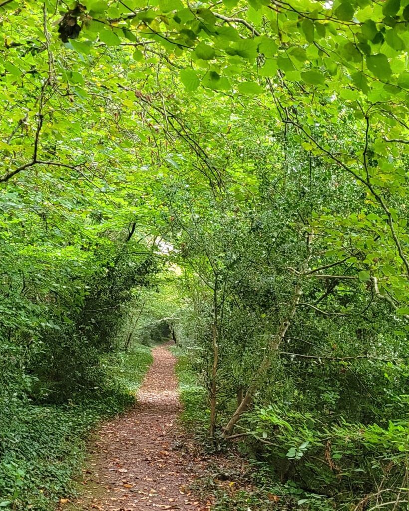
After South Ward Farm, you leave meadows behind and enter another peaceful woodland section with an excellent path.
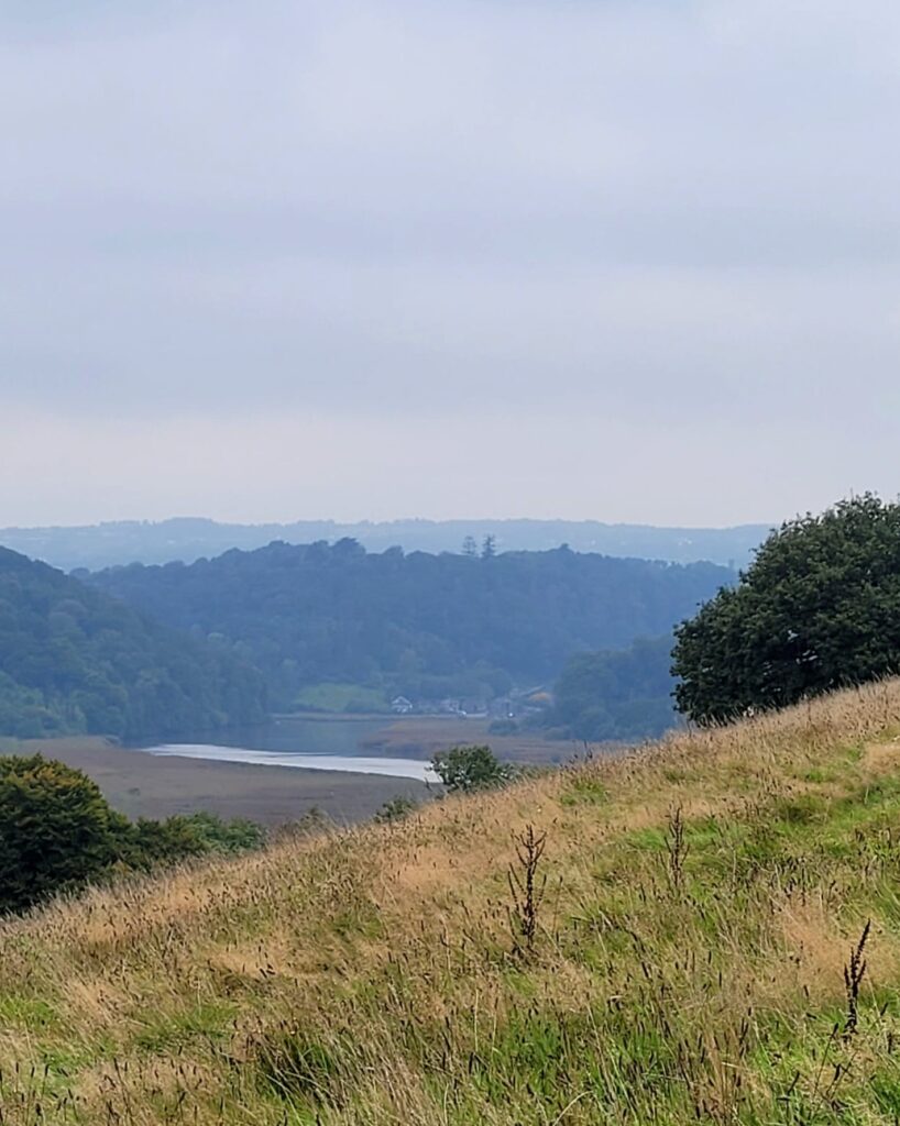
After the first of a couple of climbs and descents between South Ward and Hole’s Hole (yes, really!) there’s the reward of a beautiful river view.
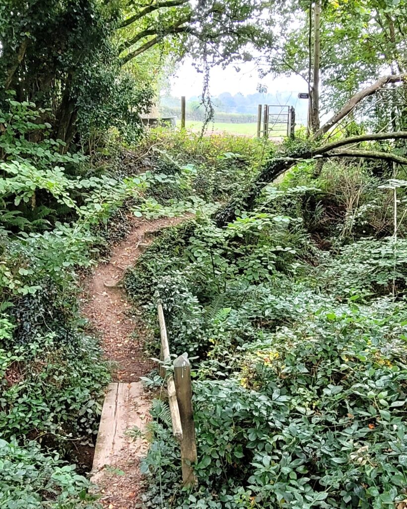
Crossing the stream at the top of the first ascent, by a small but sturdy bridge with handrail.
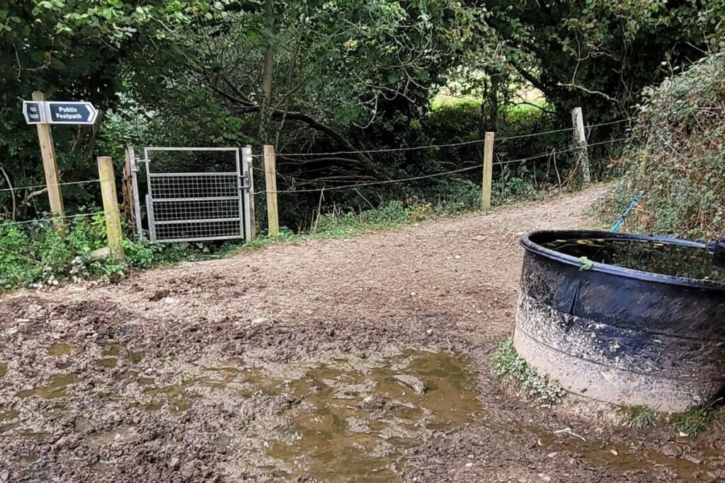
Sadly the valve on this water barrel was leaking and had been for some time when I got to it. There was a muddy mess to get through to continue the walk.
I reported to the problem to the Local Highway Authority – in this case Devon County Council – as these issues are their responsibility. It’s always worth reporting issues as walkers are the eyes and ears on the ground. Local authority teams don’t have the manpower to go out on speculative inspections. Within three days of my walk, I had a lovely note of thanks in my inbox and a member of staff will be contacting the landowner to request the simple fix to be done.
Here’s a link for Devon County Council
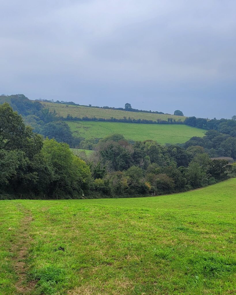
The only other person I met between Bere Alston and Weir Quay, was running up the hill here towards me. It was a very hot and clammy day and we commiserated with each other as he passed.
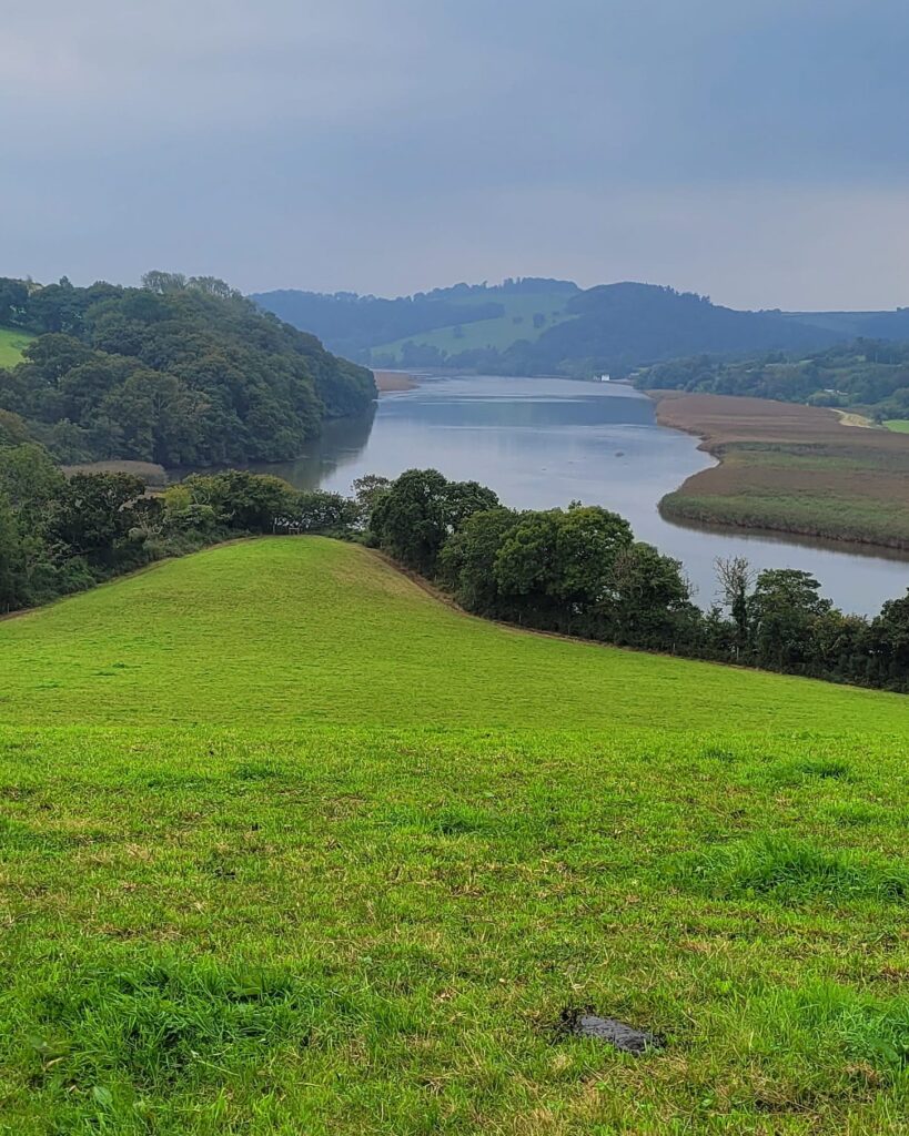
The stunning view looking south down the Tamar as I prepared for another descent and ascent.
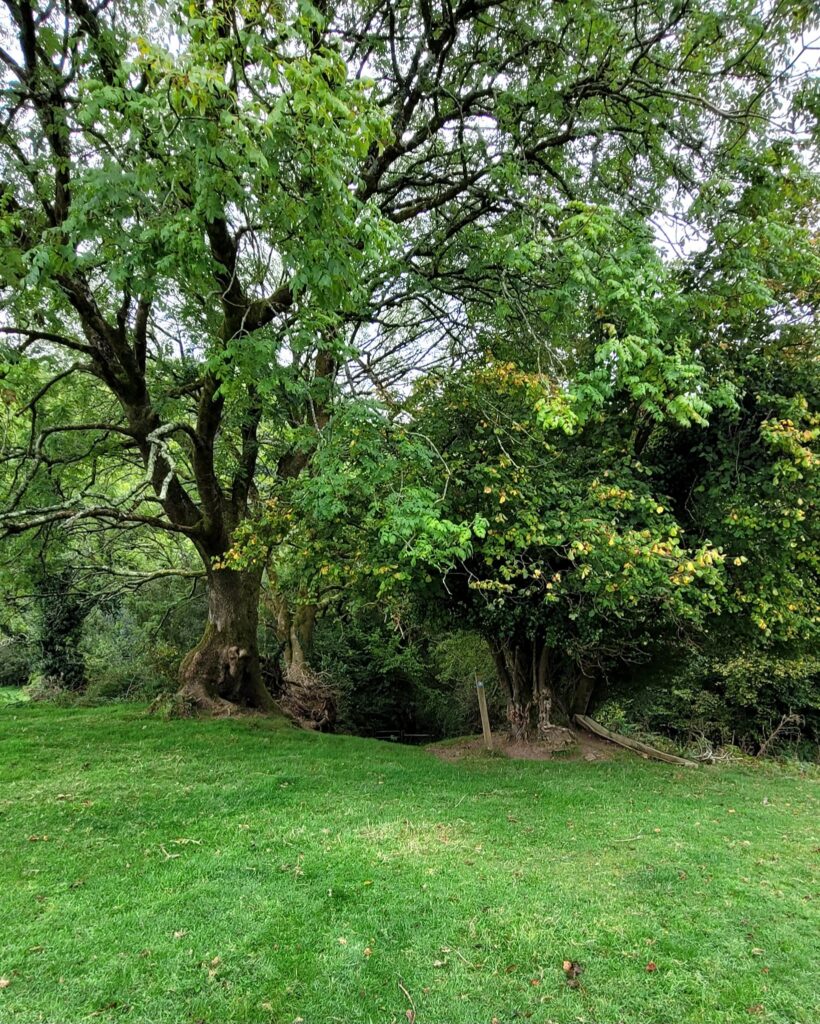
From open meadowland, I was soon diving into a steep wooded path down to the boardwalk across the next stream.
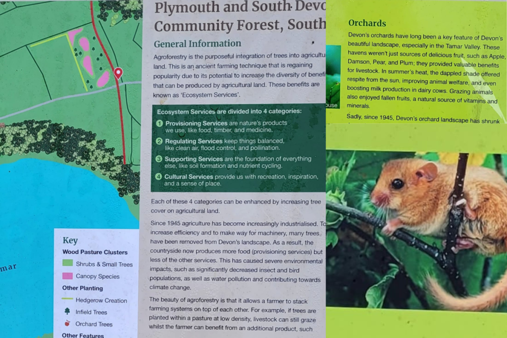
Plymouth and South Devon Community Forest
Up, up, up the other side to a fairly recently planted Community Forest meadow, with nice information board, picnic tables, etc
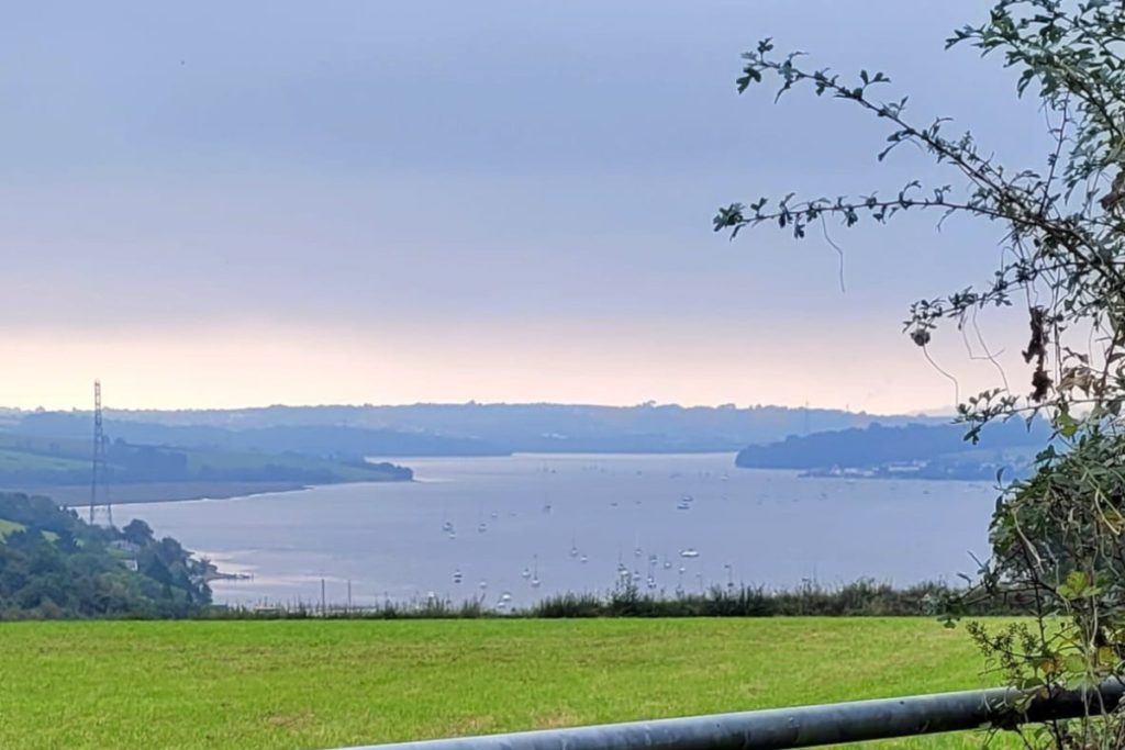
One of many tranquil and awe inspiring views along the way.
A considerable number of moored boats of various types, lay below me on the Weir Quay stretch of river.
This picture looks down the River Tamar, where it merges with the River Tavy and the Hamoaze, and onward towards Plymouth Sound.

Weir Tea – that is, tea at The Yard Café at Weir Quay boatyard. Excellent cheese scone.
The sun just started to break through as I sat here.
For Beyond Paradise fans this is Marvellous’s boatyard from the first series, where Humphrey found and purchased the houseboat. Said houseboat lives here when not in use for filming; it was out when I visited – probably round the corner at Pentillie Quay.
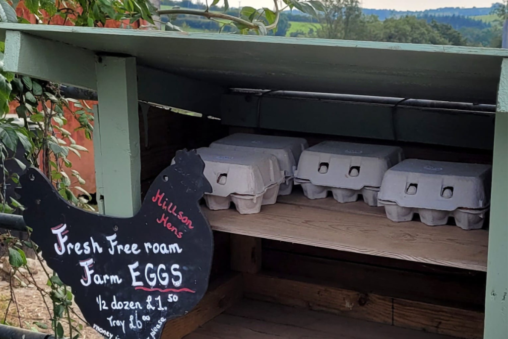
Honesty box eggs.
If you’d like to support local producers, remember to take some cash including change with you, and something suitable to bring home your goodies.
Remember that cash circulating in a community brings more value than other transactions, which lose a %age of their value each time a transaction fee is applied.
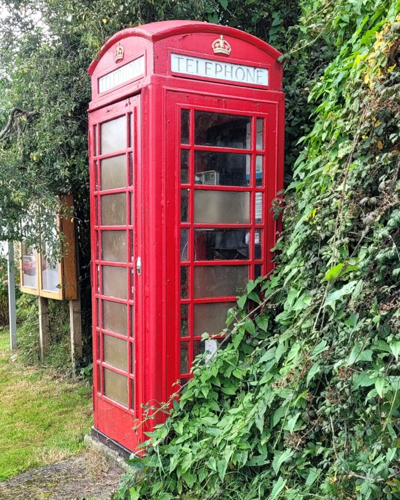
A phone box in Bere Ferrers which actually has a phone in it – I didn’t check to see if it was working, which was silly of me.
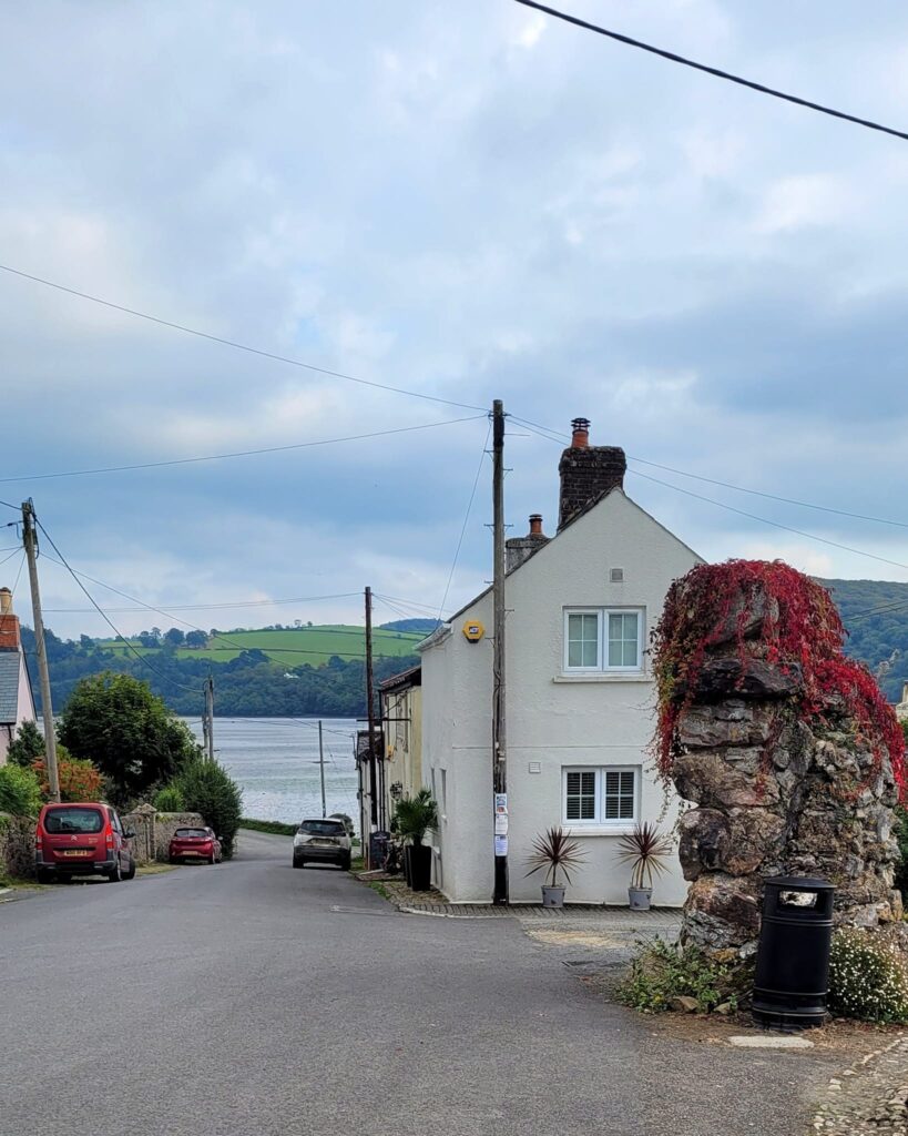
Back down the hill and regaining the riverside, this time the Tavy (which gives Tavistock it’s name). The Olde Plough Inn on the right.
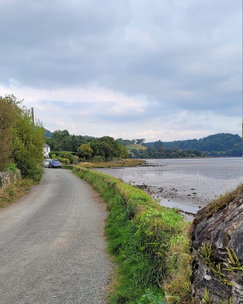
Heading up river along quiet roads and waterside tracks and paths. The Tavy twists and turns, just like the Tamar, so you can’t quite see your destination of Lopwell Dam from here.
This village is the mid point of my two half-day instant-book guided walks. Either the end of the Bere Alston to Bere Ferrers, the beginning of the Bere Ferrers to Tamerton Foliot, or the lunch break between the two if you’re walking with me all day. More info and book here
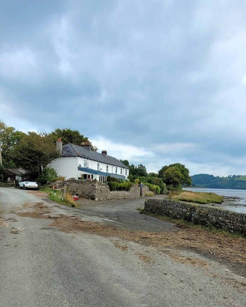
The morning’s super high tide had left flotsam and jetsam across the road, and lots of water along this low-lying section of path.
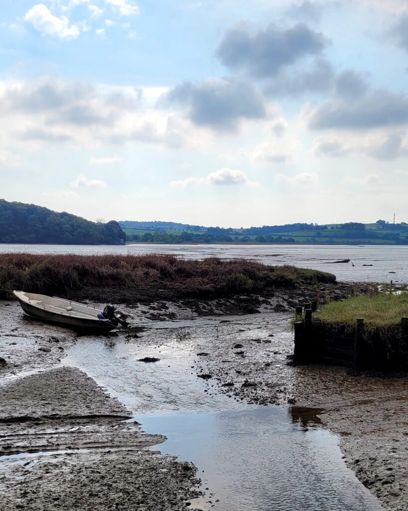
At the approach to Gnatham Farm, I didn’t fancy the rather slimy vehicle ford, so…
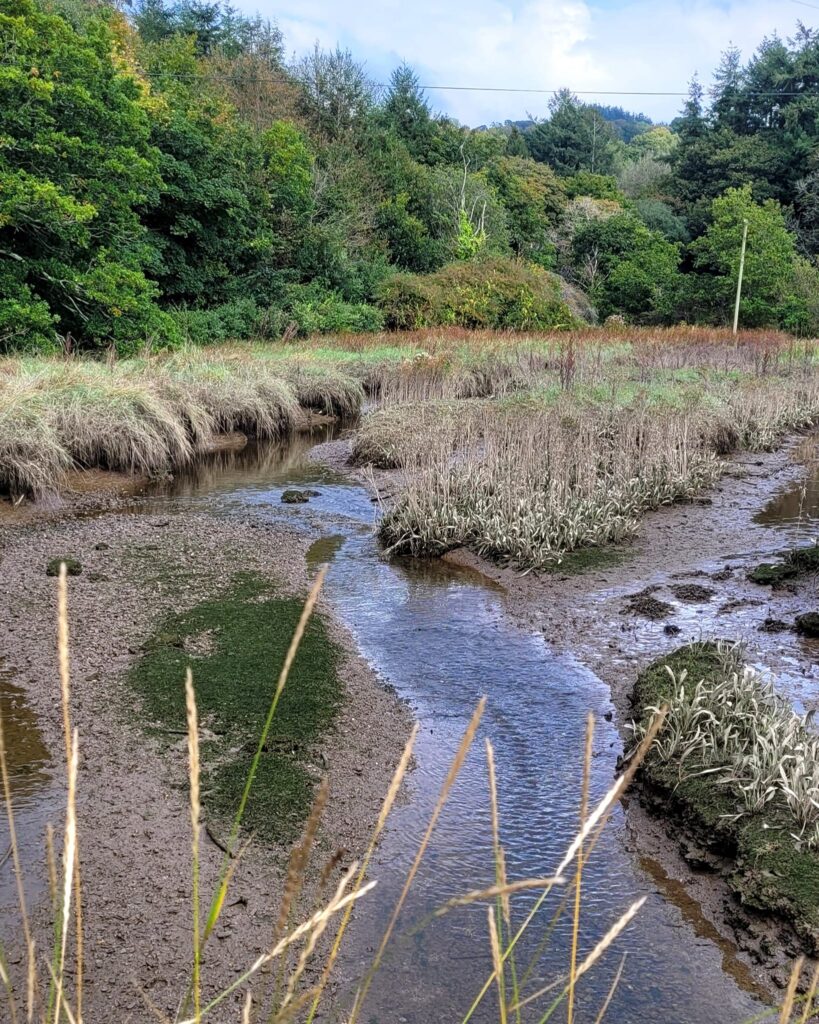
I used the adjacent small footbridge, where a kingfisher flew right underneath me and up the little creek. What a joy!
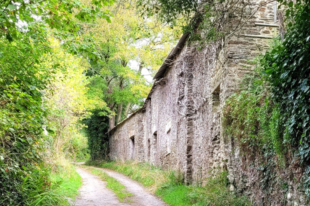
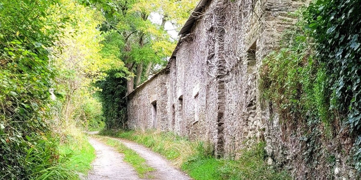
Untouched relics, echoes of a bygone age!
Heading north to pass behind Gnatham Farm, I got seriously distracted by this beautiful and disused group of farm buildings and consideration of alternative uses for them.
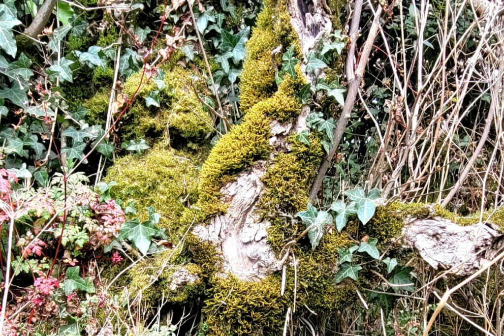
Beautiful textures and autumn colours in the hedge.
One of the most frequently occurring comments from walking guests, is that I encourage them to look around them and up; you can see so much more if you take a little time to look away from the path ahead and where you are next going to put your boot. Of course, it’s a good idea to stop moving before you do this!
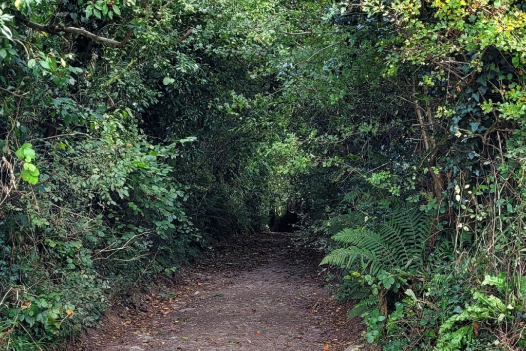
Turning down the old pack horse track to the Lopwell Dam crossing.
Devon and Cornwall made plentiful use of the wonderful Dartmoor ponies in all the mining and transportation of earlier eras. Further down this track you can see where the rock was cut away to provide a (relatively) flat surface for the ponies to negotiate when carrying loads up and down.
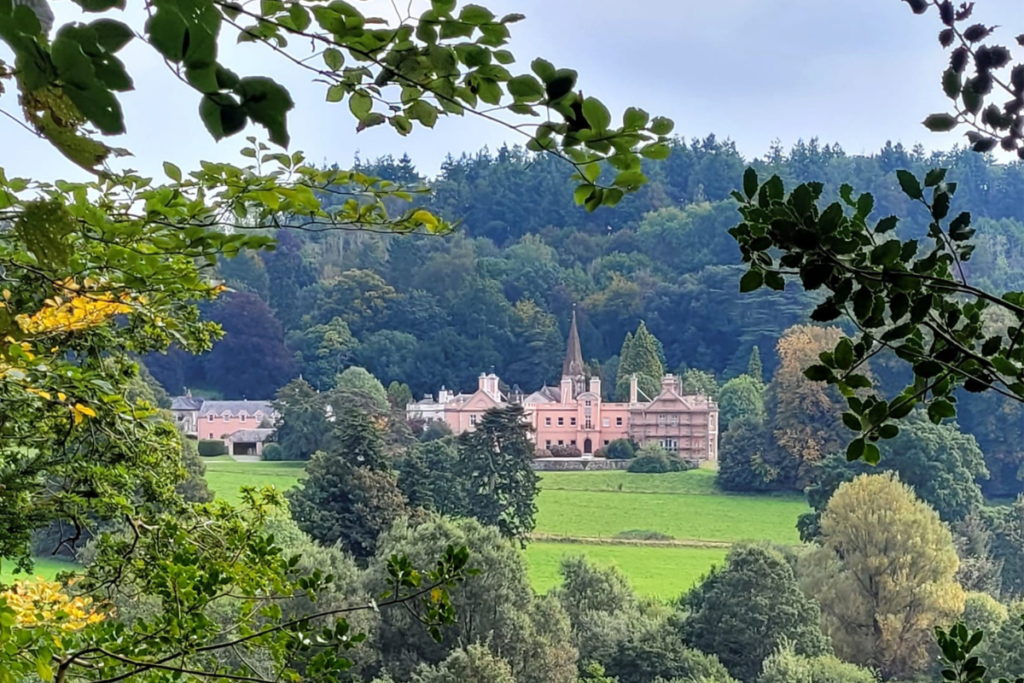
A sudden glimpse through the trees, of Maristow House across the river.
A former 16C manorial residence, the current building was erected in the 18C but damaged by a fire in the mid 20C. The Grade II listed building was restored and converted about 30 years ago, and is now apartments.
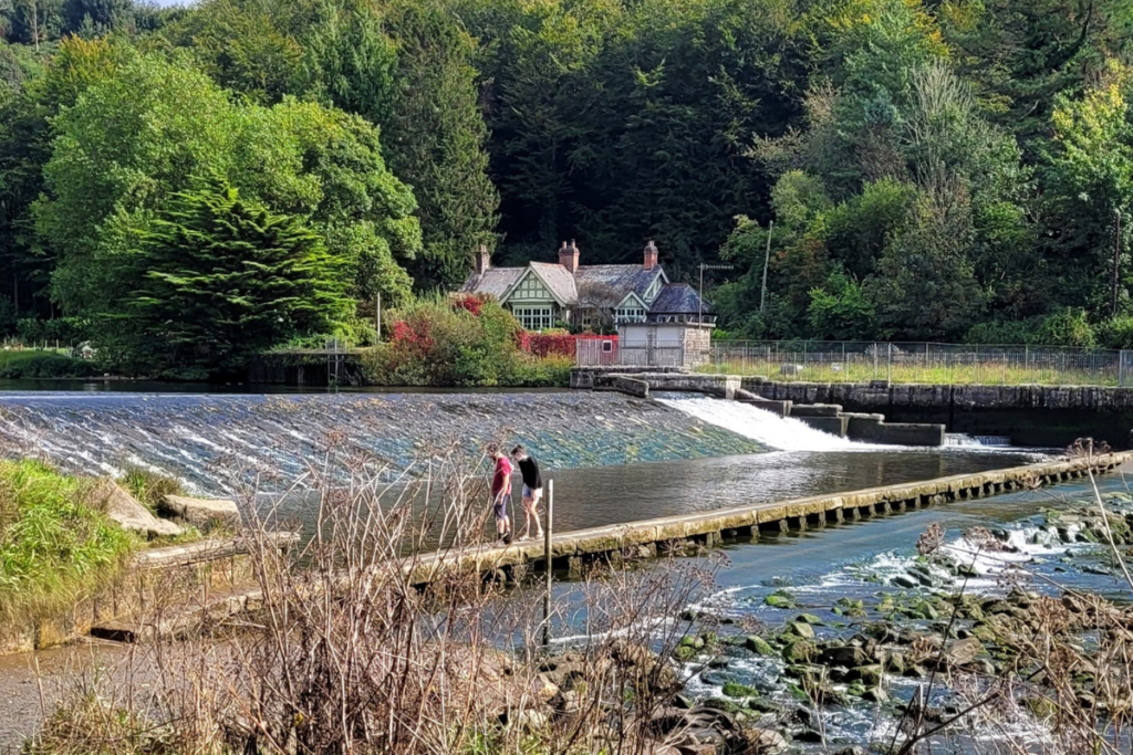
Lopwell Dam.
On a day of super high tides, I had planned my walk with high tide coinciding with my arrival at Bere Alston station, so that I’d arrive here well after the two-hour suggested safety margin and on a falling tide; no pressure.
It’s a lovely crossing but best taken at a careful pace, as the surface can be a little muddy and slippery.
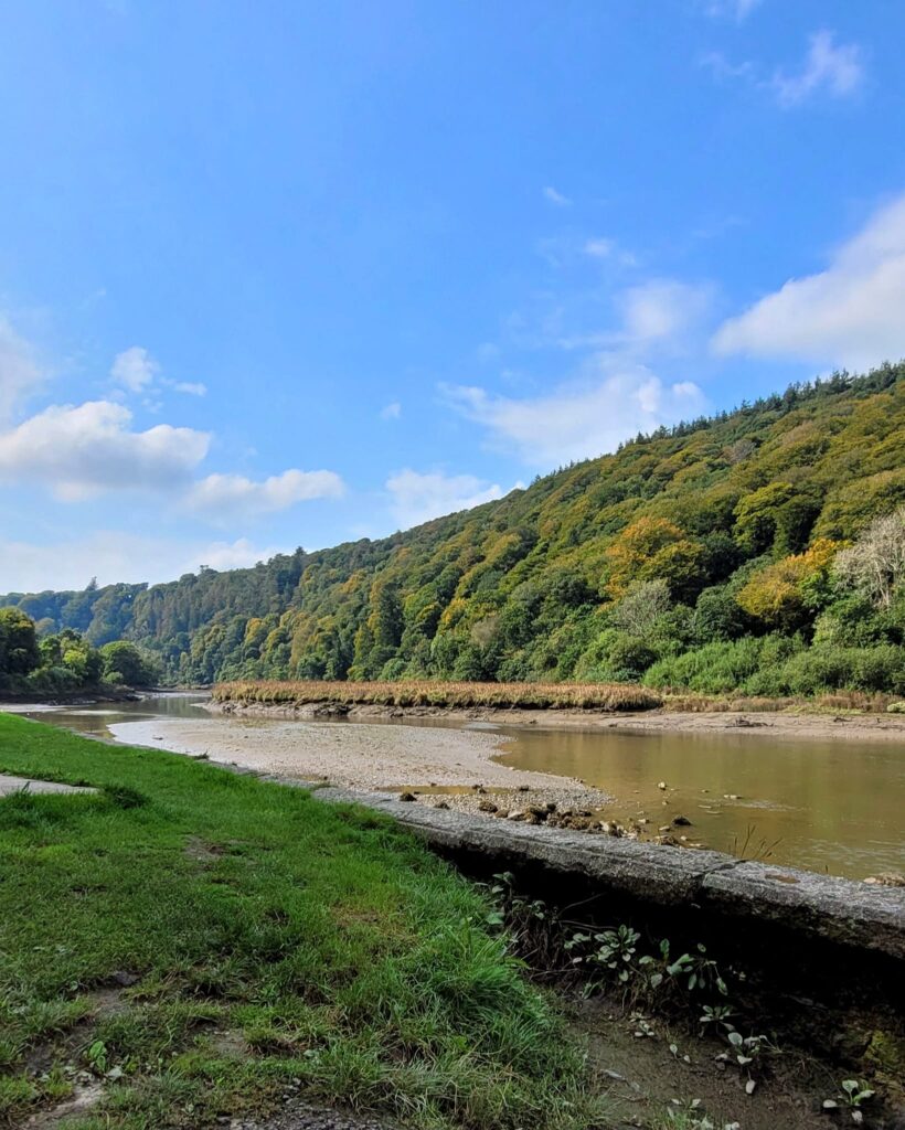
Heading south on the east bank of the Tavy, with the woods definitely turning autumnal across on the other bank.
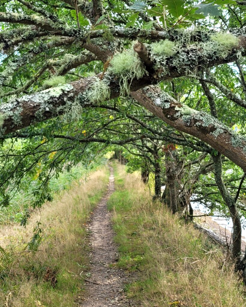
The path here is a riverside bank, shaded by trees displaying seriously happy lichen – a measure of the very clean air here, despite being only 2 or 3 miles from the built up area and major roads of Plymouth.
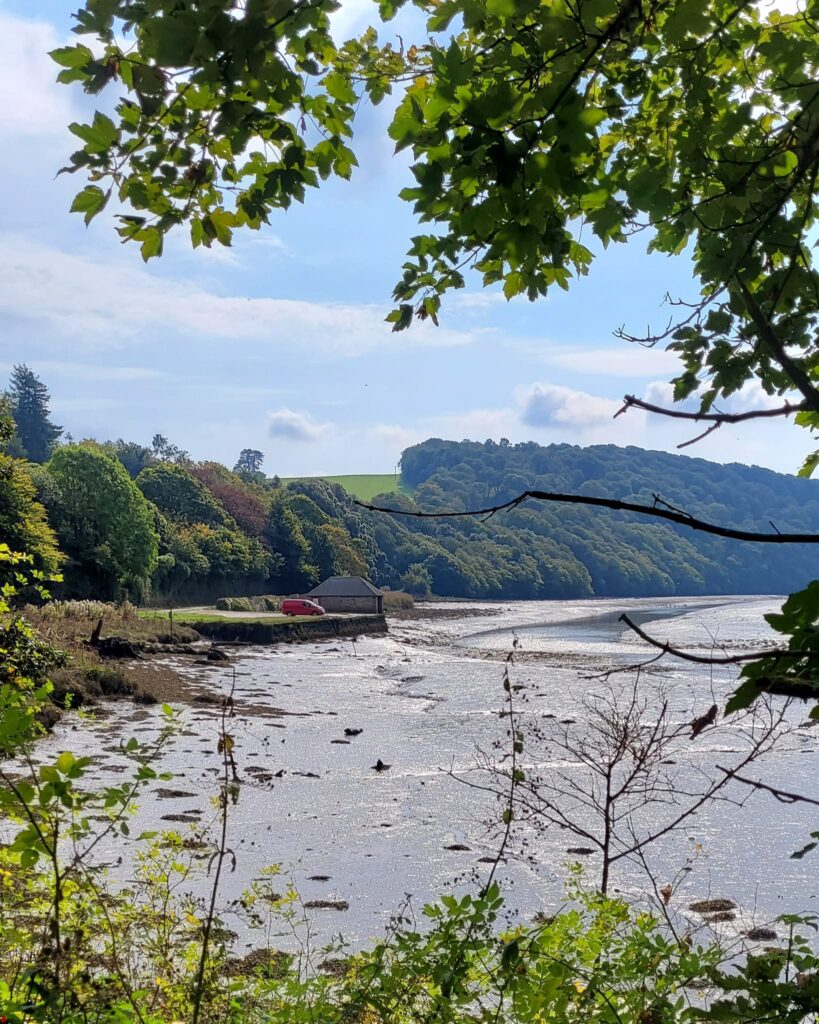
Maristow Quay is one of the many small quays which formerly were dotted all around this river system, water being a far more sensible way of transporting goods than the small, steep roads.
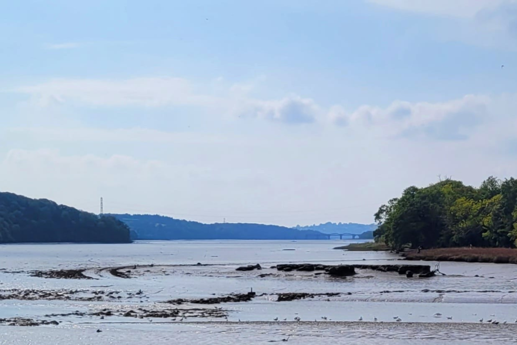
Once again, looking all the way down the Tavy to its confluence with the Tamar.
You can see the rail bridge which earlier had carried me up towards Bere Alston.
One of the farms on the banks of this river has an osprey project under way and I was hoping to see one of the birds in action, but there really wasn’t enough water for them. As I left Lopwell I did have a nuthatch sit in front of me on the path for quite a while before flying into a tree; a real treat as they’re so shy.
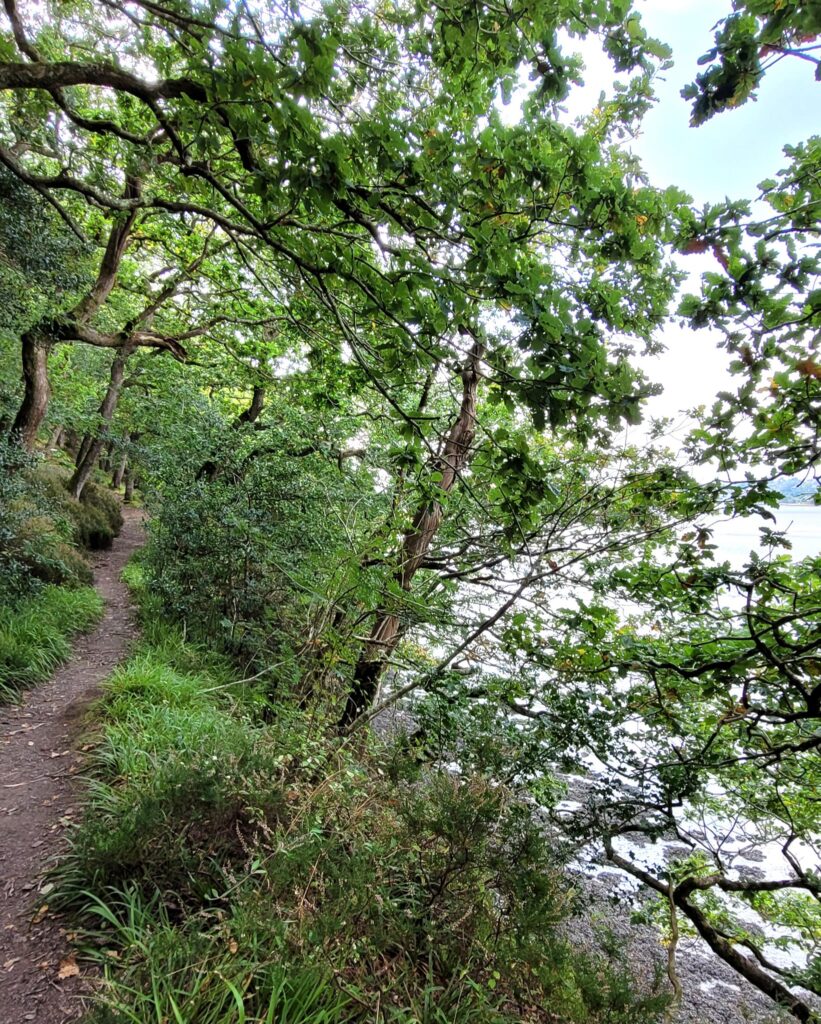
The raised path through natural oak woodland felt rather like being in the Lake District, except for the saltmarsh smell
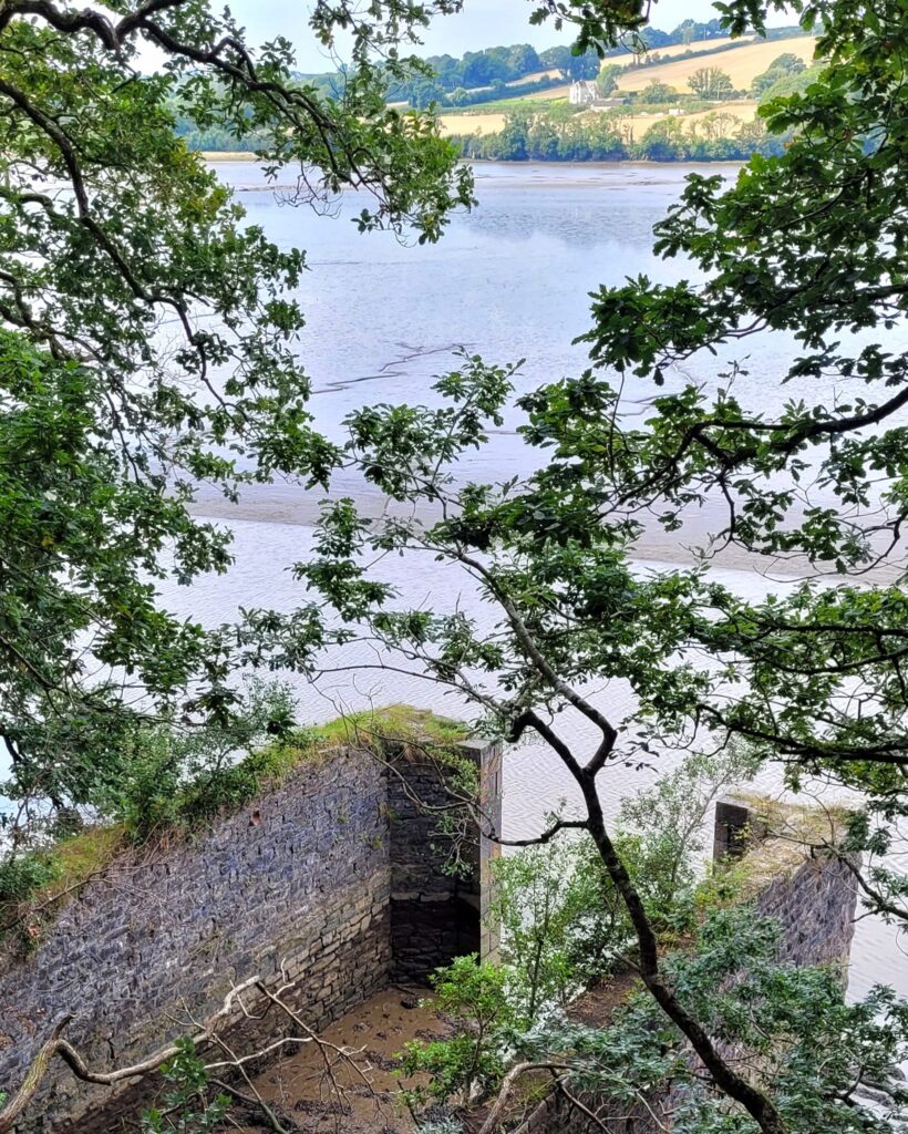
The old boathouse in Blaxton Wood. The woods are closed in the winter months for pheasant shooting and the route follows the minor road route to the east.
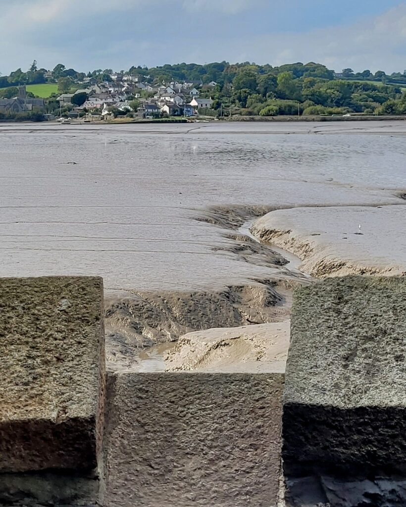
I had my lunch in the mock castle corner tower, looking over to Bere Ferrers, then continued out of Blaxton Wood, turning inland alongside the creek of the same name.
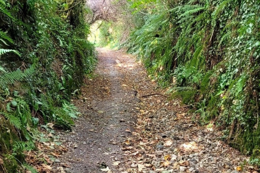
The sultry shade of a green lane.
After passing through some old farm and industrial buildings, Horsham Lane becomes a sunken green lane. On such a hot day the shade and green space was most welcome.
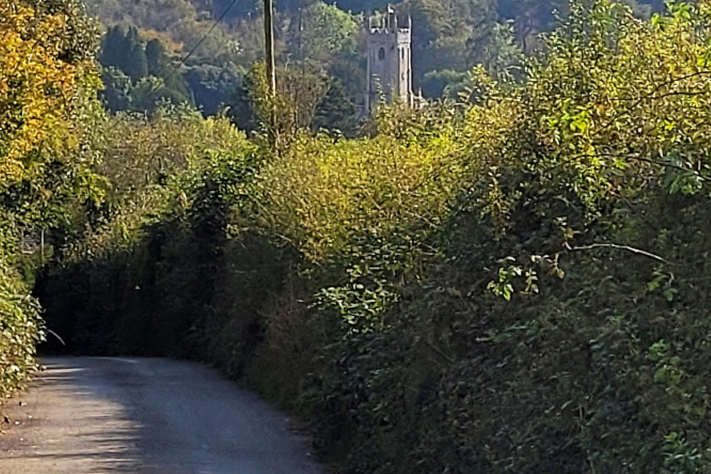
Today's final mile.
Tamerton Foliot below, where I picked up one of the 30-minute interval buses into Plymouth and return home by train. A varied and superb walk on a glorious day.
If you’d like me to guide your next walk, find out how to make arrangements on the button below. Choose from one of my standard tours, or discuss a more bespoke option.

