The Tamara Coast to Coast Way

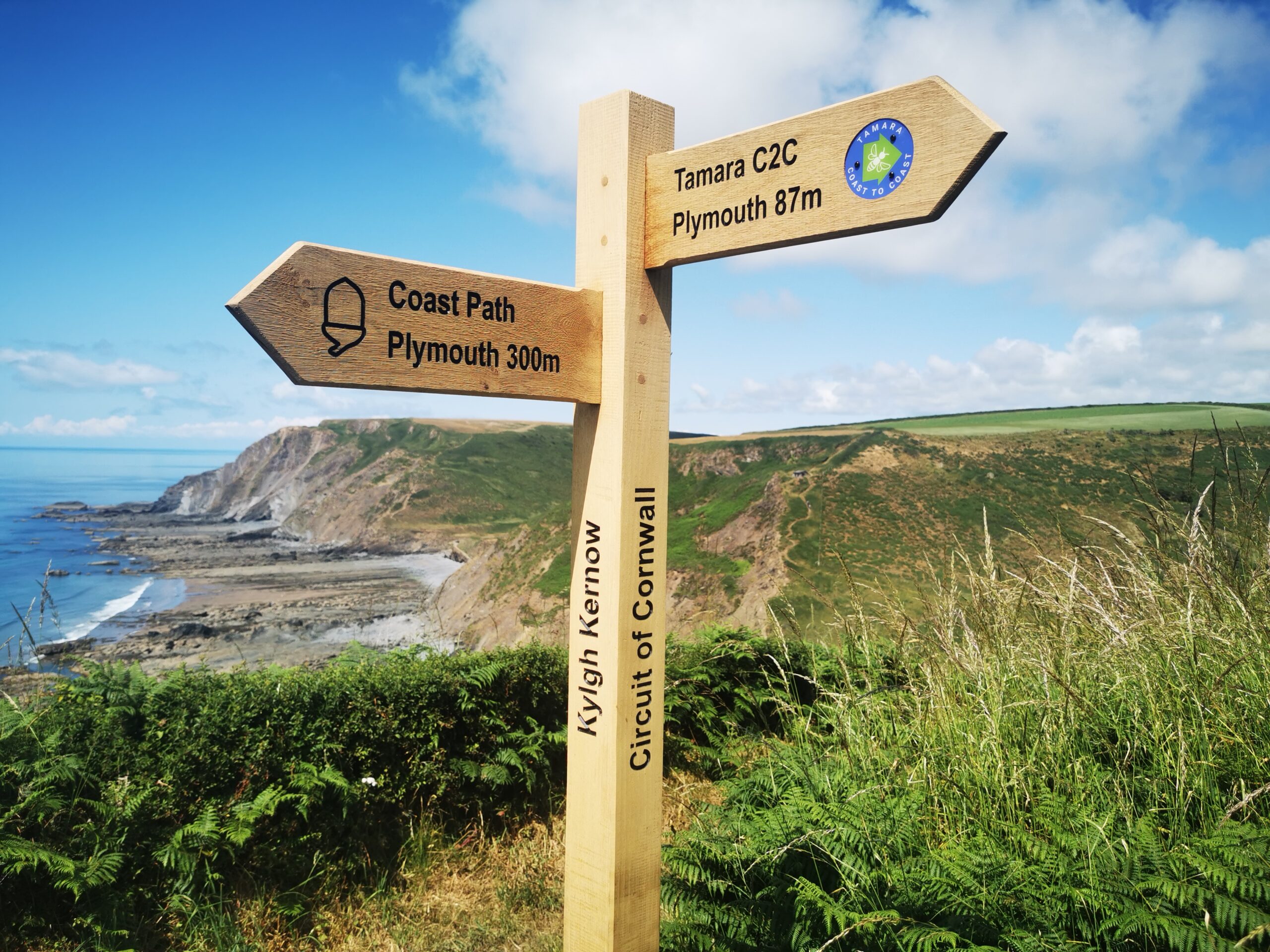
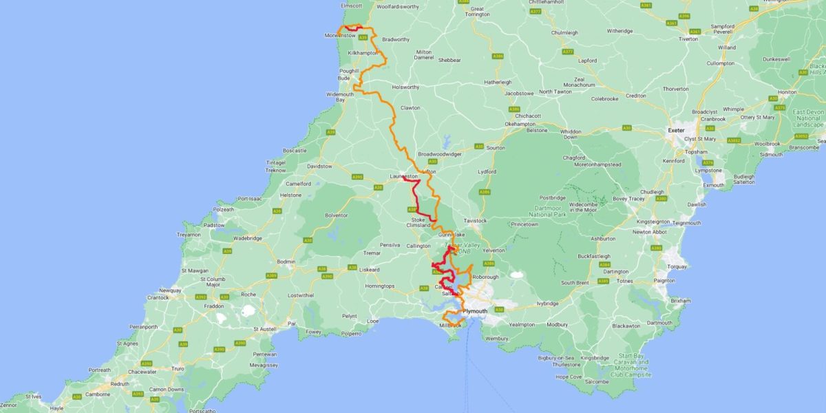
Embark on an unforgettable journey across the Southwest Peninsula from coast to coast on the Tamara Coast to Coast Way. This long-distance walking route spans 87 miles, connecting the north and south coasts and linking up with the South West Coast Path. Featured on a recent episode of BBC Countryfile, this trail promises an incredible adventure.
The route follows the majestic River Tamar through the Tamar Valley, starting from the vibrant city of Plymouth and winding its way to the river’s pristine source at Crosstown. Experience a captivating seven-day expedition, immersing yourself in the Tamar Valley’s diverse landscapes, rich history, and untouched beauty.
The Tamara Coast to Coast Way guide offers a comprehensive description of the route, including detailed directions for each stage, maps, images, and points of interest. Prepare to be awe-struck by the varied terrains, abundant history, and unspoiled allure of this remarkable path. Choose to walk the Tamar Coast to Coast Way and immerse yourself in a wealth of fascinating history, ancient monuments, and sites of historical significance.


The creation of this new walking route has been led by the Tamara Landscape Partnership Scheme, a project run by the Tamar Valley National Landscape and funded by the National Lottery Heritage Fund
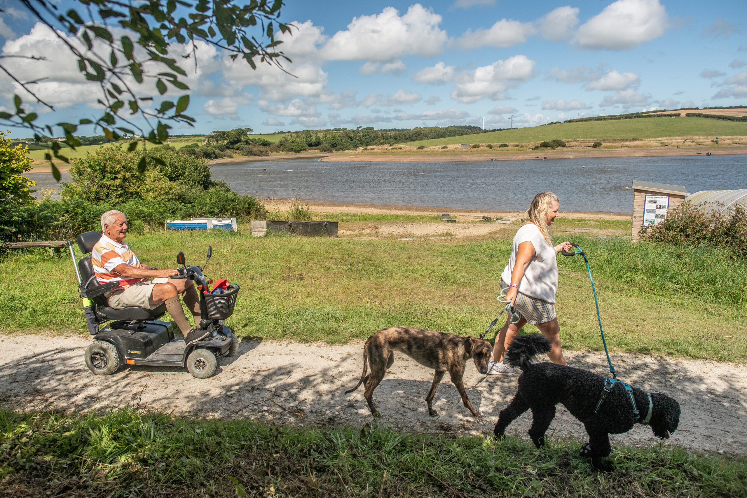
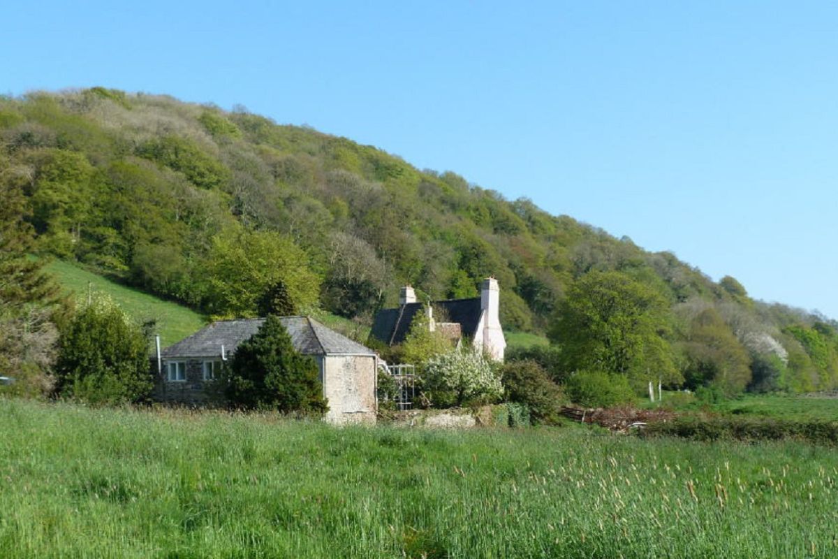
Discover the enchanting beauty of woodland trails, flush with local plant and flower life. Wander along picturesque riverside paths, and meander through awe-inspiring natural habitats. In the Tamar Valley, you’ll find a rich tapestry of experiences, offering something to captivate nature lovers and history enthusiasts alike.
The creation of this new walking route has been led by the Tamara Landscape Partnership Scheme, funded by the National Lottery Heritage Fund. The scheme aims to create a brighter future for the Tamar Valley and its communities.
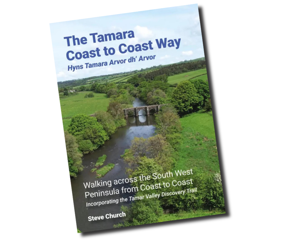
Order the guidebook

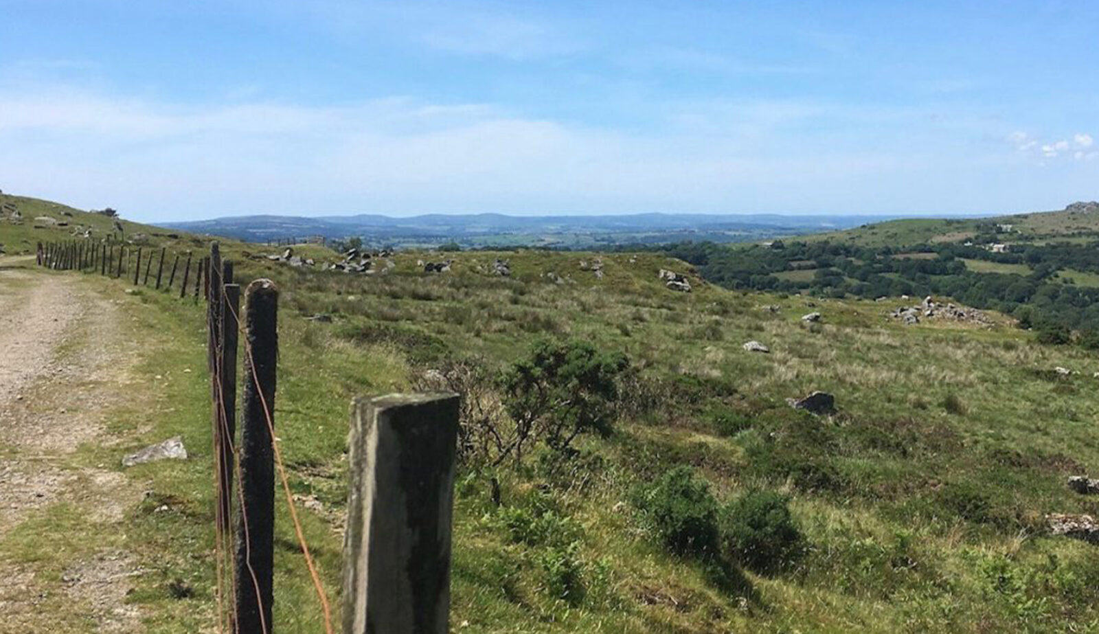
The terrain is varied along the route, from narrow and tranquil woodland paths to country lanes and some main roads too. Expect a few steep sections as well as gentle ambles along the river bank and through gently rolling countryside. At each stage there’s something new to see, both at ground level and from on high across Calstock Viaduct – Don’t forget to check out The Tamar Valley Line as you plan your excursions each day, linking sections of the walk with accommodation along the way.
The Tamara Coast to Coast Way guide provides a comprehensive description of the route, detailed directions for every stage, maps, images, and points of interest along the way.
Also included within its pages is information about local amenities. The guide includes a description of the Tamar Valley Discovery Trail and suggests links to shorter walks and circular routes in the area too.

Local Guidebook stockists

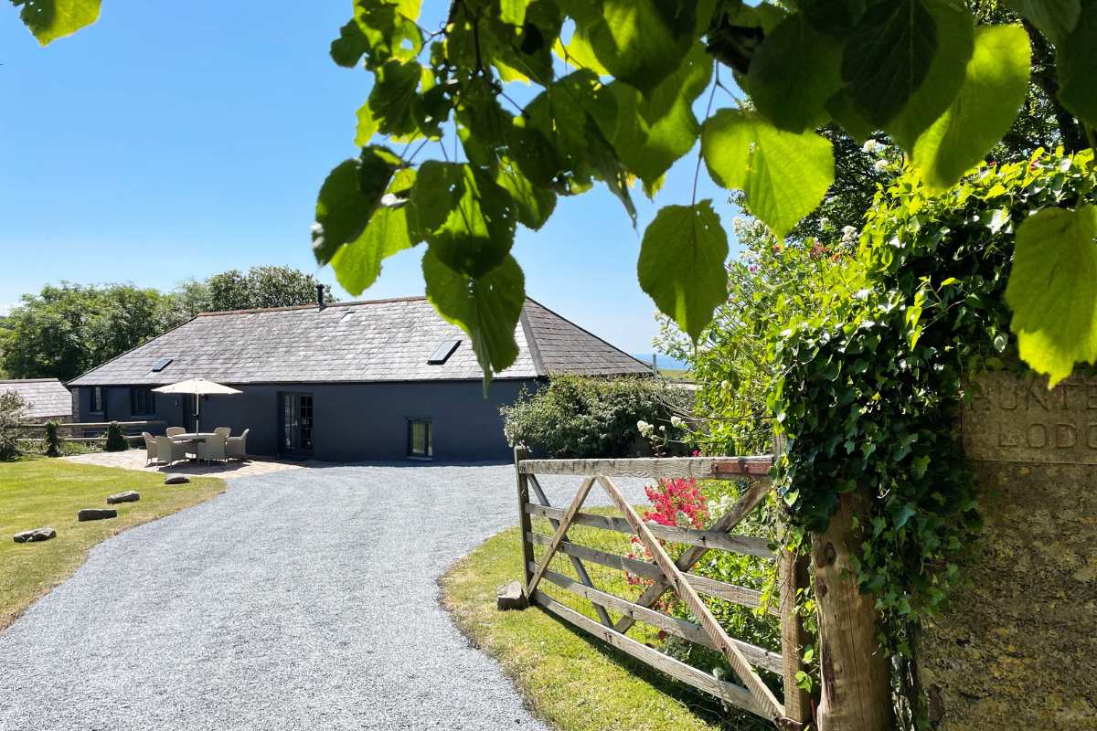
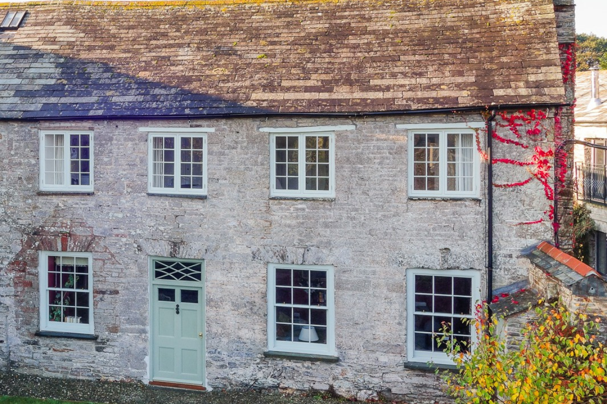
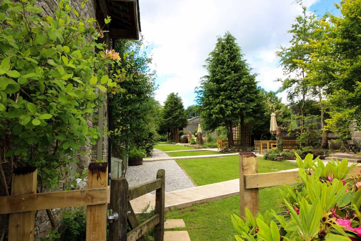
There’s a choice of accommodation along the way, especially the first two-thirds of the route from Cremyll. As you head north of Launceston, the landscape is predominantly remote and rural with few settlements and even fewer places to stay until you near the north coast and Bude. Be prepared for some long walks on days five and six (stages 5 and 6).
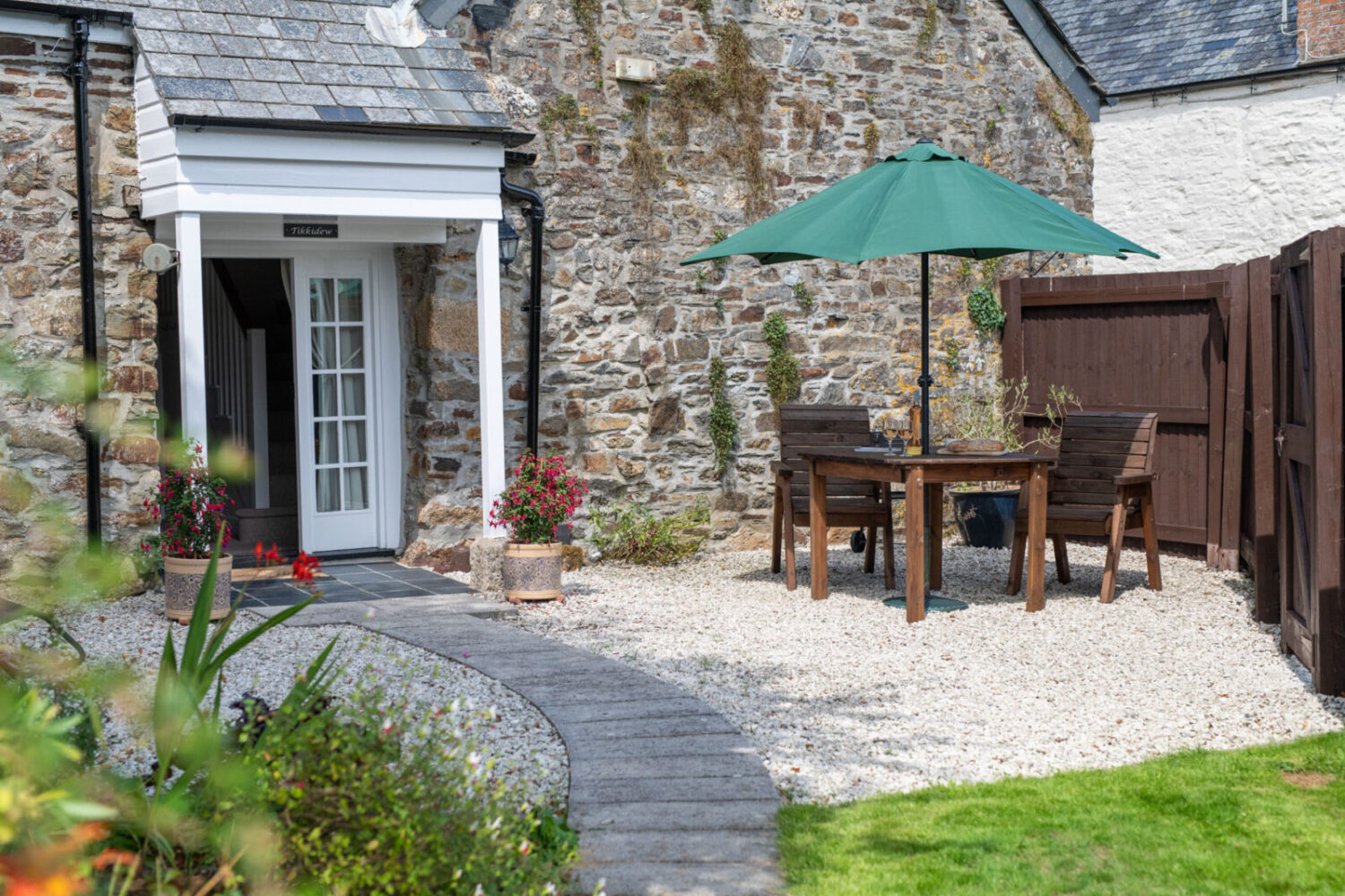
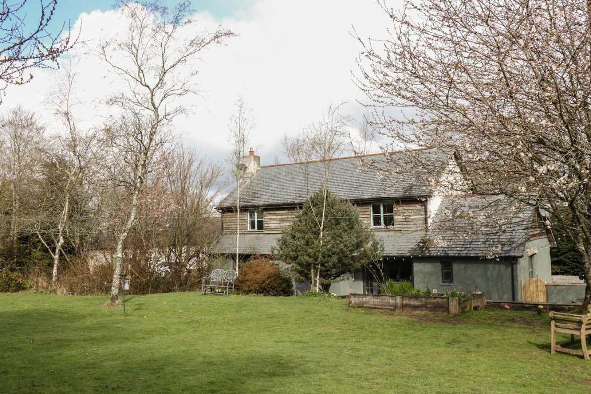
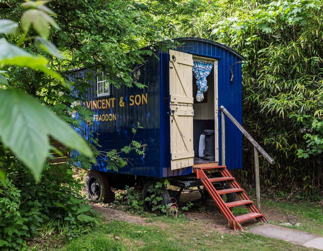
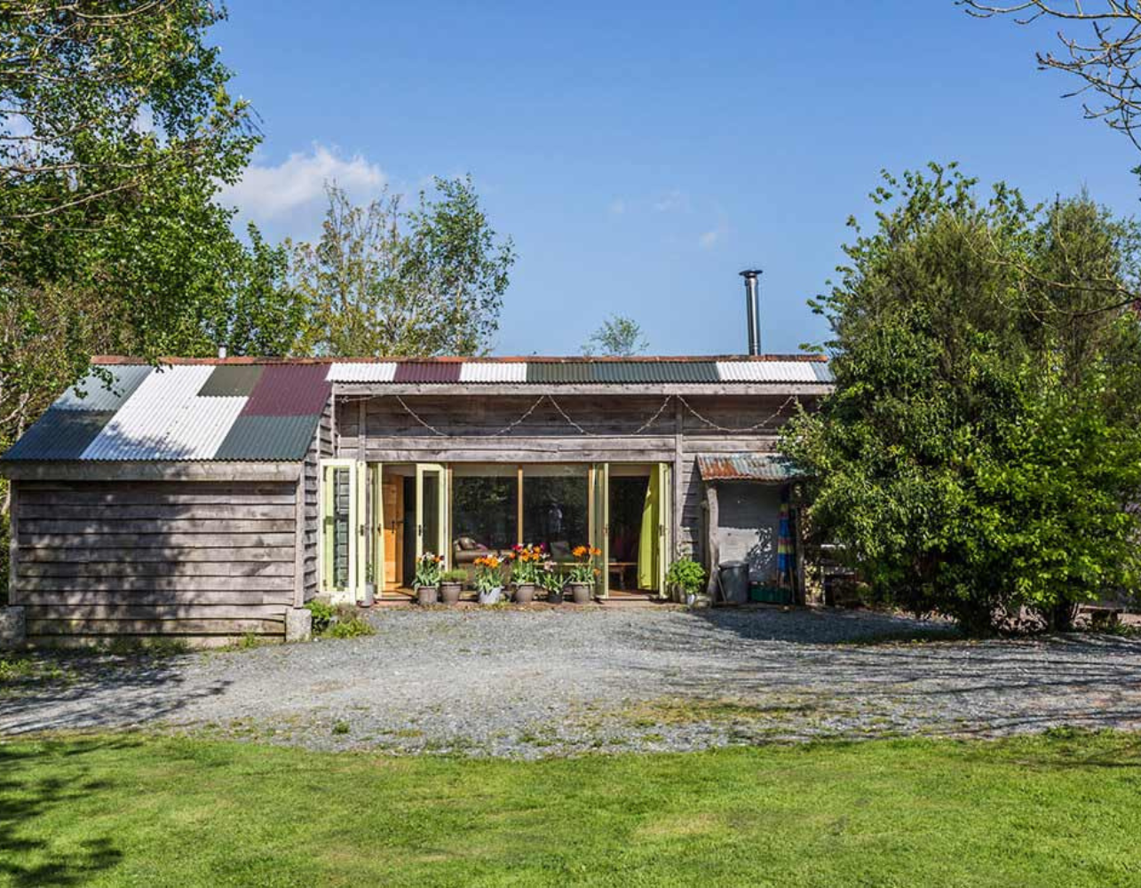
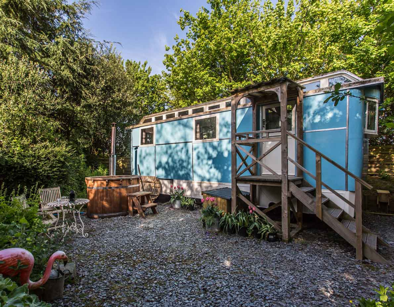
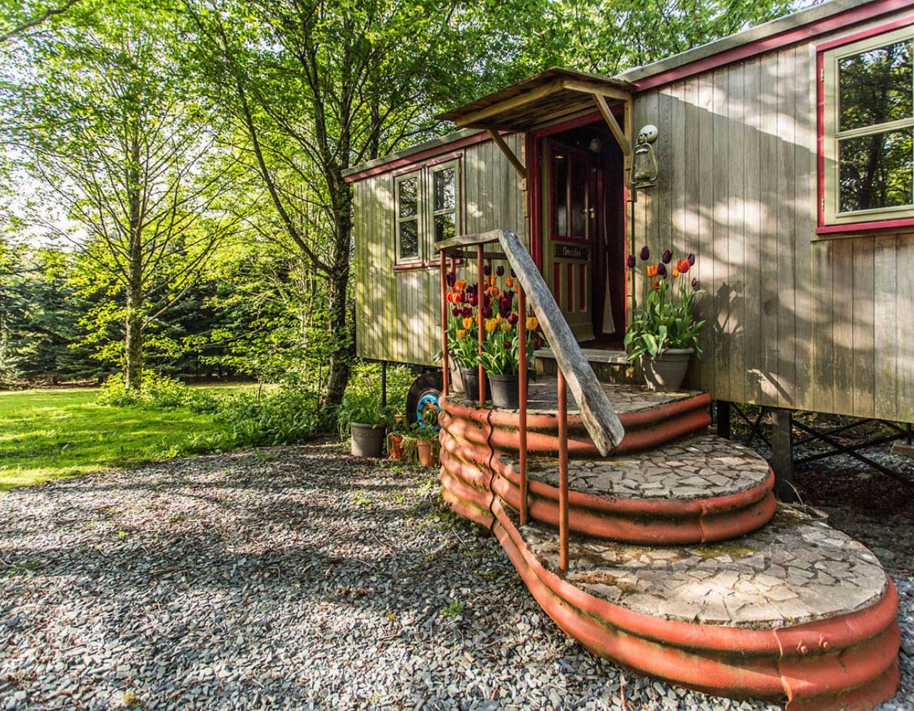
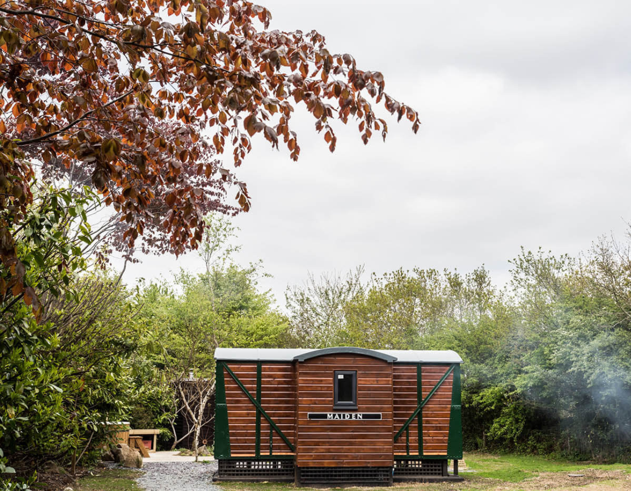
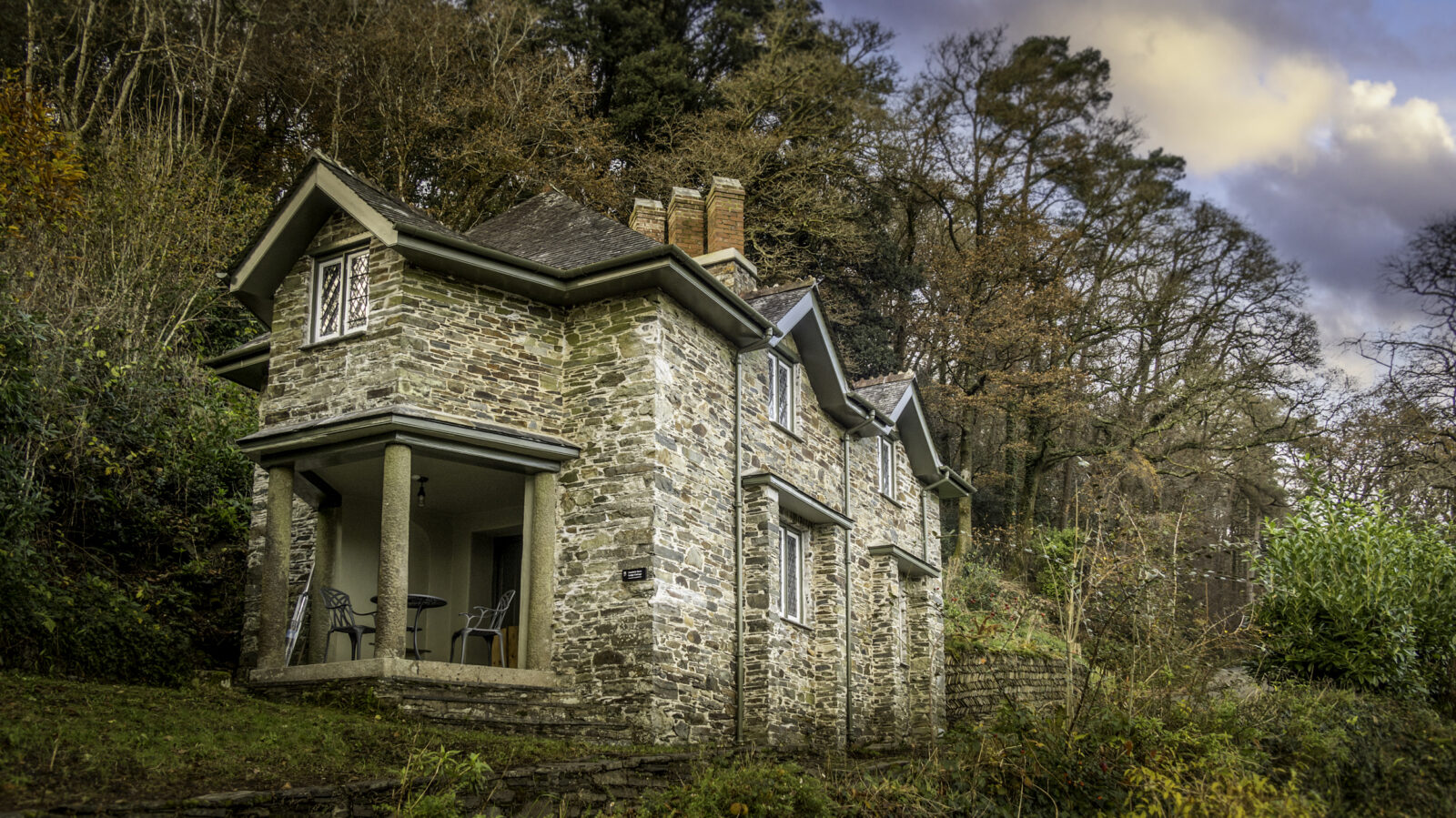
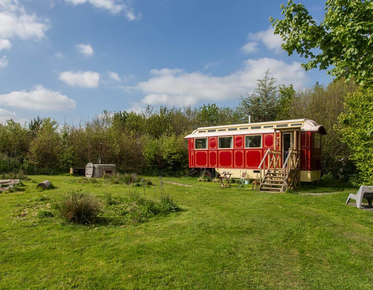
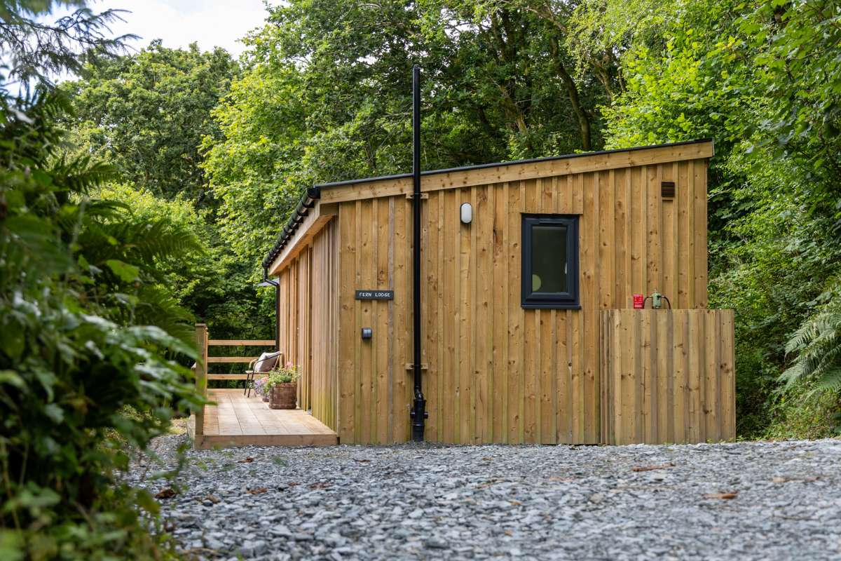
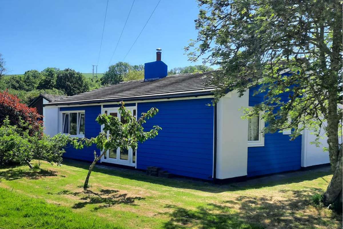
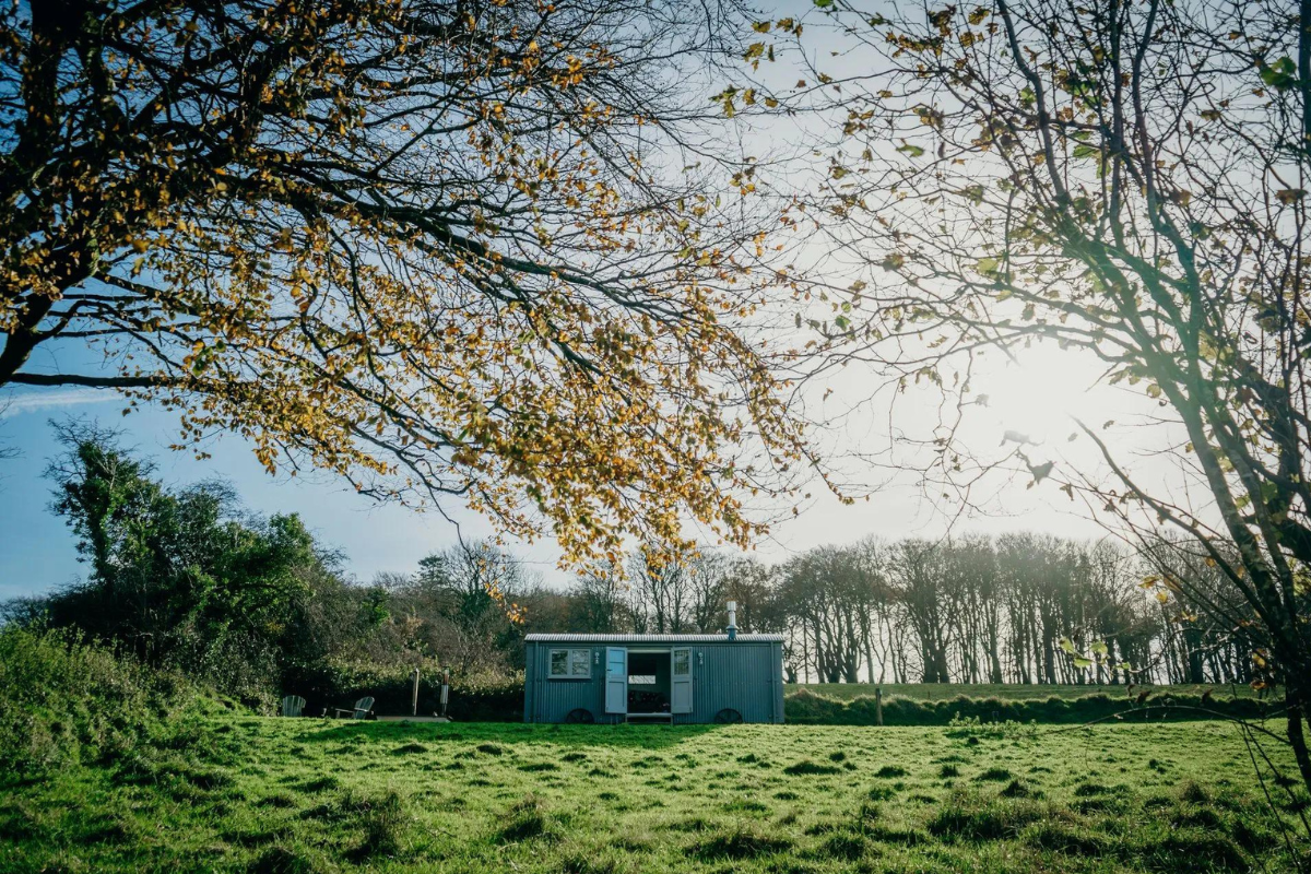
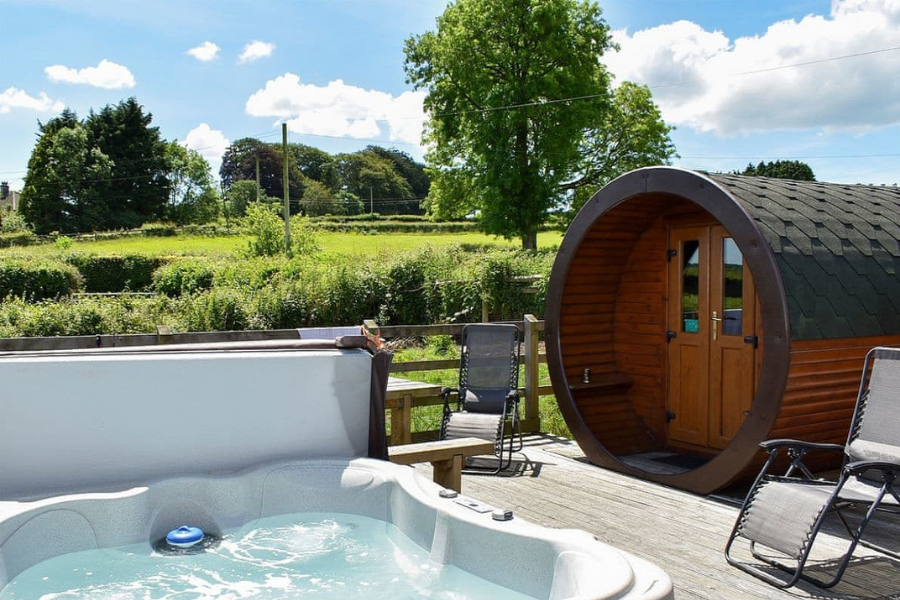
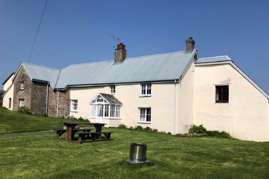
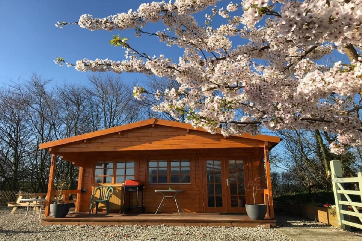
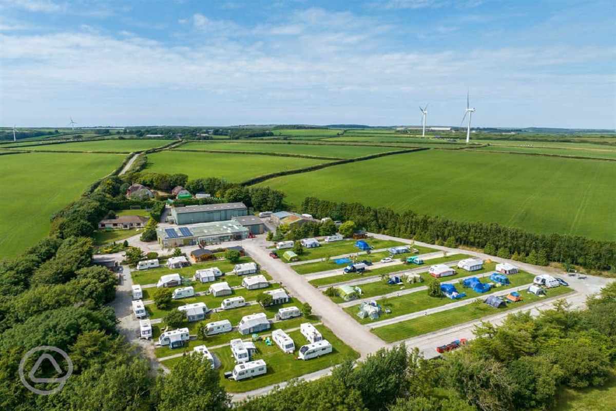
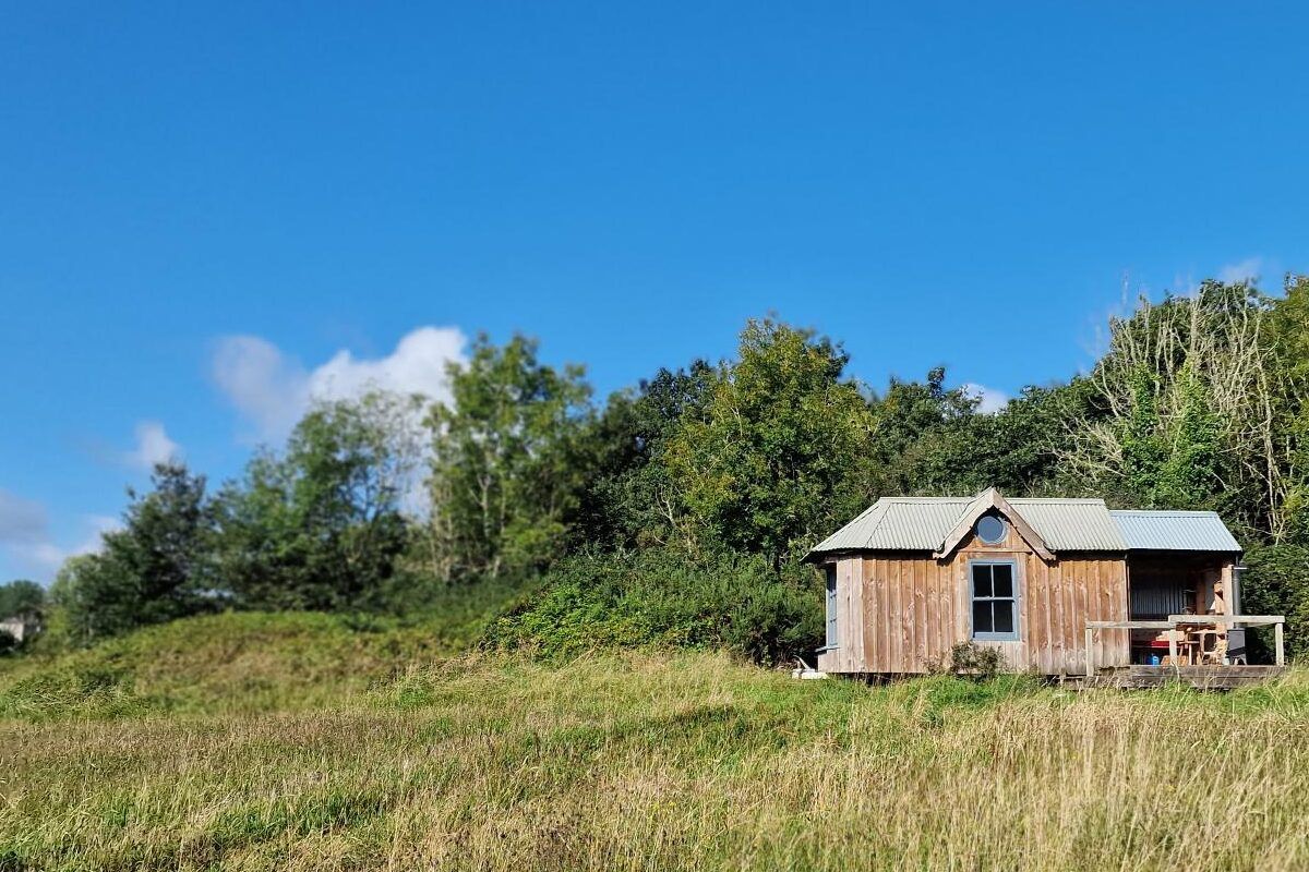
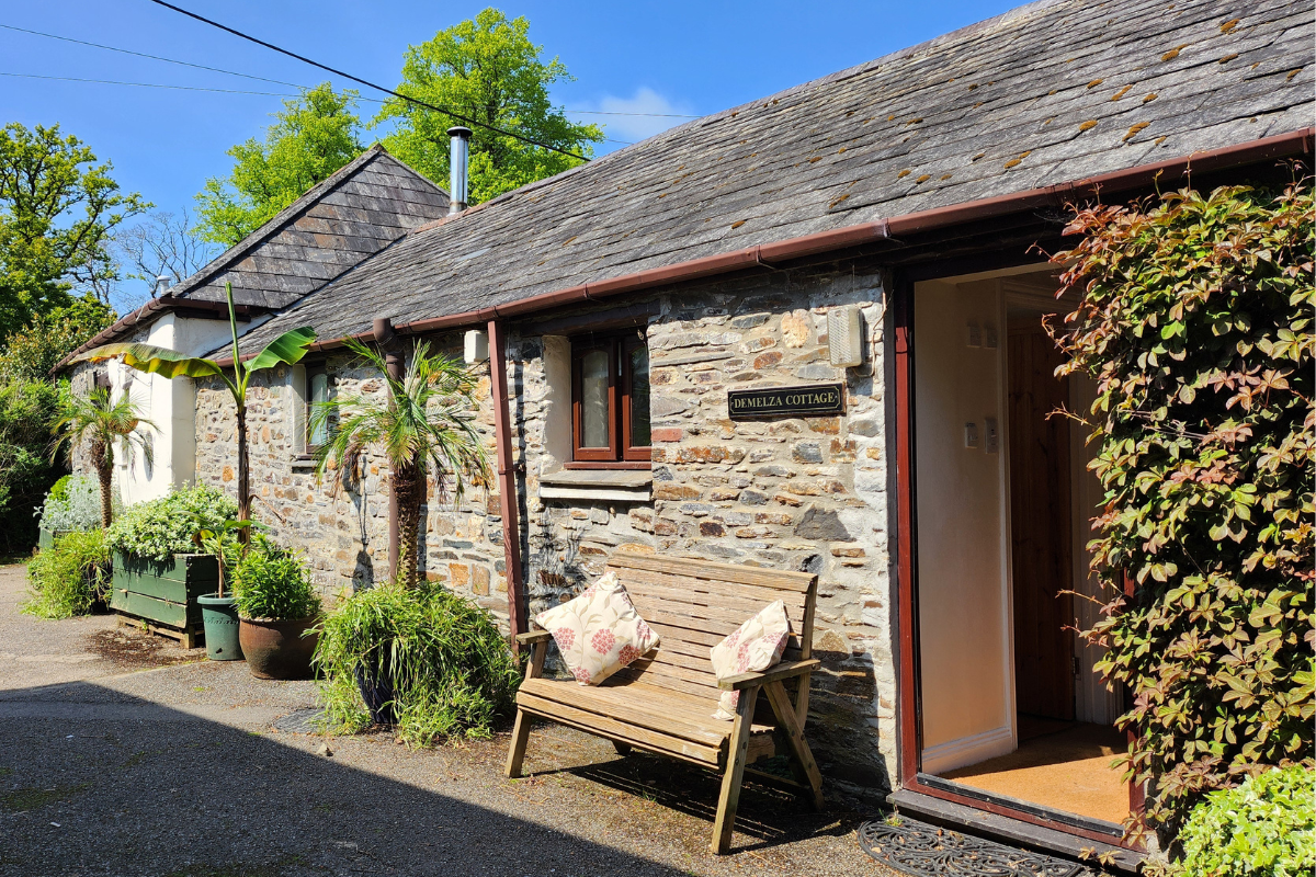
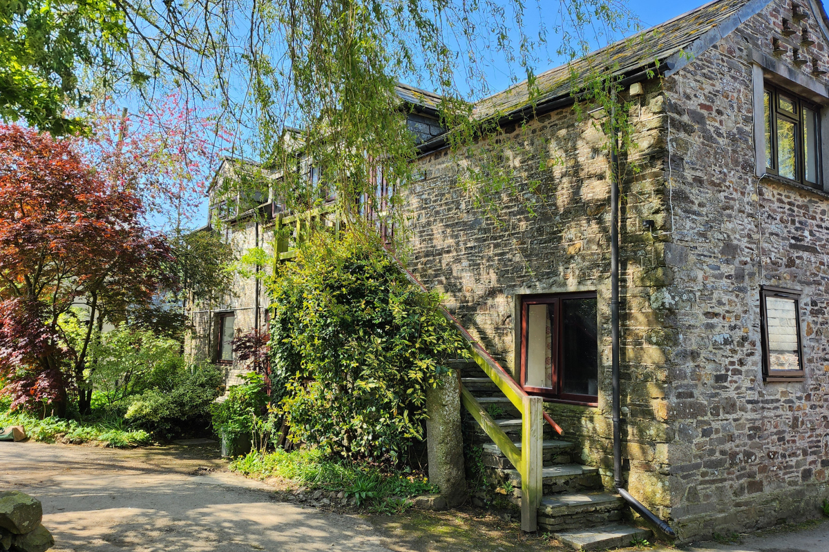
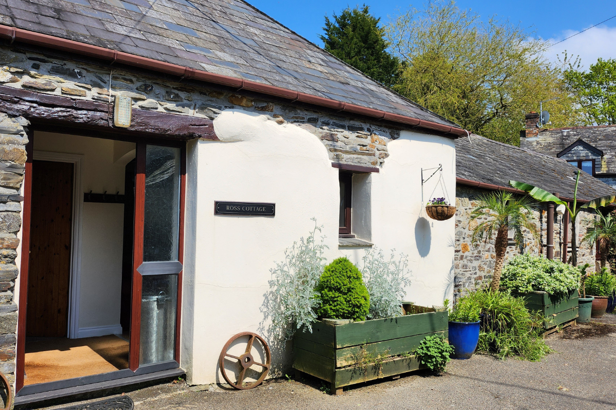
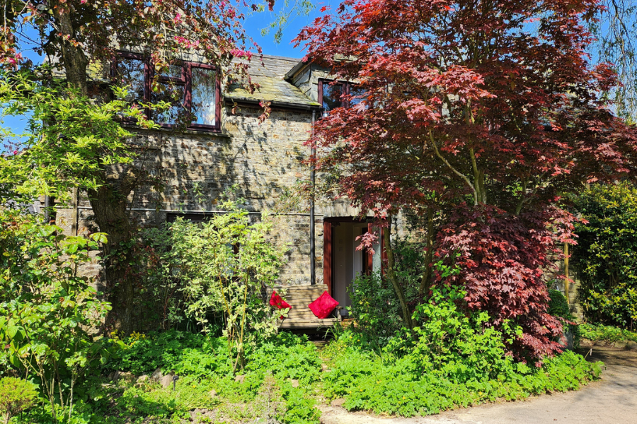
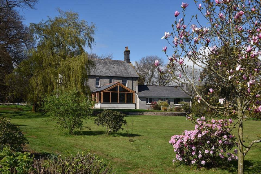
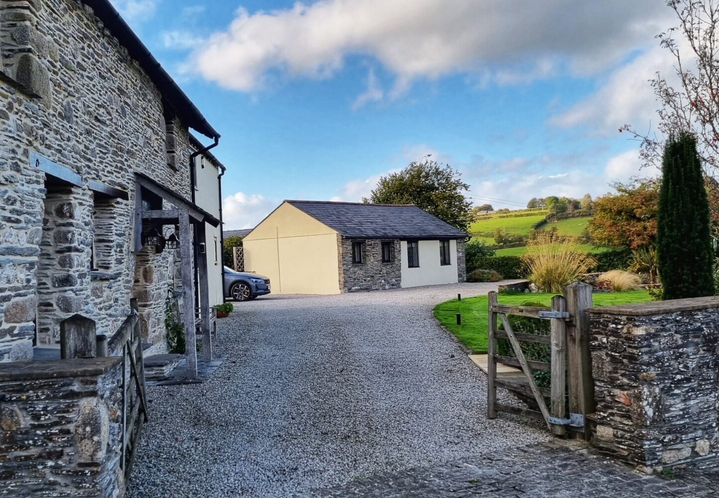
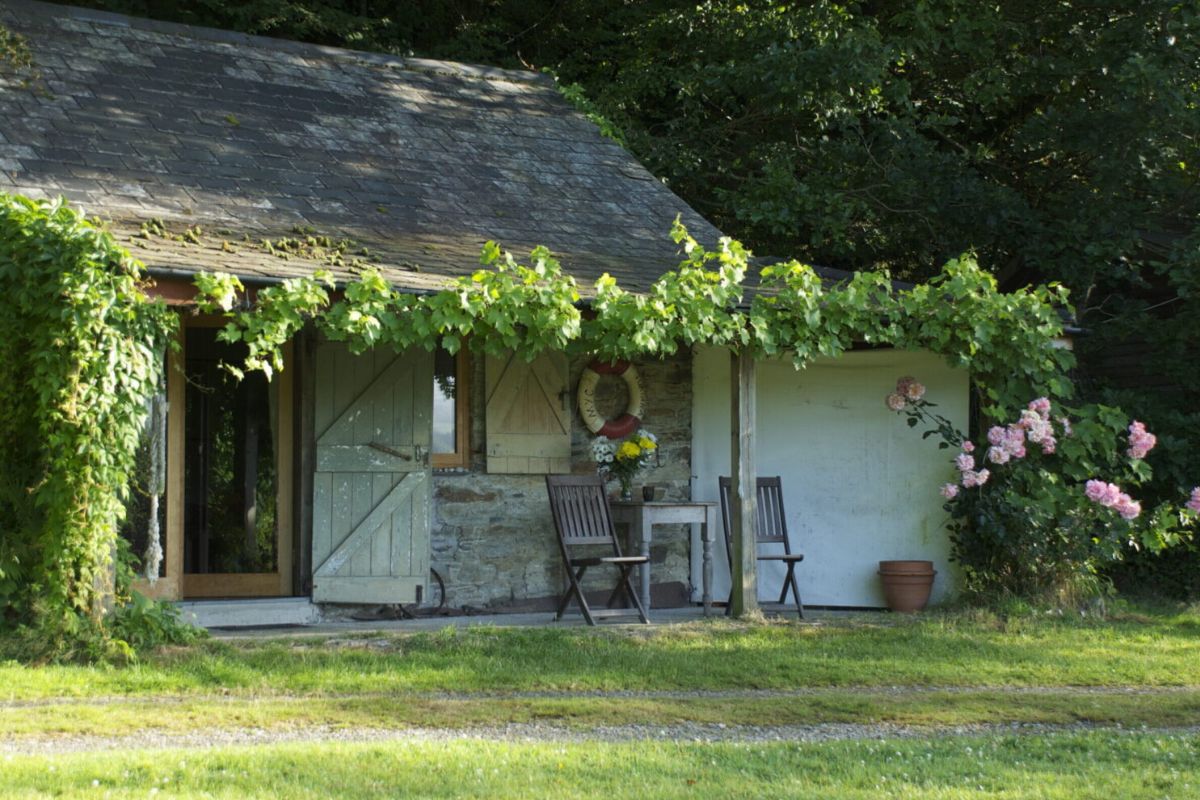
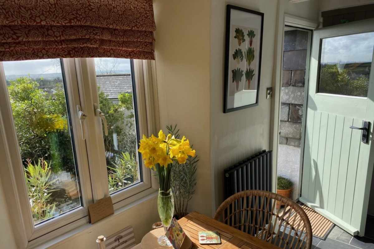
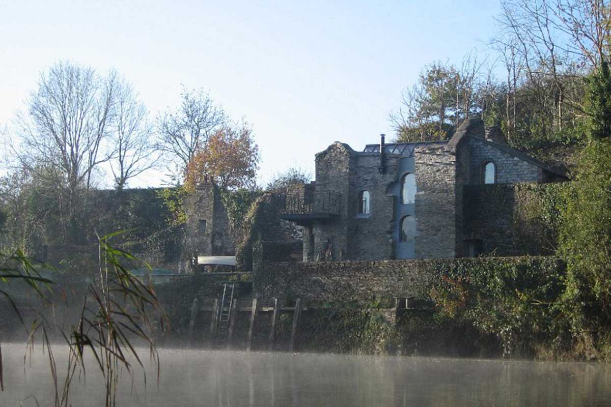
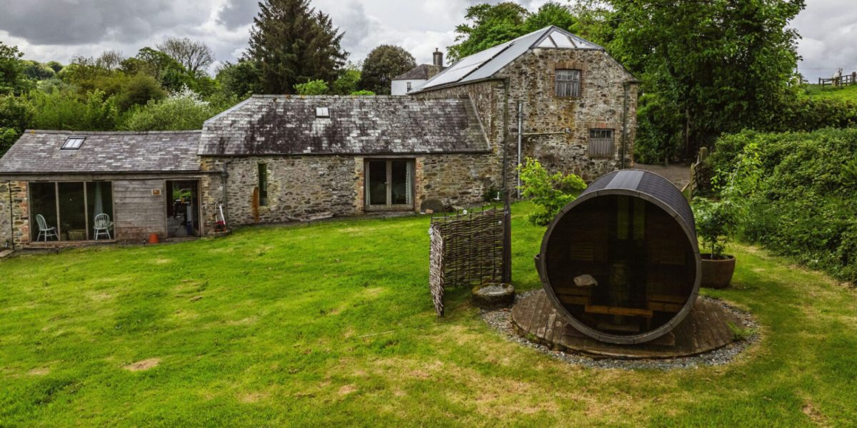
We’ve included links to places to stay, including self-catering, bed and breakfast, camping, glamping and hotels on the map below. Click the red map pins to find out more and book direct.
Walkers should note that whilst you can enjoy The Discovery Trail as a walk in its own right, it also forms part of the Coast to Coast Way. Now marked with a bee symbol, the Discovery Trails is a wonderful long-distance walking route that begins at Tamerton Foliot and travels no further north than Launceston. A distance of some 35 miles. Once again, whether you choose to conquer the trail in its entirety or opt for shorter sections, the choice is yours to explore and enjoy. Find out more in our blog.
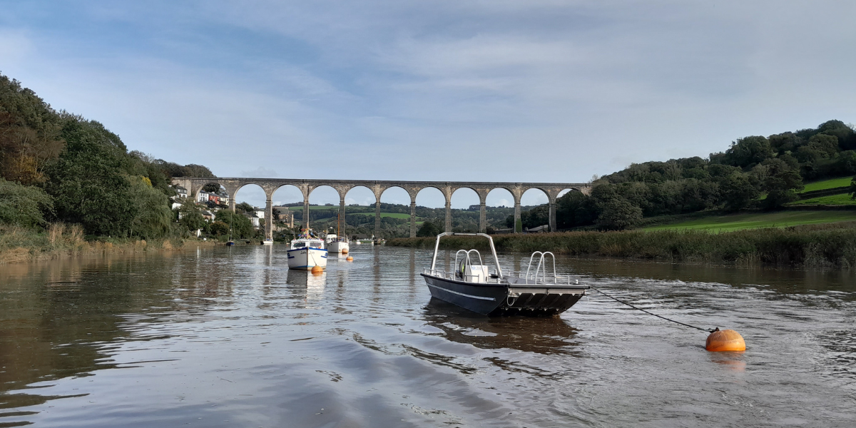
The Calstock Ferry

The Calstock Ferry relaunched on Thursday, 22 May 2025, bringing a historic river crossing back to life with a modern, eco-friendly twist. Now the UK’s first fully solar-powered cross-river passenger ferry, it connects Ferry Farm in Devon with Calstock in Cornwall, restoring a centuries-old route that dates back to Saxon times.
It’s a game-changer for walkers tackling the 87-mile Tamara Coast to Coast Way, cutting out the train detour between Bere Alston and Calstock. The ferry also offers access to nearby heritage sites like the National Trust’s Cotehele, plus scenic river cruises and wildlife-spotting trips through the beautiful Tamar Valley.
Lopwell Causeway - now repaired

Update 1st April 2025. We are delighted to report that the damage to Lopwell Causeway has been fully repaired and the crossing is now safe to use.
Thank you for your patience and understanding in this matter. We hope you enjoy walking the route.
Find places to stay

Use the map below to follow both the main route in yellow and the Cornish alternative in red. As you do so, you’ll notice some large red pins, plus some blue, pink, and green ones too. These indicate Visit Tamar Valley member businesses en route or nearby. Some businesses offer
- Luggage transfer services
- Planning and itineraries
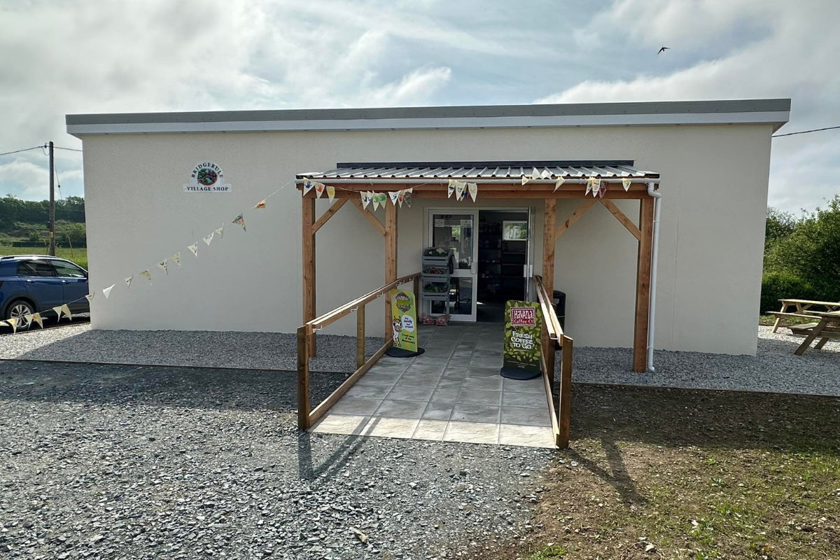
- Rest & refreshments
- Enrichment through things to see and do.
Click the pins in turn to read more about what each one offers to help you work out where to stay, where to stop off and what to look forward to.
The red pins indicate places to stay, the blue pins indicate places where you can stop, rest, and refuel and the pink pins indicate interesting places you may like to build into your adventure and the green ones indicate where you can get help with planning or even guiding. We’ll be adding more pins as the months unfold so be sure to check back regularly.
We hope the map will provide you with a practical and easy way to plan your walk along the Tamara Coast to Coast Way. Whether you tackle it over time or blast the whole thing out in seven days.
Key
Places to stay
Places to rest & refuel
Interesting places to visit
Planning & Guiding

Tamara Coast to Coast Way

Kylgh Kernow Alternative

Link Routes

Rail Link
Places to stay

Places to rest & refuel

Tours & transport

More local walks


