Bere Alston Station to Bere Ferrers Discovery Trail Walk

Easy

7½ miles (12.1km)

4 hours

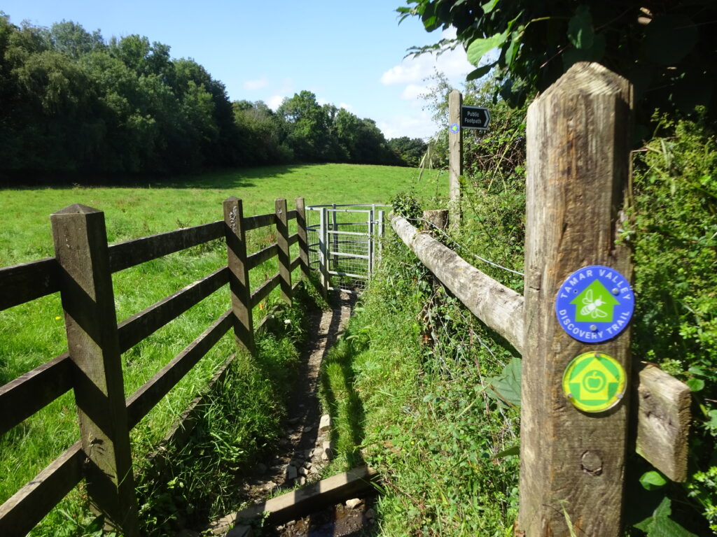
A wonderful walk upriver along the Tamar Valley Discovery Trail, via sweeping pasture fields, woodland and quiet lanes, enjoying glorious views along the Tamar at every turn.
SUMMARY

The Tamar Valley Discovery Trail (TVDT) is a 31-mile waymarked walking route that forms part of the Tamara Coast to Coast Way (TCCW), an 87-mile route linking Cremyll on the south coast of Cornwall to Marsland Mouth on the north, following the Devon border as closely as possible. This beautiful walk heads downriver, passing under the impressive viaduct at Calstock then following the west side of the peaceful Bere peninsula, enjoying glorious views. Use the picturesque Tamar Valley Line to access the start, then hop on the train again at the end of your walk!

KEY FACTS

Start/Finish

Bere Alston Station SX 440674, PL20 7ES

Distance

7½ miles (12.1km)

Time

4 hours

Terrain

Steep ascent/descent over South Hooe peninsula

Difficulty Rating

Easy

Toilets

None on route

Parking

Public Transport

Rail services Tamar Valley Line to/from Gunnislake and Plymouth; bus services to/from Bere Ferrers and Tavistock

Dogs

Under control at all times (livestock in fields); non-dog-friendly stiles; on leads in fields near Bere Alston Station and at South Ward Farm

Directions

1 SX 440674

Bere Alston Station opened in 1890, and was important for the onward transport of local market garden produce in the early 20th century. Head down the access drive, then turn right to pass under two railway bridges (the line to Plymouth, and then to Gunnislake). Pass a house, then turn left through a kissing gate into a field. Bear half-right, downhill: Kit Hill can be seen in the distance ahead. Cross a stream and pass a footpath post to find a kissing gate leading onto a narrow woodland path. Fenced-off shafts below are a reminder of the peninsula’s industrial past, when it was extensively mined for silver and lead; two parallel mineral lodes run north–south along its length. The mines – many dating back to medieval times – were some of the most prized in England, and originally owned by the king. Pass a path junction and keep ahead to pass below Buttspill; descend steeply through beautiful beech woodland to reach a footpath post.

2 SX 435683

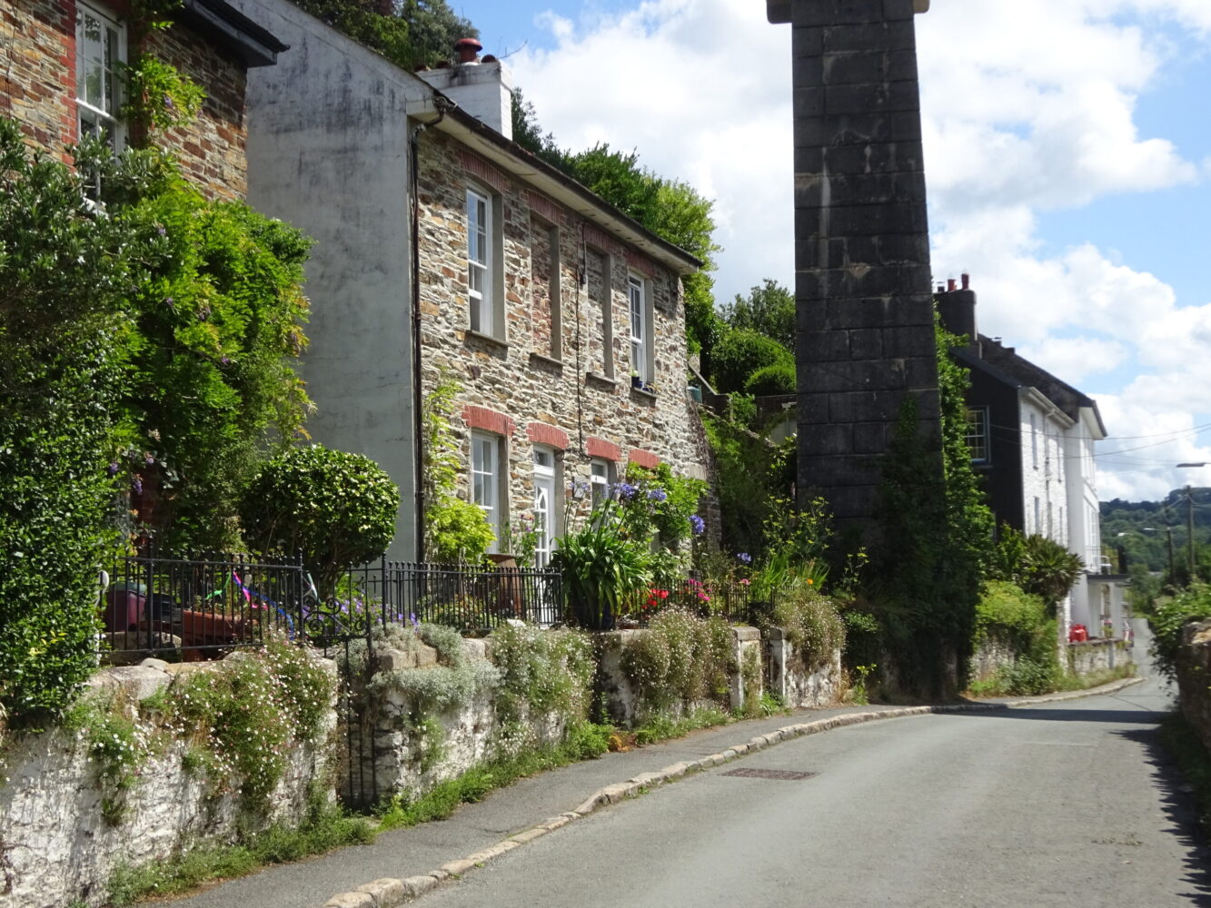
Turn right for about 50 yards to reach another footpath junction and bear left, downhill, to descend steps and then follow the path along the riverside embankment, built in the 19th century to create agricultural land. Ahead is the impressive Calstock Viaduct, constructed 1904–7 to connect the railway at Bere Alston with the East Cornwall Mineral Railway (now the Tamar Valley Line as far as Gunnislake); on the opposite bank sits the delightful Cornish village of Calstock.

3 SX 434685

Reach a path junction near Ferry Farm, which functioned as the Passage Inn during the 19th century. Keep straight on, following a permissive path along the embankment, to pass under the viaduct. Danescombe Valley House, built in the 1850s, stands on the opposite bank at a big river bend. For much of the 20th century it was run as a small hotel for visitors arriving by boat. The river sweeps south beyond the Danescombe valley, alongside reedbeds; Cotehele Quay come into view on the west bank.

4 SX 426685

At the end of the embankment cross a stile and turn right, soon passing a ruined building. Pass through a gate (a footpath comes in sharp left) and head along the right edge of a big pasture field. At field end the footpath continues through beech woodland, opposite Cotehele Quay. Pass a slipway opposite the quay; at a footpath post bear left, uphill. Go through a gate and pass picnic tables at Ward Mine (there’s no visible evidence of the mine, which operated in the 13th and 19th centuries); go through another gate to pass directly in front of Ward Mine Farm to reach a track junction.

5 SX 426677

Bear right down the drive to South Ward Farm. At the end (farmhouse right) bear slightly left through a gate and follow the right of way along an embanked path and then the edge of a field, to reach a gate. Follow a narrow path through woodland: in the 19th century these slopes produced flowers for export to Plymouth and London markets. Keep along the right edge of the next field, turning left at the end and ascending steeply. Turn right to negotiate a combe and reach a path junction. Keep along the left hedge in the next two fields, descending in the second: downriver spot Pentillie Castle, built in 1698 and largely rebuilt in 1810. Look out for a white building at Halton Quay on the Cornish bank: St Indract’s Chapel, formerly the quay office and consecrated in 1959. Towards the end of the second field turn left through a small gate, descend steps and cross a boardwalk through reedbeds, to meet a path junction.

6 SX 428662

Turn right on an ascending path and through a gate into a field (in the woods nearby are the ruins of North Hooe mine buildings); pass a footpath post, then descend into trees, soon crossing a boardwalk. Ascend steps, then climb very steeply up the left edge of two fields; the gradient eases in the third. Reach a lane; turn left for a few steps, then turn right into a field and follow the left hedge. A V-stile leads into woodland; keep ahead at a path junction, descending steeply to reach the lane at Holes Hole.

7 SX 430653

Turn right. The house on the lane is the former Tamar Hotel, hosting guests arriving by boat. The quay here, along with many others up and down the river, was built to service the peninsula’s lead and silver mines (and later – before the coming of the railway – the needs of local market gardeners). Look back to spot a prominent white building, on the Devon side of the river: South Hooe (with North Hooe) was the richest silver mine in the area in the 19th century. The restored engine house is concealed by trees. Follow the lane downriver, looking out for a limekiln in a garden, and then a lane to Cotts (there’s a VR postbox on corner). Pass Weir Quay Boatyard (The Yard Café: not open every day), site of an 18th-century quay and, in the 19th century, the Tamar Smelting Works, servicing the South Hooe mines. Pass another limekiln (left), and a wooden installation on the right, carved with representations of local wildlife; opposite a track leads to the South Tamar Mine. In the 19th century, the advent of steam pumping enabled mining to extend under the river; in 1856 (fortunately on a Sunday, so no lives were lost) water burst into mine, stopping profitable extraction in its tracks. The lane curves inland at Clamoak – leaving the Cornwall and West Devon Mining Landscape World Heritage Site – and climbs away from the river, then descends into a small combe

8 SX 444644

Just before the lane bends right, turn right over a bridge and follow the enclosed path ahead, then along the edge of a field, by a wonderful line of hornbeam. Cross a stile and follow a narrow path to reach Liphill Quay; smuggling activity was once linked with this tucked-away spot.

9 SX 444639

Turn right towards the water, then left to cross the slipway and boardwalk, and pass below a garden. Keep along the edge of two fields; boardwalks carry the right of way across damp ground. On old maps ‘Egypt’ denotes a farm settlement nearby; the creek at Liphill is sometimes referred to as ‘Egypt Bay’ (because of its supposed similarity to the Nile delta!). Cross a V-stile and turn right towards the saltmarsh, then turn left along the lower edge of a huge sloping field, passing beautiful oak trees.

10 SX 441631

Reach the end of the field (a stile in the corner gives ‘there-and-back’ access to Thorn Point, across marshy ground). In medieval times Cargeeen, on the opposite shore, traded in cured Tamar salmon. From the 19th and into the 20th century the village was linked by ferry to Thorn Point. Market garden produce was ferried over for onward transport to London or Plymouth by train from Bere Ferrers. Turn left, uphill; at the top make sure to turn around look at across the river to Cargreen and upstream to Weir Quay and beyond. There is extensive saltmarsh on the Devon shore: the estuaries of the Tamar and its tributaries – the Lynher (Cornish side) and Tavy (Devon side) – host more than 30% of Devon and Cornwall’s saltmarsh. Downstream is the mid-20th-century Tamar Bridge, spanning the river between Plymouth and Saltash alongside Isambard Kingdom Brunel’s railway bridge (1859). Keep along the right edge of the next field; head straight across the next one, picking up a hedge on the left. Continue down a track to pass under the railway bridge. The track becomes tarmacked between houses, and reaches a T-junction.

11 SX 453634

Turn left along Station Road, to find Bere Ferrers Station (on the main line between Plymouth and London Waterloo from 1890 until the 1960s – the branch line to Gunnislake was retained as the Tamar Valley Line) on the left.

Map

All Short Walks

Filter by Difficulty

Filter by Town

NEar by