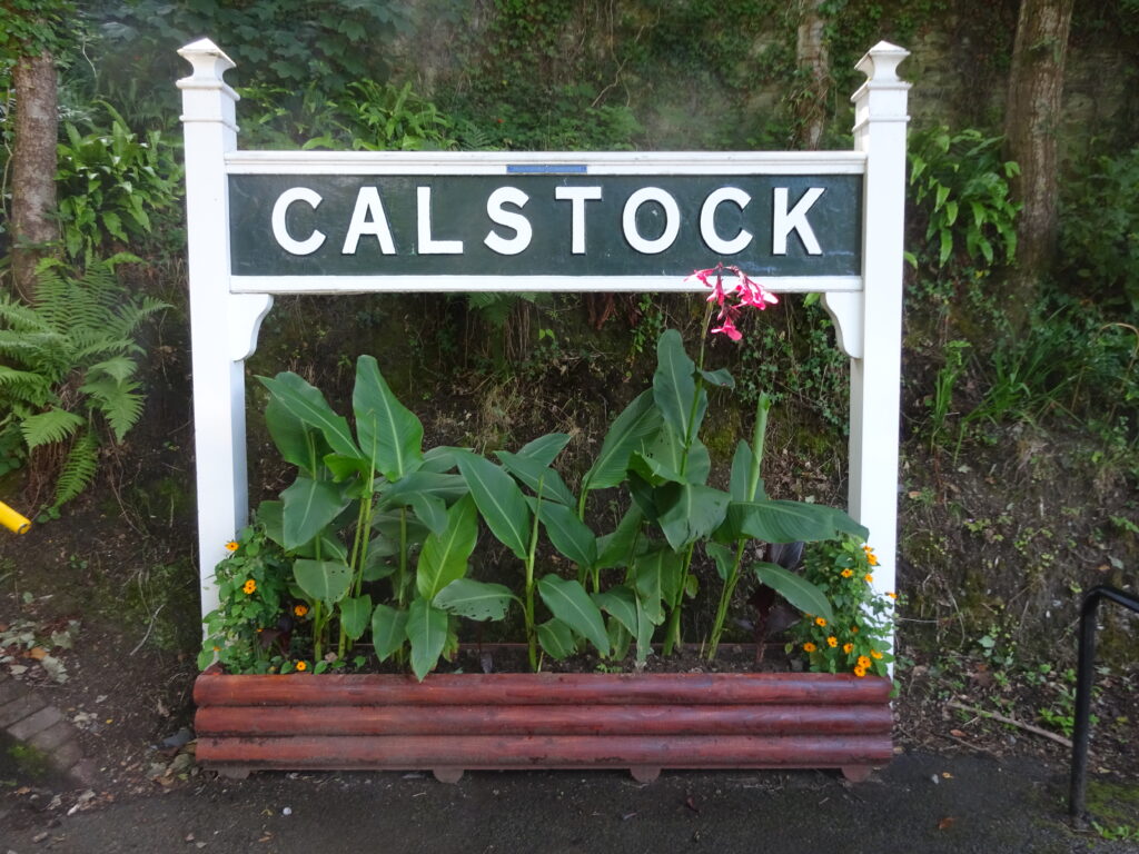
Calstock Station to Cotehele Quay & River Tamar Circular Walk

Moderate

3 miles (4.8km)

2 hours

Calstock Station
A lovely stroll along the banks of the beautiful River Tamar to historic Cotehele Quay, with a return via Cotehele House and garden.
SUMMARY

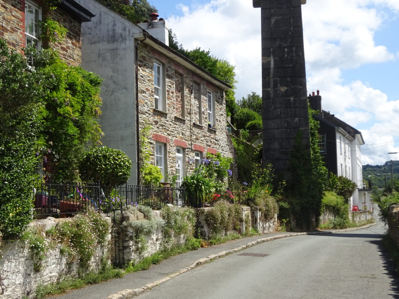
Visit Calstock on a bright sunny day and you’d be forgiven for thinking you were by the sea! This historic settlement has the feel of a Cornish fishing village – terraces of brightly coloured cottages and a network of narrow streets and ways cling to the steep valley sides above the tidal River Tamar – overlooked by the magnificent Calstock Viaduct. You may even be accompanied by the cry of seagulls as you make your way downriver to the National Trust’s Cotehele Quay and Cotehele House, said to be the finest Tudor house in Cornwall.

KEY FACTS

Start/Finish

Calstock Station SX 434687, PL18 9RS

Distance

3 miles (4.8km)

Time

2 hours

Terrain

Quiet lanes and undulating woodland paths, some rough; short yet steep descent to Cotehele Quay/ascent to Cotehele House

Difficulty Rating

Moderate

Toilets

Cotehele Quay and Cotehele House

Parking

Public Transport

Rail services Tamar Valley Line to/from Gunnislake and Plymouth; bus services to/from Callington, Gunnislake and Tavistock

Dogs

Under control at all times

Directions

1 SX 434687

Head down the tarmac access path; cross Sand Lane and turn left, downhill, catching glimpses of the river and viaduct, constructed 1904–7 to connect the railway at Bere Alston with the East Cornwall Mineral Railway (now the Tamar Valley Line as far as Gunnislake). Pass the old Methodist chapel, dating from 1910 and now home to Calstock Arts.

2 SX 435686

Turn sharp right along Lower Kelly, passing under the viaduct, with fabulous views – you’ll be able to spot Cotehele House high above the Cornish bank, peeping out of the trees. Pass Calstock Boatyard (site of Kelly Quay), opposite a big limekiln. Pass under a bridge, which carried an inclined plane linking the East Cornwall Mineral Railway – which opened in 1872 to service the mines between Kelly Bray and Calstock – to the riverside quays (look out for a sign for Danescombe Quay, bearing a date of 1822). Pass elegant Danescombe Valley House, constructed in the 1850s and for most of the 20th century run as a small hotel for visitors arriving by boat at Kingfisher Quay. The house overlooks a big sweep where the river turns south: buildings at Cotehele Quay can be seen beyond the reedbeds. Ignore a footpath bearing off right, and keep straight on towards the Danescombe valley, passing Danescombe Pottery and cottages to reach a path junction.

3 SX 425690

Turn left towards Cotehele House on a broad stony path that ascends steadily through woodland. The path eventually levels, then drops gently to another path junction.

4 SX 424667

Bear left and negotiate a steep descent over patches of bare rock. Pause at a rather exposed viewpoint, looking straight upriver towards the elegant 12-arched viaduct. Continue on, now below Cotehele’s garden fence. The path drops towards the river and passes a small stone chapel, dedicated to St George and St Thomas à Becket and built around 1490 by Sir Richard Edgcumbe (see below). During the Wars of the Roses, as a Tudor supporter, Sir Richard was pursued by followers of Richard III; he escaped from them at this spot. The chapel was built after the king’s defeat at the Battle of Bosworth. The broad, level track passes an area that was reclaimed from the river to provide farmland in 1850; the enclosing embankment has now been breached to enable the development of reedbed and intertidal marsh, to attract species such as shelduck, little egret and redshank, and to alleviate flood risk in this part of the valley. When quayside buildings come into view ahead, bear left past the carpark and picnic area; keep ahead past an old warehouse and limekilns to reach The Edgcumbe (refreshments). Lying up here is the Tamar sailing barge Shamrock, built in 1899 to carry cargoes between Plymouth and Torpoint manure works; she worked along the Tamar and Lynher rivers, and along the coast. She was bought by the National Trust in 1974.

5 SX 423681

Pass The Edgcumbe to reach a road on a bend; turn right to find two tarmac ways ahead. Take the one on the left, between stone pillars, and head up the drive towards Cotehele House, following signs for the car park. Pass the disabled parking entrance and reach a tarmac way on a bend; keep ahead to catch sight of the house through a gate. Cotehele House was redeveloped between 1485 and c. 1565 and escaped later modernisation, largely as a result of being owned by the Edgcumbe family for almost 600 years (who also acquired Mount Edgcumbe at the mouth of the Tamar, and focused their interest there). The estate was given to the National Trust in 1947.

6 SX 423685

Turn right to pass the NT reception and then keep immediately right of the toilets; follow the path ahead, below the house and above the sheltered and verdant valley garden. The path bears right, downhill, alongside the garden fence – look out for the magnificent dovecote – to reach the path junction at Point 4. Keep straight on through the woodland, descending into the Danescombe valley; turn right to return to Calstock. On reaching Commercial Road turn sharp left back to the station.

Map

All Short Walks

Filter by Difficulty

Filter by Town

NEar by