Morwell Rocks Circular Walk with extension to Morwellham

Moderate

Short walk (Chimney Rock): 4¼ miles (6.8km); long walk (Morwell Rocks): 5½ miles (8.8km); with extension to Morwellham: 7 miles (11.3km)

Short walk: 2 hours; long walk: 2¼ hours; with extension to Morwellham 3½ hours

Morwell Roacks is an exciting exploration of the spectacular crags dotting the valley woodlands on the east side of the River Tamar below New Bridge, with an optional extension to historic Morwellham Quay. This walk provides an optional extension to Morwellham.

SUMMARY

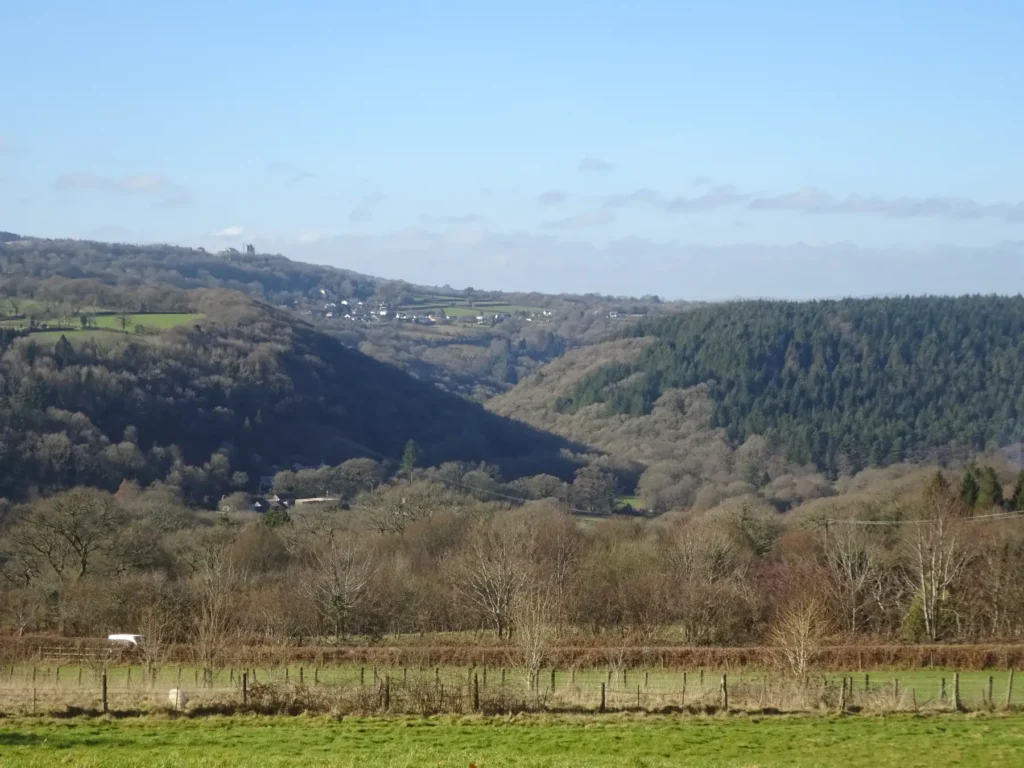
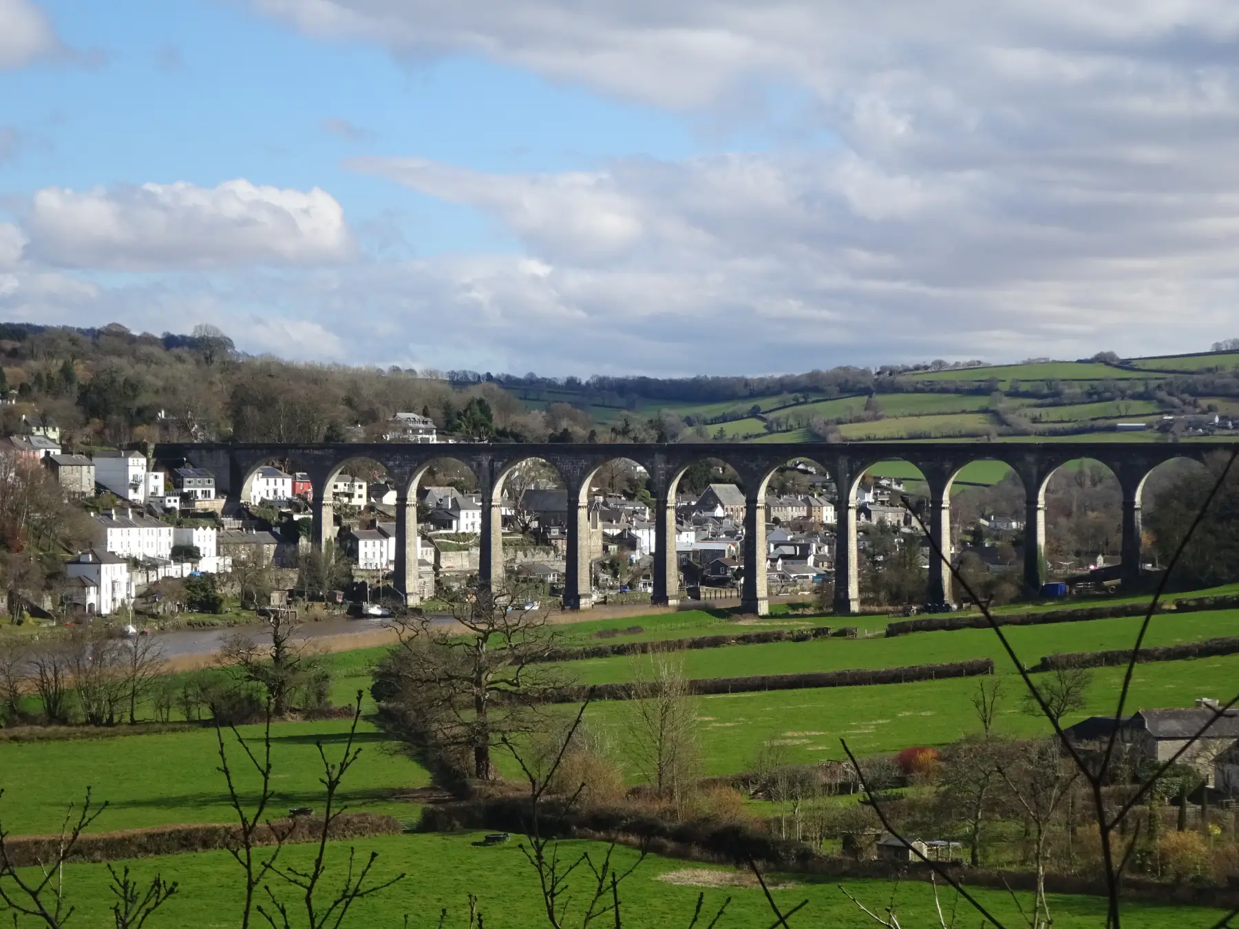
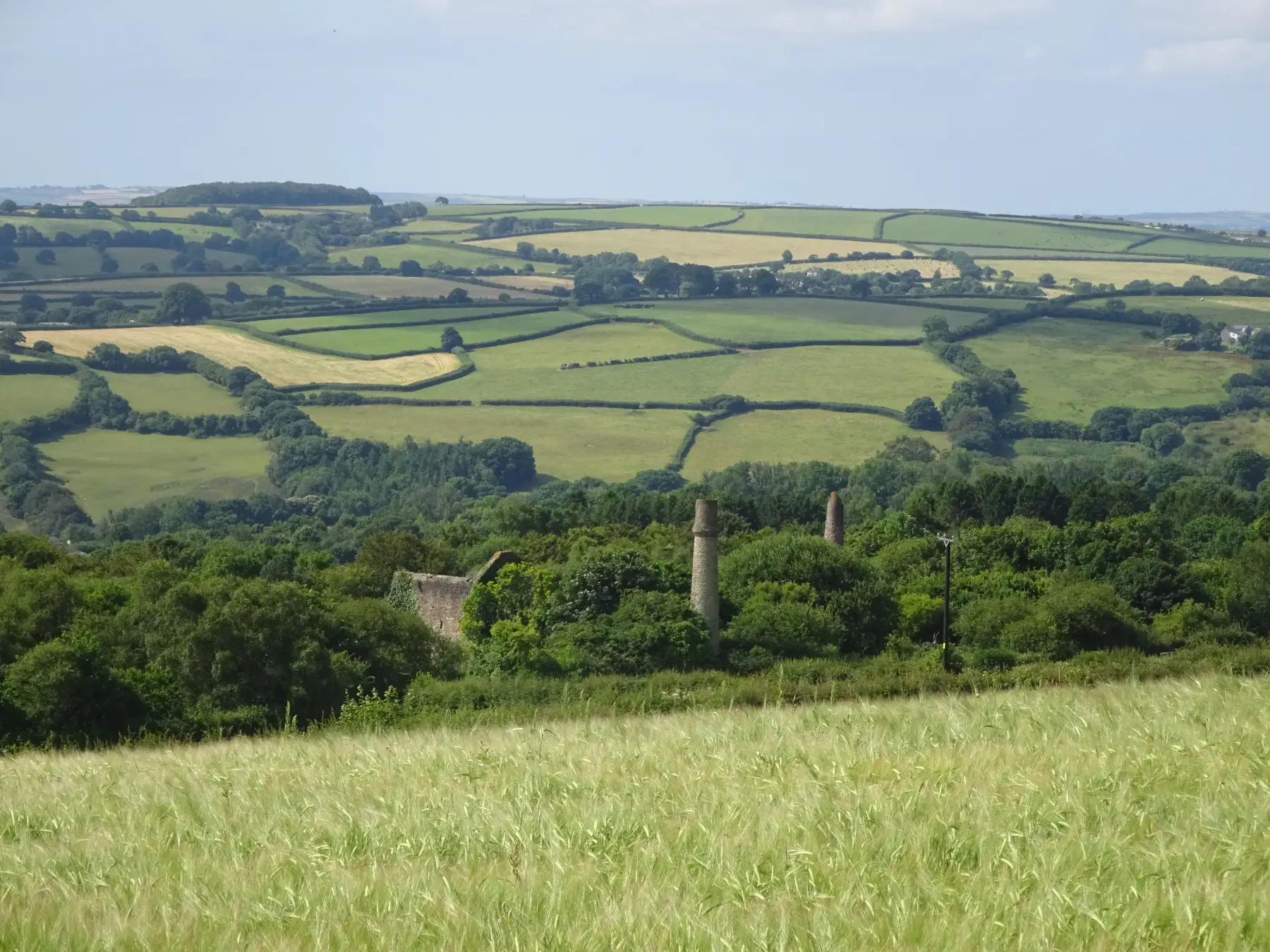
Some of Devon’s most magnificent scenery is found in the Tamar Valley opposite Gunnislake: river cliffs punctuated by a line of dramatic metamorphosed slate crags, towering over the river some 400 feet (120m) below. This walk celebrates this impressive geology, but there is also plentiful evidence of industrial activity tucked away on the wooded valley slopes – and much of the route follows the trackbed of a mid-19th-century mineral railway. There are various options: pick the short route and just visit Chimney Rock; select the long route, which takes in Pleasure Rock and Morwell Rocks as well; or extend the long walk down to Morwellham Quay (with a steep climb on the return).

KEY FACTS

Start/Finish

Tamar Trails Centre car park, Bedford Sawmills SX 438728, PL19 8JE

Distance

Short walk (Chimney Rock): 4¼ miles (6.8km); long walk (Morwell Rocks): 5½ miles (8.8km); with extension to Morwellham: 7 miles (11.3km)

Time

Short walk: 2 hours; long walk: 2¼ hours; with extension to Morwellham 3½ hours

Terrain

Good woodland tracks; steady climb after Point 4 on long route; narrow and exposed path to Chimney Rock

Difficulty Rating

Moderate

Toilets

Tamar Trails Centre (when open)

Parking

Tamar Trails Centre car park (pay & display)

Public Transport

None available

Dogs

Under control at all times

Directions

1 SX 438728

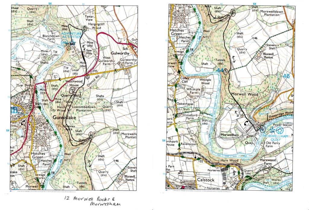
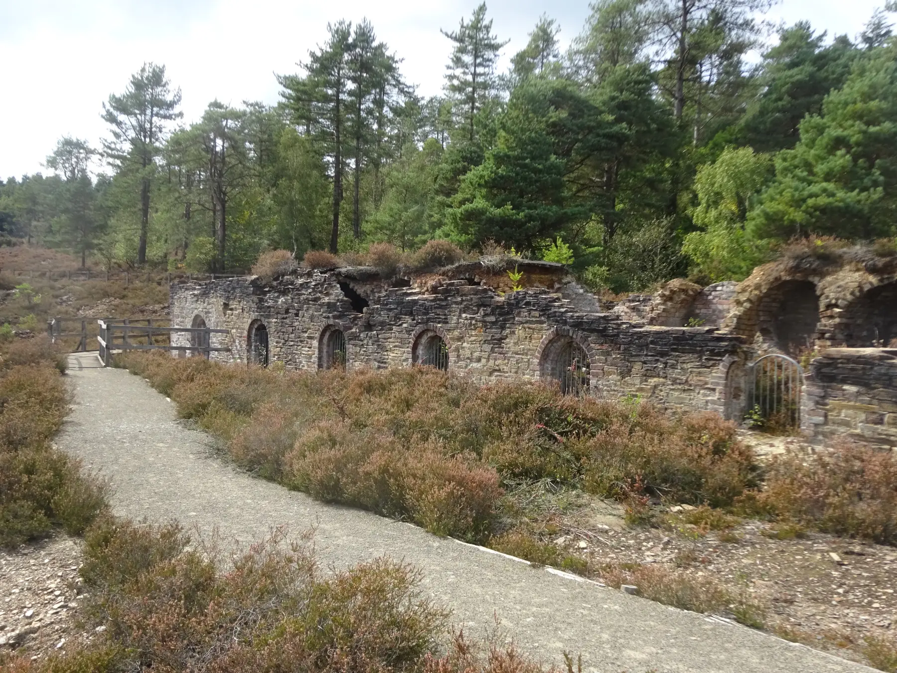
At the far end of the car park follow a broad path into the wood, ignoring an early footpath (right). Beneath the trees look out for the remains of shallow mine workings. At the next path junction turn right on a narrow path, then right again, ascending gently past tree-covered spoil heaps, to reach a crossing track – an old mineral railway trackbed, constructed in 1858 to carry copper ore to Morwellham Quay on the River Tamar, 4½ miles (7.2km) away. Prior to the arrival of the railway the ore had to be transported by horse and cart.

2 SX 439730

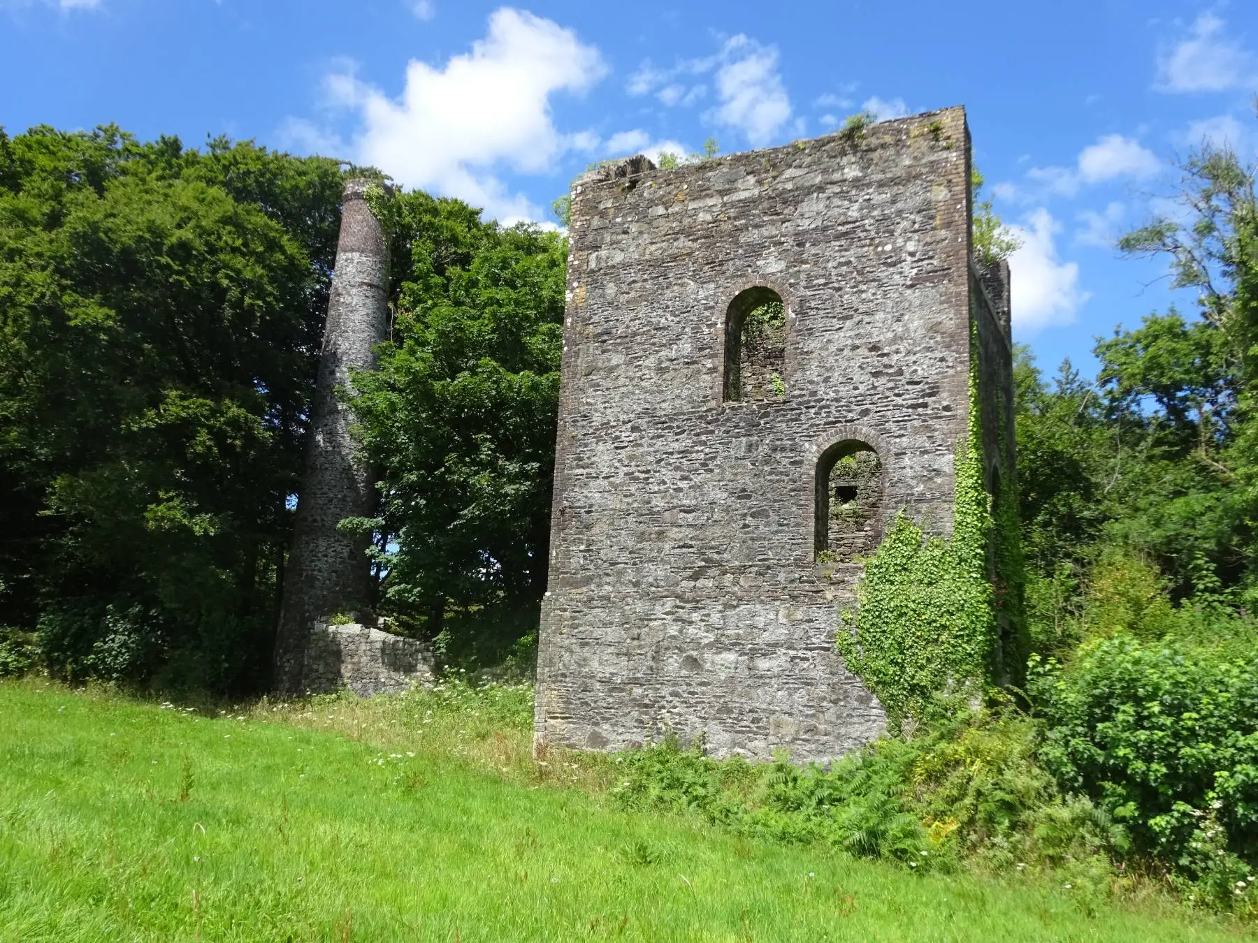
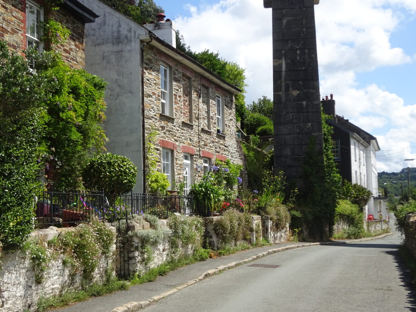
Turn right, towards Morwellham. The track runs through fields: over a gate on the right look for a grassed-over railway trackbed, the branchline to Bedford United Mine. Copper was mined here as early as 1724, and by 1863 it was third largest copper mine in Devon; later tin, wolfram and arsenic were extracted. Operations finally ceased after 1925. Walk on to pass under the Tavistock road, then curve right through a cutting (often muddy), gaining good views across the valley to Gunnislake and Chilsworthy, and the spoil heaps of Devon Great Consols’ Wheal Anna Maria. Downhill note a row of cottages, built by the Duke of Bedford to house miners. Reach a minor road.

3 SX 443724

Cross with care – the road is straight and cars move pretty fast along it. On the other side look back to see the timber yard that now stands on the levelled spoil heaps of the Bedford United Mine. Wind between walls, crossing the railway line (you can see the old railway bridge in the cutting below), then follow the trackbed along an embankment, with lovely views, and into Hatch Wood. Keep ahead at a path crossroads, then pass a track (right) to South Bedford car park. The track continues through soaring conifers, soon running along on the edge of the vertiginous valley side – in winter you may catch glimpses of the river and houses in Hatches Green far, far below. Eventually the track bears left, and descends into a small combe to reach a path junction.

4 SX 441714

SHORT WALK For Chimney Rock turn right, then follow the long walk description (midway through Point 6) below. LONG WALK Wade across a shallow stream, then follow the track steadily uphill and back to the valley edge. Eventually the track levels, passing a fence at the highest point, and then descends slightly to reach sheer-sided Pleasure Rock (fenced off): the top of the rock is just visible. Follow the track on, keeping an eye out for glimpses of a huge craggy cliff between the tree trunks.

5 SX 441704

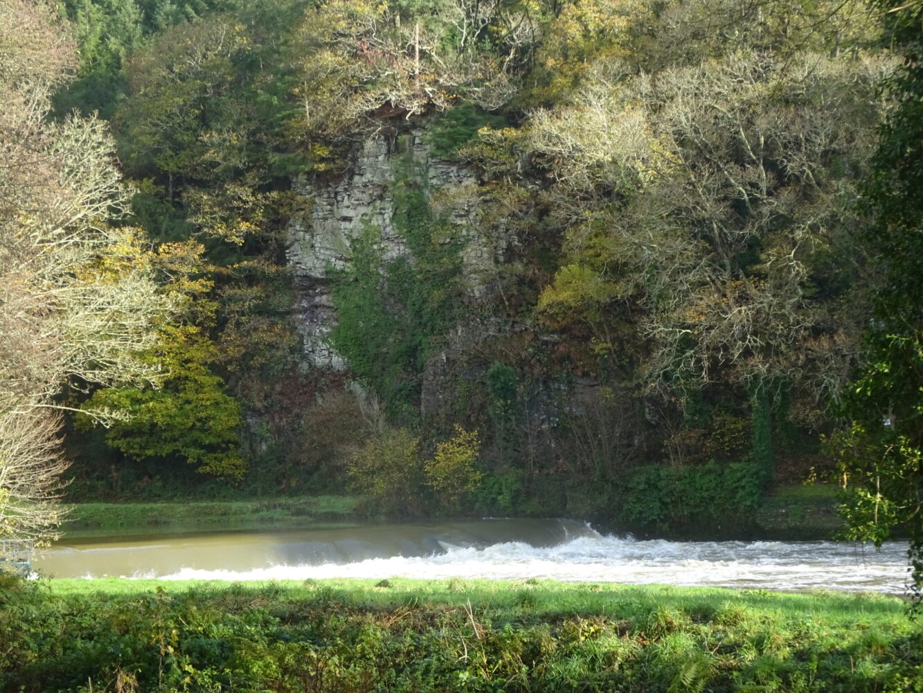
Arrive at the magnificent Morwell Rocks, towering high above a bend in the River Tamar and the site of Impham Quay, which from the early 1700s to the 1870s shipped out tin, granite, manganese and brick clay. It’s a fabulous viewpoint. EXTENSION TO MORWELLHAM Keep straight ahead through Morwell Wood, on a descending track; an impressive waterwheel pit (downslope on the right), once served the inclined plane railway, which negotiated the steep descent to Morwellham Quay. Pass a path on the right signed to Wheal Russell wheel pit; cross a track and go through a kissing gate into the Morwellham estate. The footpath emerges onto a lane; keep straight on, and again at the next junction, by houses, to reach Morwellham Quay.

6 SX 445696

A river port from medieval times, exporting tin and wool from Tavistock Abbey, Morwellham grew in size under the ownership of the Dukes of Bedford. In 1817 the Tavistock Canal was completed, and connected to the port by an inclined railway, powered by a waterwheel. The DGC railway incline, built in 1858, saw an increase in the amount of ore passing through the port, leading to the building of new quays. In the mid-19th century some 500 vessels landed here each year. Retrace your steps to Point 4. Bear left, rounding a wooden barrier. This pretty track heads down the combe, passing a fenced-off mineshaft, and soon runs high above the stream. As the valley edge is reached the track curves right, uphill, and peters out; here bear left on a narrower valley-edge path. This wonderful little path winds through the trees, passing above a run of rocky crags – it’s rough, with a very steep drop on the left, so watch your step. Pass a short fenced-off section above workings at Wheal Russell, and continue through the trees to reach the amazing fenced-off pinnacle of Chimney Rock, named after its resemblance to a mine stack. The path heads on through the pine trees – a little easier underfoot now – to reach a crossing track (South Bedford car park is signed to the left).
7 SX 438720

Turn right, steeply uphill; the track curves sharp right; a few paces on, at a fork, keep left, uphill, to join the outward route. Turn left and retrace your steps to the car park.

Map

All Short Walks

Filter by Difficulty

Filter by Town

NEar by