Lopwell Dam & Blaxton Wood Circular Walk

Strenuous

Short walk: 3¾ miles (6km); long walk: 4¼ miles (7.2km) Time

Short walk: 2 hours; long walk: 2½ hours

This is a pretty and peaceful walk beside the Tavy on the Maristow estate and through Blaxton Wood. This walk also offers long and short return options – both involving a bit of a climb however! Nonetheless, the walk is predominantly along quiet tracks and lanes.


SUMMARY

Lopwell Dam was built in 1953 to enhance Plymouth’s water resources. It offers a serene oasis along the tranquil River Tavy. Surrounding this area is a designated Site of Special Scientific Interest and Local Nature Reserve, renowned for its abundant wildlife. The diverse range of habitats, including woodlands, marshes, and mudflats, attracts a rich variety of species. To cross the Tavy, there is a narrow walkway across the dam that becomes inaccessible for two hours before and after high tide. Along the way, you’ll pass beneath the historic Maristow House, constructed in 1760. This location holds significance as it was once connected to Plympton Priory, a monastery that existed prior to Henry VIII’s dissolution of the monasteries in the mid-16th century.

KEY FACTS

Start/Finish

Lopwell Dam SX 474649, PL6 7BZ

Distance

Short walk: 3¾ miles (6km); long walk: 4¼ miles (7.2km) Time

Time

Short walk: 2 hours; long walk: 2½ hours

Terrain

Narrow woodland path above river, exposed in places; field paths (long route) and quiet lanes; steep climb on return (both routes)

Difficulty Rating

Strenuous

Toilets

None on route

Parking

Lopwell Dam car park (SW Lakes, no charge)

Public Transport

None available

Dogs

Under control at all times; on leads at Lopwell Dam

Directions

1 SX 474649

Begin your journey by turning right from the car park on the Tamara Coast to Coast Way (TCCW). Just before the lane veers left, uphill, through parkland, take a right onto a lane that runs alongside the river. Keep an eye out for a gate on your right, granting access to a narrow permissive path that meanders along the riverside embankment. This scenic route skirts marshy terrain, eventually reconnecting with the lane via a stile. Take a right turn and continue until you reach the site of Maristow Quay, where the river expands into an estuary. Developed in the 19th century, this quay replaced earlier jetties and served as a hub for shipping silver and lead from mines on the Bere peninsula. A sign cautions vehicles against crossing the river at an old ford by the quay, although it remains a legal road and once led to Gnatham. As you proceed, you’ll pass an entrance to Maristow Gardens and cross Potter’s Bridge.

2 SX 471640

Take a few steps forward and veer right, passing through a gap in the wall that leads into Blaxton Wood. Follow the narrow permissive path along the riverside, soon crossing a stream via a small bridge nestled in the combe. In late April, the slopes come alive with a carpet of wild garlic, adding to the enchantment. The beautiful path winds beneath the canopy of beech and oak trees, occasionally revealing exposed sections (with caution, as there is a steep drop into the water below). As you progress, you’ll be rewarded with increasingly splendid views of Gnatham and Bere Ferrers on the opposite shore. Pass by the remnants of a ruined boathouse and, later on, a small dilapidated building as Blaxton Point draws near. Take a moment to pause at the viewing point—a mock fortification built in the 19th century—where a bench awaits you at the mouth of Blaxton Creek. From this vantage point, revel in the magnificent vistas of Bere Ferrers and its church. Turn right and head inland, tracing the edge of the creek. You’ll see the substantial remains of Blaxton Quay on the opposite shore, an impressive limekiln from the 18th and 19th centuries that once supplied burnt lime for use as fertilizer across a wide local area. The path weaves its way through the woodland, eventually running alongside a meandering tributary stream.

3 SX 471628

Round a stile to emerge onto a track (an old lane, now closed to traffic), just uphill from a ford, and turn left, uphill (the TCCW turns right), above Ashleigh Bottom. The lane levels to reach another on a bend.

4 SX 473628

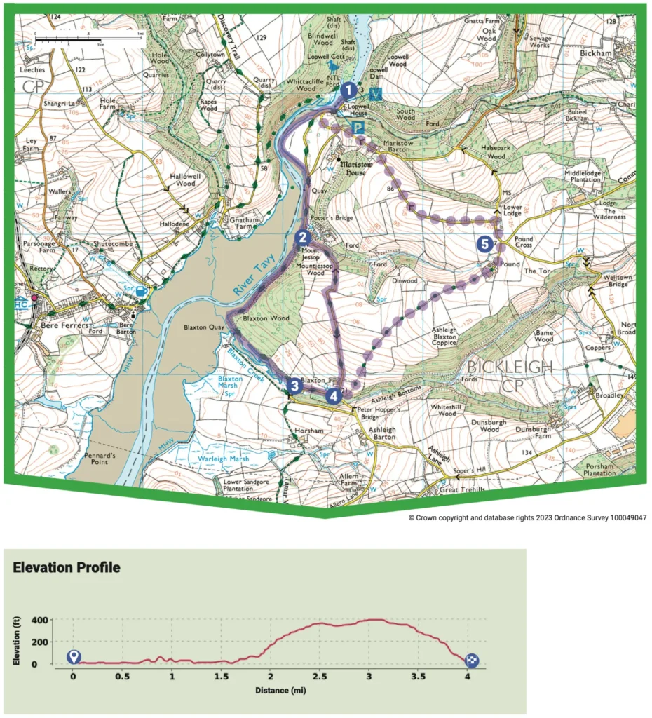
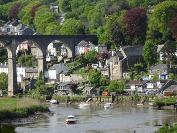
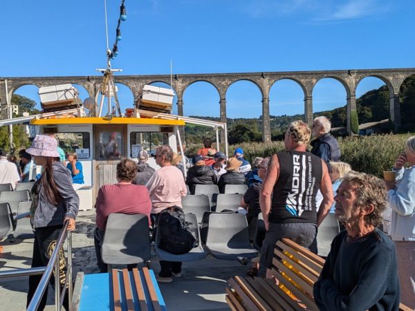
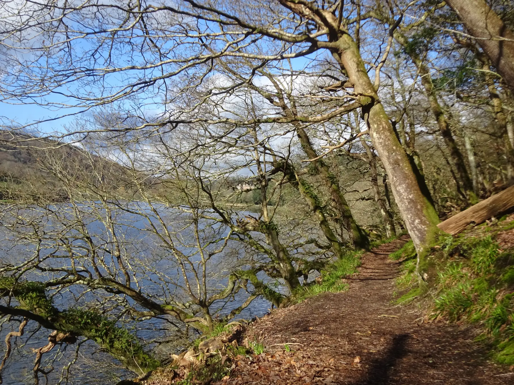
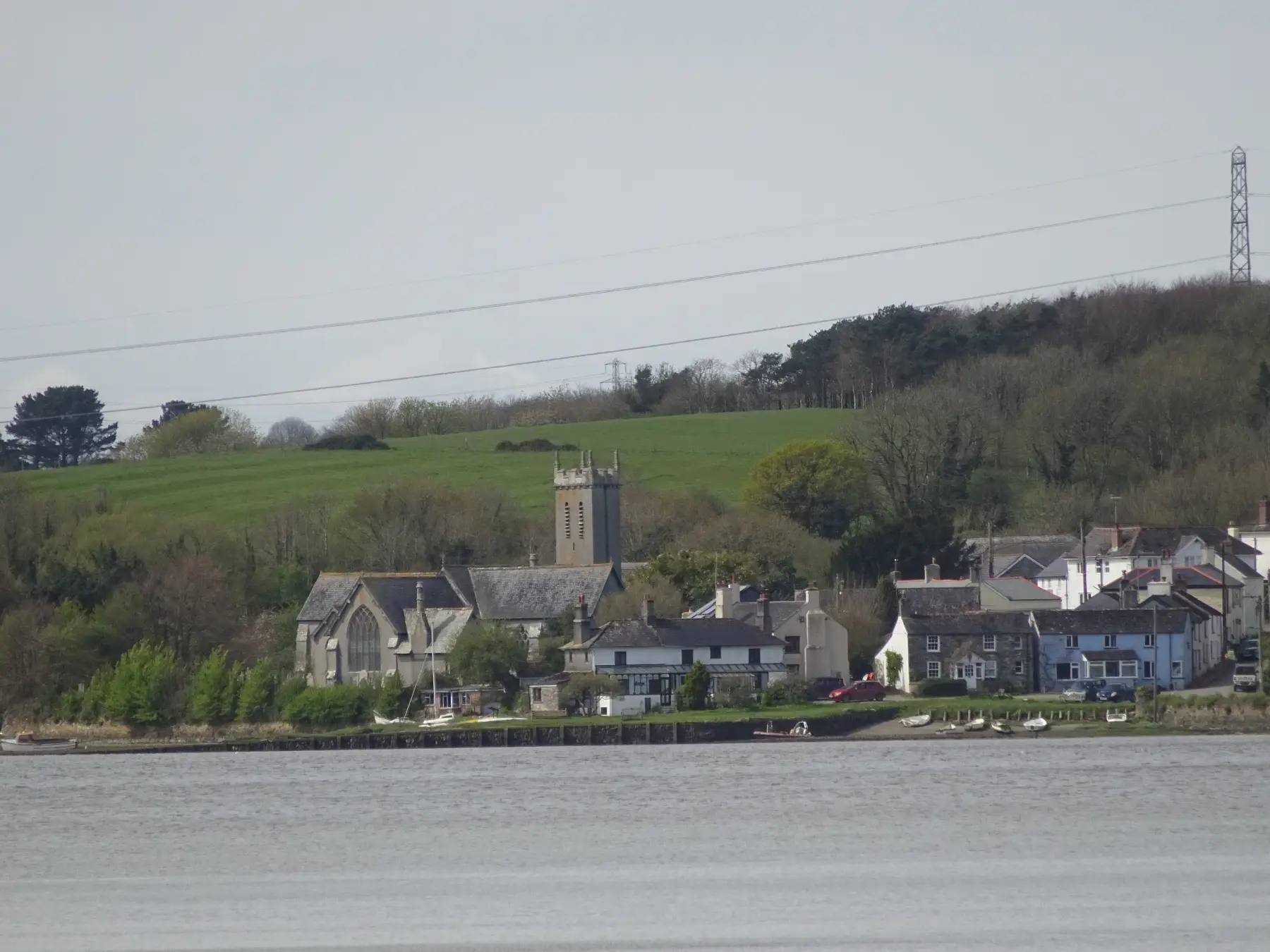
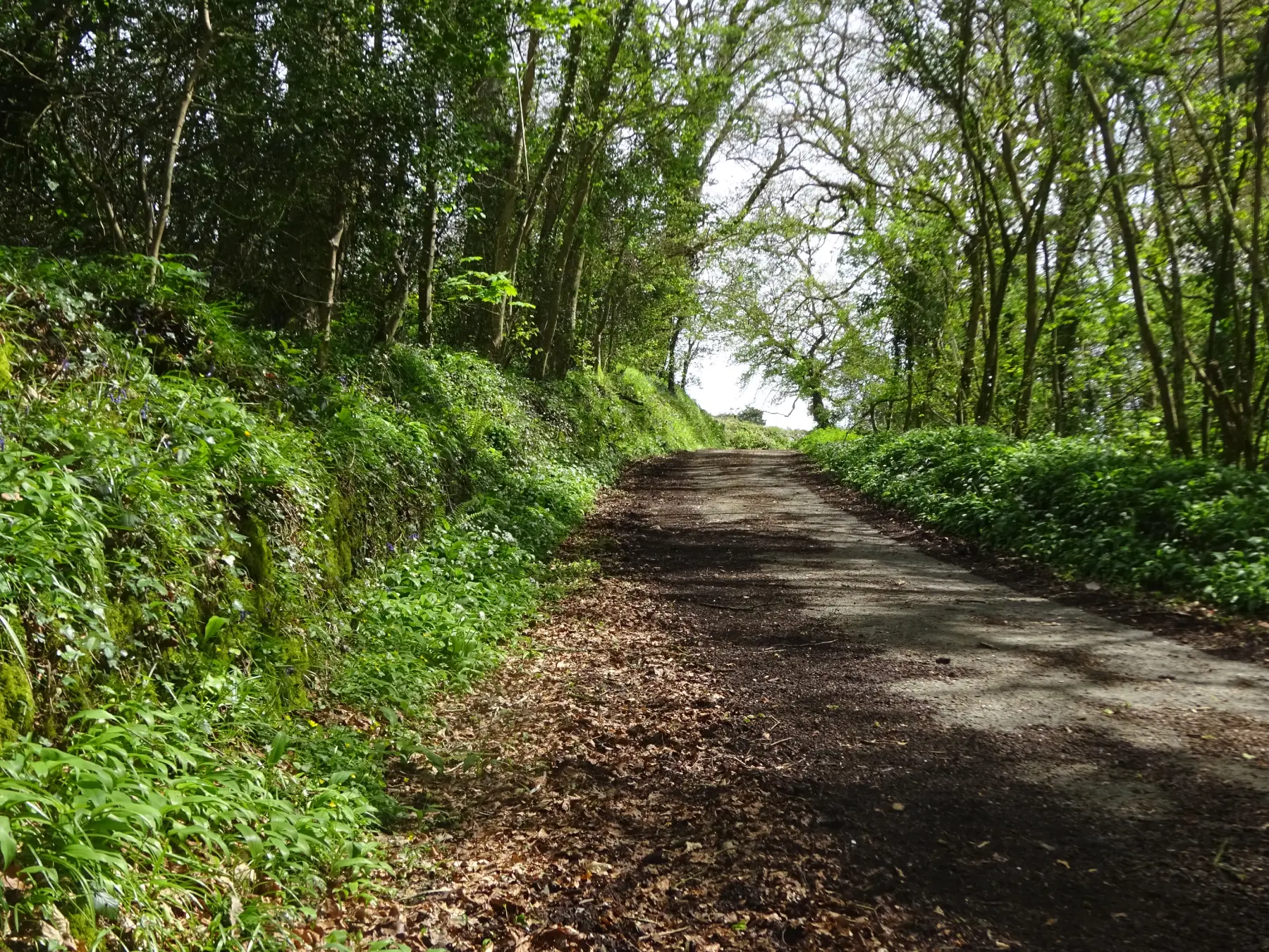
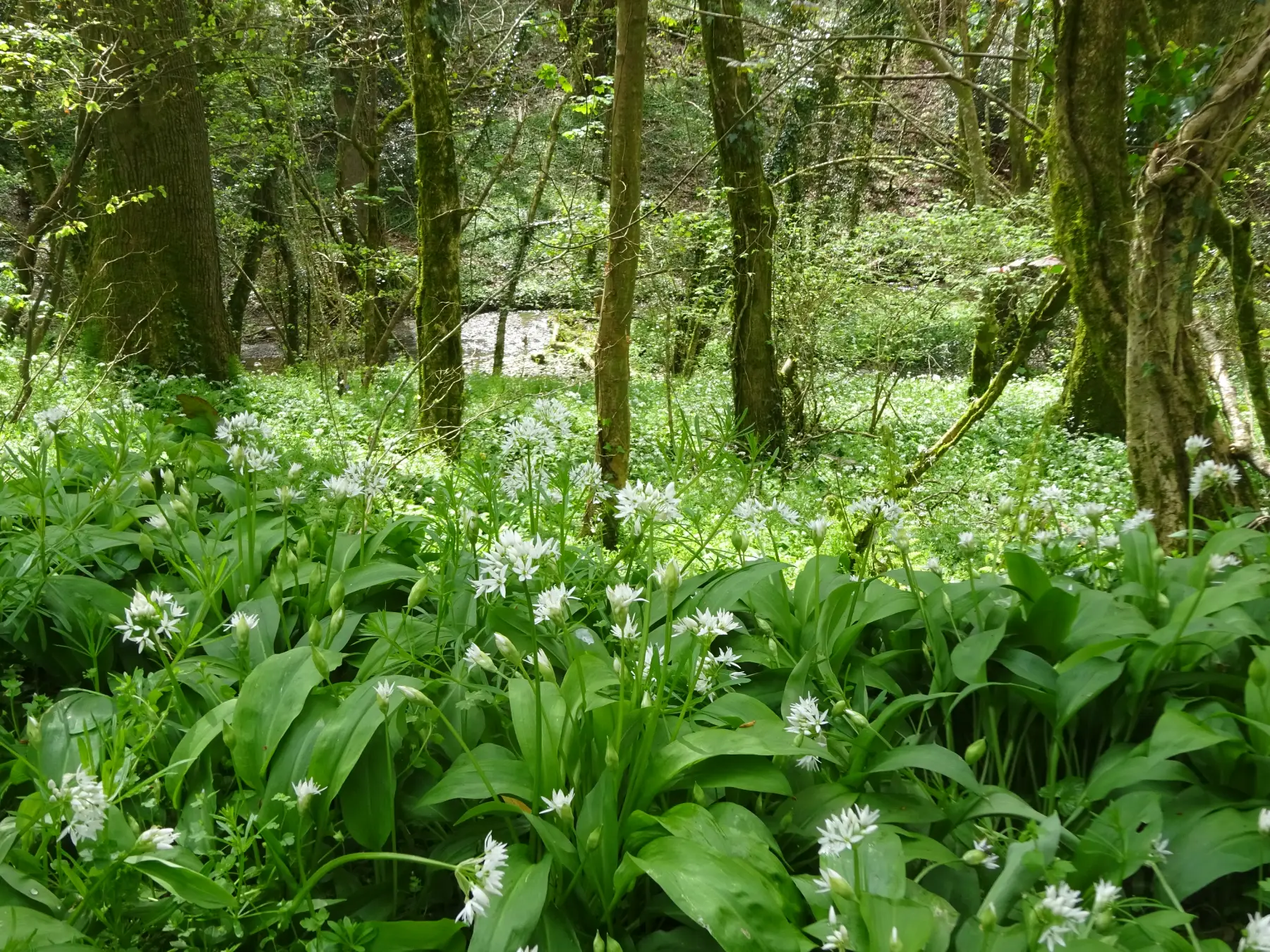
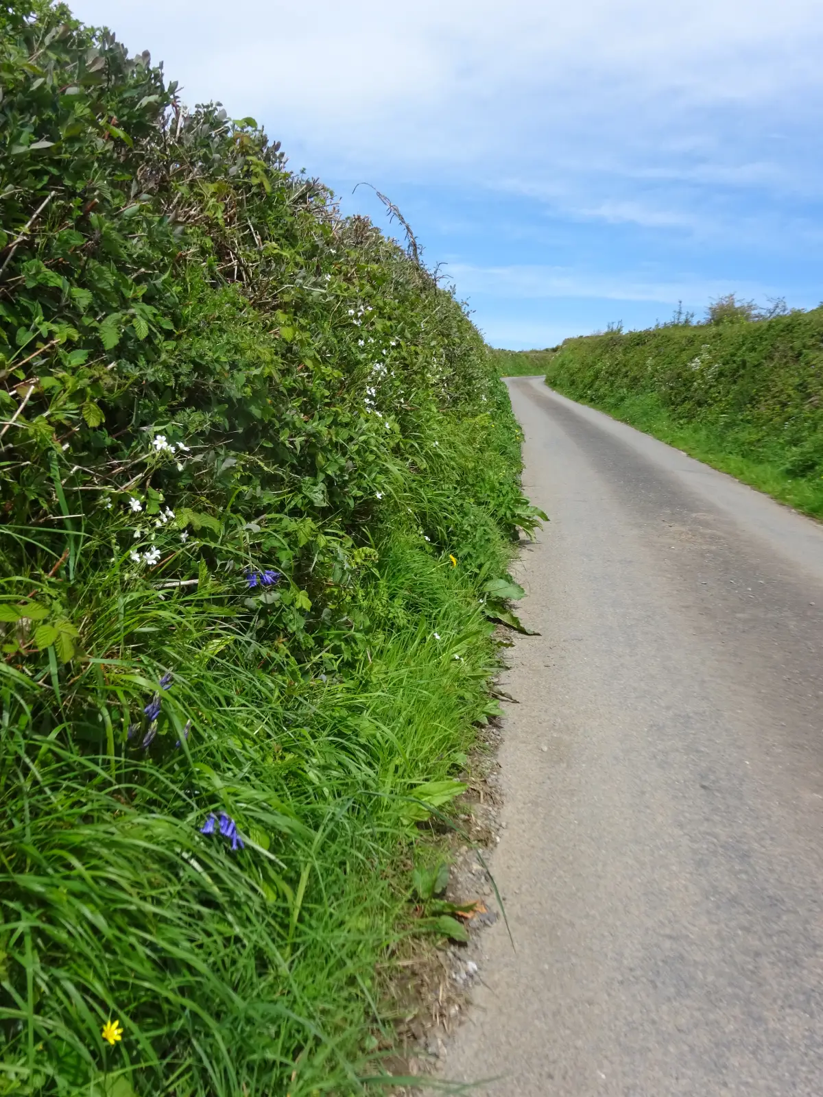
SHORT WALK OPTION: Make a left turn and steadily ascend uphill, relishing the magnificent downriver views towards the Tavy Bridge. This historic bridge, constructed in 1899, once carried the main line of the London and South Western Railway between Plymouth and London Waterloo and currently serves as the Tamar Valley branch line. Along this delightful lane, you’ll be greeted by a vibrant display of springtime flowers, including primroses, red campions, greater stitchworts, crabapples, dandelions, hedge mustards, herb roberts, bluebells, hedge bedstraws, navelworts, dog violets, honeysuckles, and dogroses. Continue your journey downhill, passing a group of majestic Scots pines, until you reach the entrance to Blaxton Wood (Point 2), where you will rejoin the initial route. FOR THE LONGER WALK: cross the lane and proceed along a rough ascending byway track, passing through an old iron gate and another gate shortly after. Follow the left hedge, ascending steeply, and admire the splendid oak trees along the way. Pass through yet another gate as you continue uphill, initially surrounded by gorse and blackthorn banks. To your right, enjoy the increasingly picturesque views across rolling pastures towards buildings on Plymouth’s northern edge. As you reach the shoulder of the hill, the track levels slightly and passes through a gate before ascending again, but with a gentler incline, between hedgebanks. Finally, the track starts to descend, leading you towards the buildings at Pound in a pleasant stretch. Traverse between the farmhouse and farm buildings, and then proceed up the drive to meet a lane on a bend near Pound Cross. Cast your gaze to the left, and you may catch sight of Caradon Hill on Bodmin Moor, easily recognizable by the transmitter mast on its summit.

5 SX 485639

Take a left turn, passing charming cottages and a majestic row of oak trees. As you reach the next lane junction, keep left (Milton Combe is to the right). Follow this quiet lane, where the vistas ahead unfold in all their glory, stretching as far as Cornwall. Descend into the scenic Tavy valley, passing by Maristow Barton and another lane leading to Milton Combe. Carry on downhill until you bear right, eventually arriving at Lopwell Dam.

Map

All Short Walks

Filter by Difficulty

Filter by Town

NEar by