From Gunnislake Station Tamar Valley & Hingston Down Circular Walk

Strenuous

7¼ miles (11.7km)

3¾ hours

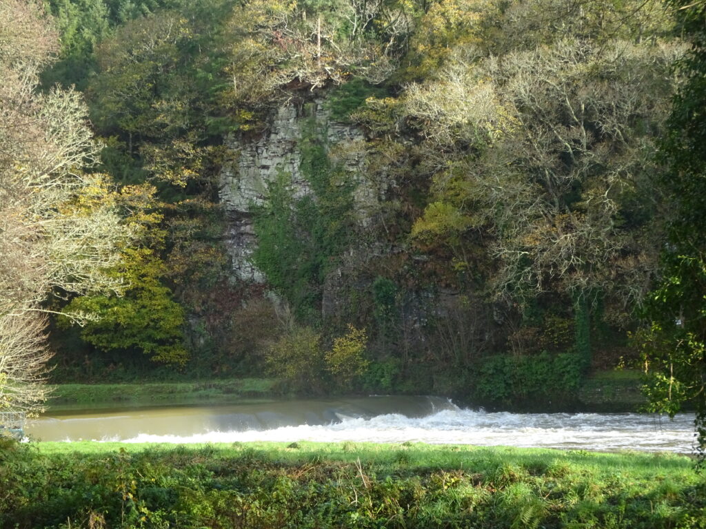
Weir on the River Tamar at Gunnislake: the tidal limit of the river
A lengthy and enjoyable exploration of the Tamar Valley around Gunnislake, following the Tamara Coast to Coast Way and visiting Gunnislake Clitters Mine, with a high-level return via Hingston Down and mine.
SUMMARY

Don’t expect to hurry this one! Not only is it lengthy in terms of mileage, it’s also packed with both landscape and industrial history interest. A steep descent into the beautiful Tamar Valley picks up the Tamara Coast to Coast Way, here joining with the Tamar Valley Discovery Trail as it heads upstream to Gunnislake’s New Bridge, then ascending – via Gunnislake Clitters Mine – to Chilsworthy. Our route heads on to Coxpark, followed by a long ascent – with wonderful views west to Kit Hill and Bodmin Moor, and east to Dartmoor – and a return via Hingston Down and Drakewall mines.

KEY FACTS

Start/Finish

Gunnislake Station SX 427709, PL18 9DT

Distance

7¼ miles (11.7km)

Time

3¾ hours

Terrain

Steep descents into/long, steep climbs out of Tamar Valley (755ft/230m climb); woodland tracks and some rough paths; There’s also a ¾-mile road section from Coxpark to Hingston Down

Difficulty Rating

Strenuous

Toilets

None on route

Parking

Laneside in Well Park Road

Public Transport

Rail services Tamar Valley Line to/from Plymouth; bus services to/from Callington and Tavistock

Dogs

Under control at all times

Directions

1 SX 427709

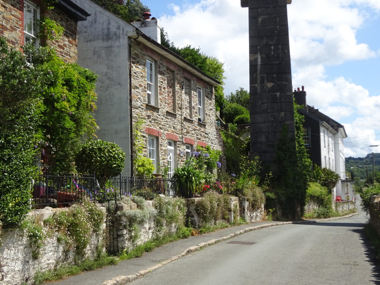
From the station entrance turn right, then right again along Well Park Road. After 50 yards turn left down pretty Stony Lane, which descends steeply. Look out for Chimney Rock popping out of the trees on the other side of the valley (originally known as Sharp Tor, but renamed in the 19th century – with a little bit of imagination it does resemble a mine chimney!). The lane reaches a T-junction in Hatches Green; turn right.

2 SX 433798

After 250 yards, by the national speed limit sign, bear left on a public footpath (track) that drops down to the river. At the bottom you’ll pass a house – note the limekiln on the right – to reach the river. This was the site of Netstakes Quay in the mid-19th century; limestone, sea sand (fertiliser), manure and coal were transported up the Tamar in barges. A widening of the river nearby enabled Victorian and Edwardian paddle steamers to turn at the limit of navigation.

3 SX 434706

Turn left along the wooded riverbank. The path passes a substantial lock and basin, part of an ambitious late-18th-century scheme to make the Tamar navigable as far as Launceston. Then, another canal would link Launceston with the north coast at Bude. The Bude Canal was achieved, but further south only this 3-mile (4.8km) stretch from Weir Head at Gunnislake, to Morwellham, was completed in 1801. The canal, which became known as the Tamar Manure Canal, although it also transported coal, sand, bricks, lime and granite – ceased operation in the 1920s. The path passes canal workers’ cottages; immediately before a pair of cottages on the right, bear right on a narrow path. Continue upstream, passing the site of Bealswood Brickworks, opened in 1850 and the largest in Cornwall until closure in 1914. Pass the weir – a fish weir built by the monks of Tavistock Abbey, and rebuilt c. 1800 – at the tidal limit of the river. The riverbank here is private – it’s a beautiful spot. Follow the path on, close to the water again, passing beneath Chimney Rock and magnificent tree-covered river cliffs. Look out for glimpses of six-arched New Bridge – which dates from the early 16th century, was the site of a Civil War battle in 1644, and was painted by J.M.W. Turner in 1814. The path gains the road at the west end.

4 SX 433722

Cross over, to find a track ahead; nearby once stood the ‘Caledonian’, a notorious five-storey miners’ hostel and alehouse. Head gently uphill, soon levelling off. Pass two footpaths (to Lower and North Dimson). On reaching a junction (the tracks ahead left and right are private) follow the middle path (blue arrows), passing a wooden building. The narrow path descends gently and broadens, soon entering Clitters Wood (private); below the path are the embanked walls of a tramway along which horse-drawn wagons transported ore to the quays below New Bridge, at one time the highest navigable point on the river. Continue along the path, below wooded slopes studded with ruined walls, shafts, trial pits and trenches, eventually running close to the river.

5 SX 422723

The river rounds a slight right-hand bend; the path starts to ascend a little. Look out for some rough wooden steps, and turn right towards the river. Follow the narrow path to reach a flight of steps (left) at the bottom of Gunnislake Clitters Mine, which produced tin and copper from the 1820s for about 100 years. Walk on a few paces to see the towering remains of the waterwheel pit and Riverside engine house: a discoloured stream trickles into the river. Head up the steps by the retaining wall and make your way up through the mine site, to reach the track at the top. It’s hard to imagine that the mine was once linked to the East Cornwall Mineral Railway by a tramway, and that these wooded slopes were once treeless, home to sheds, settling ponds, arsenic labyrinths and all manner of industrial structures. Turn right, uphill, under soaring beech trees, to reach a lane.

6 SX 418723

Turn right, downhill – a bit of a breather! – past the site of 19th-century South Devon Mine (Wheal Bramble, private). The road bears sharp left and heads uphill, ending at the gates to two houses. Take the rocky track ahead – probably a medieval holloway – and ascend very steeply to reach the road in the scattered village of Chilsworthy. Turn right (the White Hart Inn– first mentioned in 1841 – is 100 yards left).

7 SX 413722

Take the first lane left, by the Old Post Office, and ascend steeply. Eventually the lane levels and passes Hingston House, then a lane coming in from the right.

8 SX 4074722

A few steps later turn right on a narrow footpath that descends into a small combe. On reaching a garden fence, follow the path left, to cross a footbridge. Ascend through woodland, go through a gate and reach a lane end. Turn left, passing houses, to reach a T-junction in Coxpark.

9 SX 401724

Turn left and start a long, steady ascent (cars tend to move quite fast along the road, so stick to the verge where possible). Just before a crossroads note the site of Latchley Halt (old station house and platform, and once site of a goods depot) on the old East Cornwall Mineral Railway, opened in 1872 to link Callington with Calstock on the Tamar. Cross the Callington–Gunnislake road and continue uphill.

10 SX 407713

Crest the brow; just past a telecommunications mast turn left through a parking area, then round a gate onto Hingston Down (site of a battle between the Cornish and tSaxons in AD838). Take the first narrow path left to pass the fenced-off spoil heaps and the engine house of Hingston Down Mine. The mine was worked from at least the 17th century; by 1882 more than 64,000 tons of copper ore had been transported to Calstock Quay for onward shipment to South Wales for smelting. Fork right along a narrow path to reach a broad open area, with views ahead towards the Tamar estuary. Turn left to pass a big boulder and follow a narrow path, passing another boulder at its end. Keep ahead and take the second of two paths, to reach a broad grassy area, then turn left on a narrow path. Keep right at a fork to descend a short flight of steps; eventually the path broadens into a hedged track between fields. Follow the track 90 degrees right at the entrance to Roundabarrow Farm, then zigzag down to meet the A390 in St Ann’s Chapel opposite Delaware Primary Academy.

11 SX 422707

Cross the road with care, and turn left. Take the first lane right; pass the school car park, then turn left down a private road to find a footpath into Drakewalls Mine, once the richest tin mine in Cornwall; by the early 19th century it was producing so much tin that it had its own smelter. Head down through the site; the left-most path passes two chimneys and emerges by the ruined pumping engine house near the Tamar Valley Centre. Pass through a gate onto Cemetery Road. Turn left; at the Coop turn right down Glendorgal Park to find a narrow tarmac footpath on the right that follows garden fences to meet a track. Bear left to pass under the railway and meet Well Park Road. Turn left, and left again for the station.

Map

All Short Walks

Filter by Difficulty

Filter by Town

NEar by