Milton Combe & Buckland Abbey Circular Walk

Moderate

6 miles (9.6km)

3 hours

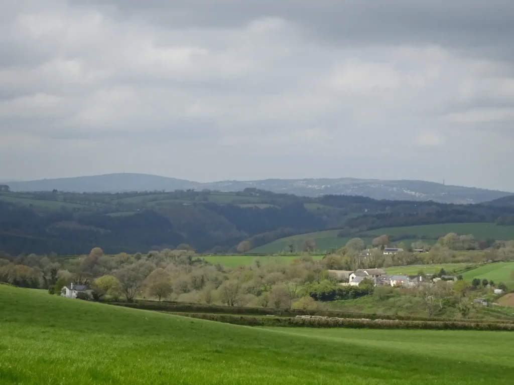
Beautiful views on Point 2: Kit Hill can be seen on the horizon
A beautiful undulating walk through fields and along quiet lanes on the Devon side of the Tavy Valley, best undertaken in springtime when the hedgebanks are awash with wild flowers – and with a traditional country inn around the halfway mark.
SUMMARY

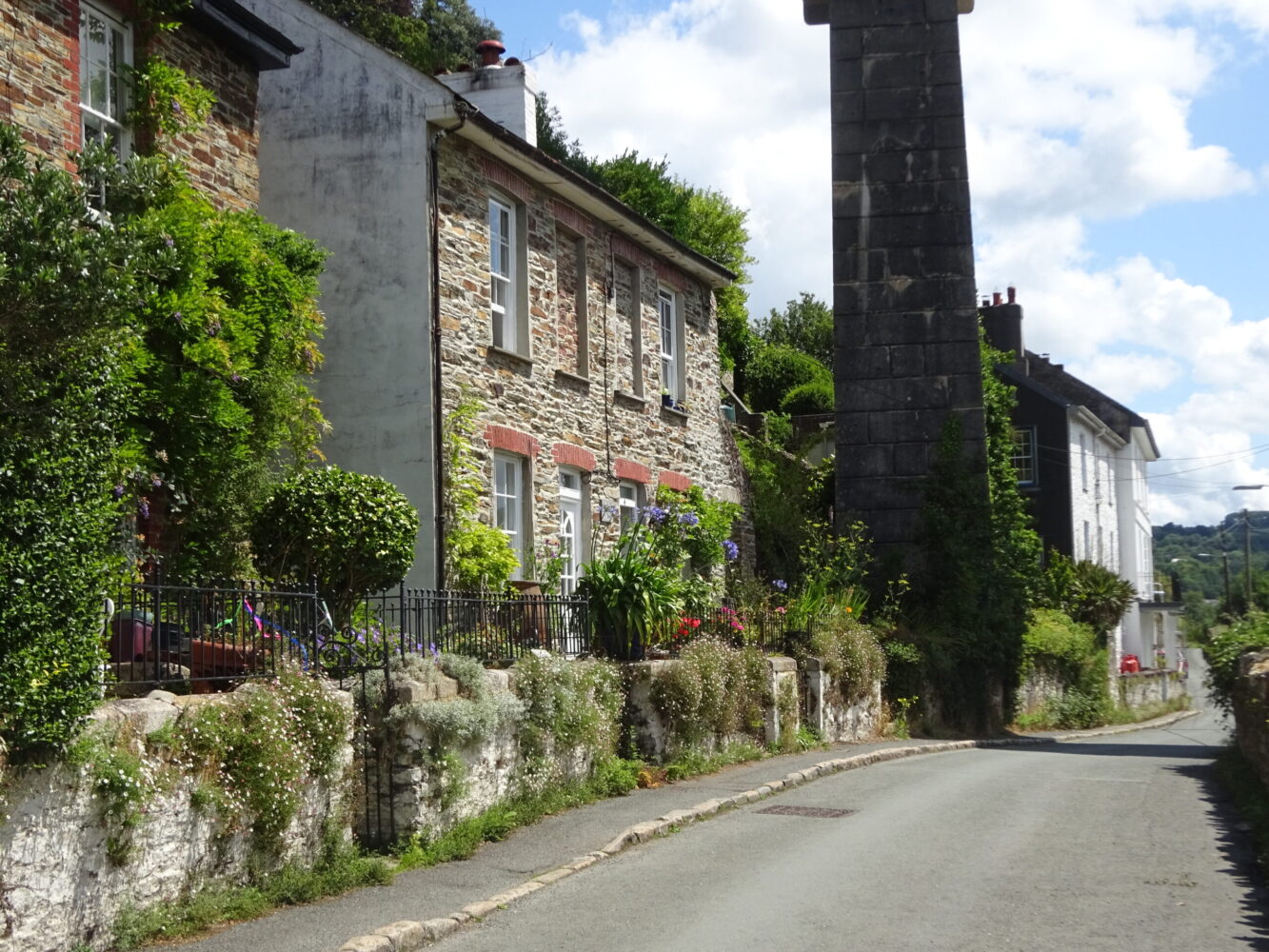
This lovely up-and-down walk explores the fields and lanes on the eastern fringe of the Tamar Valley AONB, with far-reaching views over the wooded Tavy valley. The route starts across Roborough Down – look out for ponies – then runs through rolling pastures to the secluded village of Milton Combe, before clipping the edge of the National Trust’s Buckland Abbey estate. The hedgebanks are stunning in springtime: enjoy swathes of lady’s smock, bluebells, violets, greater stitchwort, herb robert, buttercups, red campion and dandelions.

KEY FACTS

Start/Finish

Parking area, Common Lane (100 yards west of A386) SX 508647, PL7 7BH

Distance

6 miles (9.6km)

Time

3 hours

Terrain

Undulating fields paths and tracks, quiet lanes

Difficulty Rating

Moderate

Toilets

None on route

Parking

As above

Public Transport

Bus services to/from Postbridge, Princetown, Tavistock, Yelverton (to Milton Combe)

Dogs

Under control at all times; on leads on moor and farmland 1 March–31 July (livestock and ground-nesting birds) and in Buckland Abbey estate

Directions

1 SX 508647

Facing away from the road, take a left turn through a stone-faced opening in the low enclosure bank. Cross the rough terrain until you come across two breeze-block water troughs. Navigate to the left of these troughs and maintain your course. As you near the lane on the other side of the common, veer right onto a path. Pass by a parking area and eventually, make a left turn to reach the lane that sits opposite the entrance to Bickham’s drive, marked by a grey house. Now, turn right and continue your journey, passing a junction. The lane gradually descends, setting the stage for the next phase of your adventure.

2 SX 501654

Upon reaching a cattle grid sign, bear left on a footpath accessible through a kissing gate. Take a moment to appreciate the magnificent views towards Gunnislake and Kit Hill on the Cornish side of the picturesque Tamar Valley. Proceed along the left edge of four fields, occasionally passing between banks of blackthorn and hawthorn, and navigate through several gates along the way. As you reach the end of the final field, a small gate opens onto a beautiful green lane. Make a right turn through another gate, gently descending alongside a line of beech trees. Eventually, you’ll come across a junction with a track. Continue downhill until you reach a U-bend on a tarmac lane, where you’ll take the left track. Follow the narrow footpath ahead when the lane bends to the left. Be cautious as the descent becomes steep and rocky. Descend past a charming cottage, and just in front of it, make a right turn to meet a lane near the Church of the Holy Spirit. Cross the Milton Brook by turning left. Head through the village, turning right to reach the Who’d Have Thought It Inn. This establishment has been recorded as a pub since at least the 1806 census, previously known as the Welcome Inn. Unwind and relish the atmosphere of this historic location as you conclude your journey.

3 SX 488661

Pass to the left of the pub and immediately turn left up a narrow footpath between April and Cuckoo Cottages. Ascend rapidly between high banks, with lovely views over the village. Climb steadily to meet a lane, then turn right.

4 SX 488663

As you face the turning to Milton Combe, take a left turn over a Cornish stile. Proceed past the bus turning area and continue through a kissing gate, entering a field. Ahead, you’ll catch a glimpse of Buckland Abbey car park. Originally a Cistercian monastery established in the late 13th century, the abbey faced the consequences of Henry VIII’s Reformation. Transforming into an impressive mansion in the 16th century, it became the residence of notable figures like Sir Richard Grenville and later Sir Francis Drake, the first Englishman to circumnavigate the globe between 1577 and 1580. Stay alongside the left fence and pass through a gate. Traverse the next field, pass through another gate, and cross two tarmac paths until you discover a kissing gate that leads to a meadow. Descend to another gate and make your way across a strip of woodland, followed by a tarmac path. Ascend through the woodland until you reach a lane, accessed via yet another kissing gate. Now, make a right turn and follow the lane as it descends, then ascends, leading you to a staggered crossroads near South Lodge, known as Abbey Cross.

5 SX 490666

Turn left, signed to Crapstone.

6 SX 496673

Take a right turn onto a quiet lane known as Venton/Stokehill. Pass by Venton Farm along the way. After approximately half a mile, where the lane veers left, instead, go right through a kissing gate marked with a footpath sign. Traverse the field diagonally towards the right, descending gently. Upon reaching the middle, you’ll encounter a track. Make a left turn and proceed. Pass through a gate and continue following the left edge of the next field. The track will lead you through an open gateway and across a stream. Turn left, walking alongside the stream, then make a right turn at the end of the field, ascending towards a small gate located in the top corner. Head up along the left hedge of the subsequent field until you reach a lane via a kissing gate. Cross the lane, pass through another gate, and continue across the field (be mindful of any horses present). Follow the left hedge as you descend, passing by a junction of footpaths. At the bottom, go through a gate, then immediately turn right through another gate, proceeding down the next field. Cross a brook using a footbridge, and a few steps beyond, access the lane through a kissing gate.

7 SX 500661

Turn left between tree-covered banks to pass Coombe Farm, and reach a junction. Turn left, downhill, then ascend gently past Uphill Farm – look out for the restored barn, dating from 1702 – to reach the common. Pass the entrance to former Moorland Garden Hotel, and then the back drive.

8 SX 509654

Look out for three boulders on the right, and turn right on a broad grassy way that roughly parallels the A386. When the parking area comes into view – at a path fork – keep left and pick your way back to the start point.

Map

All Short Walks

Filter by Difficulty

Filter by Town

NEar by