From Gunnislake Station Hingston Down & Albaston Circular Walk

Easy

4½ miles (7.2km)

2 hours

Enjoy a gentle amble along tracks and paths to Hingston Down, with glorious views south to Plymouth Sound. Explore the remnants of Hingston Down Mine then return via quiet lanes.


SUMMARY

Hingston Down is the site of a battle between the Cornish and Saxons in AD838 and is a ‘boss’ on the granite batholith that underlies much of Devon and Cornwall. Hingston Down Mine was worked from at least the 17th century and by 1882 more than 64,000 tons of copper ore had been transported to Calstock Quay for onward shipment to South Wales for smelting. The map by the engine house gives lots of information about the extent of the original site, now largely concealed by scrubby vegetation. Hingston Down was also home to the Phoenix Brickworks, employing 400 men in the 1870s, and which provided the bricks for St Petersburg dockyard in Russia. The buildings were demolished in 1968

KEY FACTS

Start/Finish

Gunnislake Station SX 427709, PL18 9DT

Distance

4½ miles (7.2km)

Time

2 hours

Terrain

Hedged tracks and paths, heathland, quiet undulating lanes

Difficulty Rating

Easy

Toilets

None on route

Parking

Laneside in Well Park Road

Public Transport

Rail services Tamar Valley Line to/from Plymouth; bus services to/from Callington and Tavistock

Dogs

Under control at all times

Directions

1 SX 427709

From the station entrance turn right, then right again onto Well Park Road. After 200 yards turn right under the railway bridge. Where the track bears left, bear right on narrow tarmac path that winds uphill to meet Cemetery Road. Turn left to reach the remnants of Drakewalls Mine, once the richest tin mine in Cornwall; by the early 19th century it was producing so much tin that it had its own smelter. The first recorded mention of the settlement of Drakewalls – named after the mine – dates from 1815. The Tamar Valley Centre, home to the Tamar Valley AONB offices and a zero-carbon building which generates its own electricity, can be seen ahead.

2 SX 425707

Just before reaching the gate giving access to the mine site, turn right up a narrow lane that climbs to the A390. Cross with care; turn left along the pavement, soon crossing Delaware Road.

3 SX 422707

Immediately past ‘River View’ the St Ann’s Chapel village sign is about 100 yards ahead, and there’s a blue seat on the other side of the A390. Turn right up an unsigned track that climbs giving increasingly good views towards Dartmoor over field gates on the right. The track levels and turns 90 degrees left, then 90 degrees right. Drop gently past Roundbarrow Cottage; the track levels again on the edge of Gray’s Plantation. At the entrance to Roundabarrow Farm (cottage and farm names here reflect the presence of a nearby burial mound) follow the track sharp left. Where the track heads into a field follow the narrow hedgebanked path ahead. Ignore a small path right and soon climb a short flight of steps into a tangle of gorse and brambles, willow and birch (crossing a filled-in quarry). The landscape opens up as a T-junction of grassy paths is met.

4 SX 411713

Turn right, uphill, to reach the edge of Hingston Down Quarries. Pass a large boulder and continue along a narrow path. Hitchen’s Shaft (out of sight) is over to the right, and there are lovely views south towards Plymouth Sound. Pass another boulder to emerge into a broad, open area, flanked by the heather-covered spoil heaps of Hingston Down Mine; Bailey’s Shaft engine house can be seen to the right. A few paces later, turn right on a narrow path; at the next fork bear right to reach the engine house and an excellent information board. In more recent times the mine hit the headlines for the first noted world occurrence of Arthurite, a rare apple-green-coloured copper mineral, recorded here in 1964. Turn around; follow the narrow path that bears right, passing between the engine house, boiler house and Bailey’s Shaft (out of sight), to meet a track (there’s a metal gate away to the right). Turn left to reach the edge of the open area.

5 SX 408713

Bear right on a broad downhill track across the gorse-and-heather-covered slopes of the down, ignoring a path left. At the bottom of the heathland pass around a gate and continue downhill to reach the A390 in St Ann’s Chapel. Cross with care and turn left along the pavement.

6 SX 412709

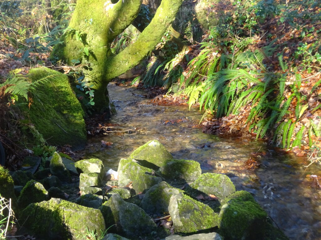
Immediately before reaching The Rifle Volunteer Public House (thought to have been a mine captain’s house, converted to a coaching inn during the 19th century) turn right on a deeply banked footpath signed to Honicombe. After descending steps keep straight on between old walls, passing through fields and beneath lovely beech trees, and alongside a stream at the bottom. On reaching the road cross over and turn left (no pavement after the first few steps), soon passing the playground and later the drive to Higher Todsworthy Farm (right). The road narrows; cross over to pick up a dedicated pedestrian path.

7 SX 418707

Turn right down a narrow lane. Descend past impressive stone walls and though the tucked-away little hamlet of Todsworthy to meet a T-junction (opposite a footpath to Danescombe). Turn left; follow the lane downhill, then climb between high stone walls and on into Albaston. Bear left at a junction (no entry lane ahead), following signs to Gunnislake. At the next road cross over and turn left.

8 SX 423703

Turn first right by the Queen’s Head, eventually passing Albaston Cemetery (home to Calstock Parish Archive): there are places to sit, interesting memorials and wonderful views over the Tamar Valley. Pass the Tamar Valley Centre and Drakewalls Mine. Turn right down Glendorgal Park to pick up the footpath to Well Park Road; turn left, then left again for the station.

Map

All Short Walks

Filter by Difficulty

Filter by Town

NEar by