Prince of Wales Mine & Wheal Brothers Circular Walk

Moderate

5 miles (8km)

2½ hours

The creation of this walking route has been led by the Tamara Landscape Partnership Scheme, a project run by the Tamar Valley National Landscape and funded by the National Lottery Heritage Fund.

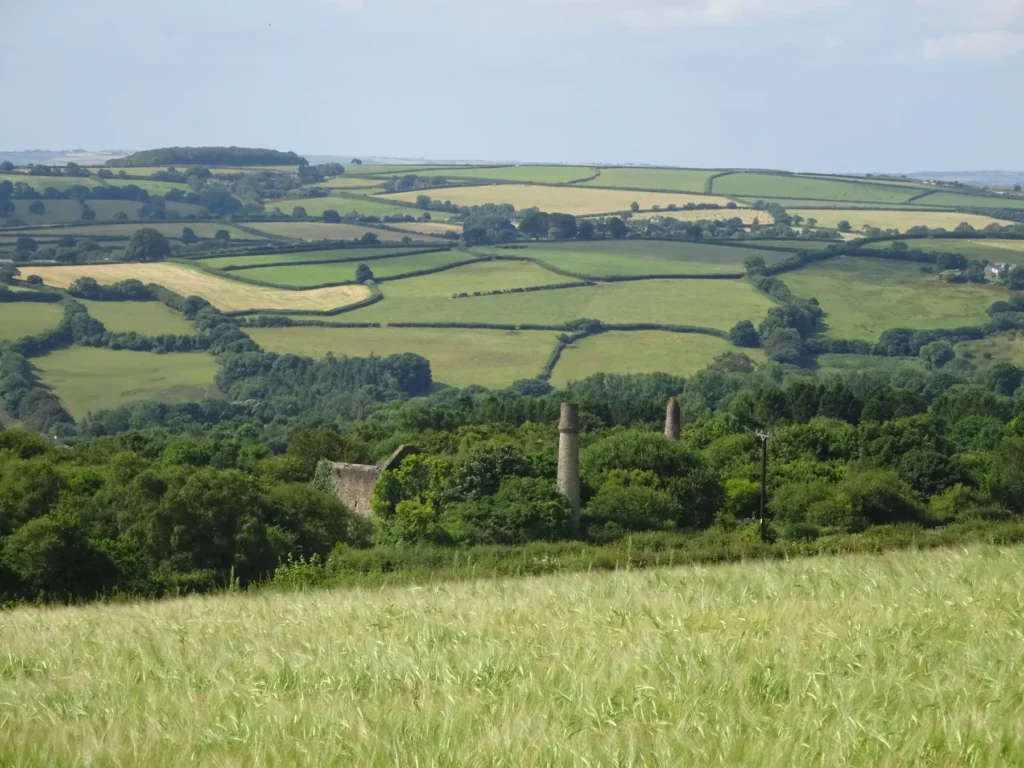
A gentle exploration of two mining sites, utilising old tracks and field paths. Many of the structures are now overwhelmed by a dense covering of ivy, or hidden behind trees: forlorn yet fascinating reminders of a once-busy industrial landscape.
SUMMARY

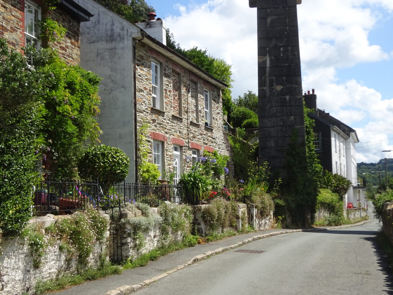
Build in some extra time on this pleasant circular route to explore the Prince of Wales Mine, the only site in East Cornwall with the remains of the three types of engine house: for pumping, winding and stamping (crushing the ore). Two route options through the mine site are given – a permissive path and the official right of way – both are worth following. From there the walk utilises old paths and then quiet lanes through the attractive village of Harrowbarrow. The walled-off shafts of Wheal Brothers, now largely concealed by trees, are passed, then a run of pasture fields encountered towards the end of the walk.

KEY FACTS

Start/Finish

A390 parking area SSE of Kit Hill SX 380705, PL17 8AY

Distance

5 miles (8km)

Time

2½ hours

Terrain

Cycle path, field paths and tracks, quiet lanes, gentle ascents and descents

Difficulty Rating

Moderate

Toilets

None on route

Parking

Parking area at junction of Kit Hill road and A390

Public Transport

Bus services (to St Ann’s Chapel and Harrowbarrow) to/from Callington and Tavistock

Dogs

Under control at all times; on leads at West Harrowbarrow

Directions

1 SX 380705

Cross the minor road at the entrance to the parking area; note the unusual triangular direction stone, marked ‘Horse Bridge’ and ‘Tavistock’. Follow the surfaced cycle path alongside the A390, initially screened by vegetation. Mark your progress by noting two milestones – C 2 T 7½ (distances in miles to Callington and Tavistock), and later C 3 T 6½ – en route passing the site of East Kit Hill Mine (left), which operated for a short time in the mid-19th century, and crossing the B3257 (to Kelly Bray). Look out too for the ‘Pleasure Piece’ on the left, one of the last remnants of Hingston Down’s open heathland, popular since Victorian times for picnics and outings.

2 SX 402709

Just after the second milestone, the cycle track switches to the south side of the A390. Cross with care, then head down a track towards Lower Mount Pleasant Farm, passing the Tamar View Holiday Park. The first field gate right gives a view across the fields towards the Prince of Wales Mine. The track ends at gates to houses; here turn right over a stile into a field (the right of way on the OS map takes a different line from that signed on the ground). Bear half-left across the field towards the substantial ruins of the Prince of Wales Mine (named after the eldest son of Queen Victoria and Prince Albert). Cross a stile next to a gate. A few steps on you have a choice of route. OPTION 1 Turn left through a kissing gate and follow a waymarked permissive path, keeping left at an early junction. The path bears right around the site, passing remnants of mine structures (including Watson’s Shaft winding whim engine house and boiler house) and mounds and pits shrouded with vegetation, to reach a lane via a kissing gate – a useful information board nearby explains what you’ve been looking at! Copper was mined here until the late 1870s when tin, found at greater depths, became more important. OPTION 2 Follow the public footpath ahead along a track, passing a chimney and a ruined engine house (Watson’s Shaft pumping engine house and boiler house), and later more ruins (Stamps engine house and chimney), to reach the lane. Turn left, downhill, to reach the kissing gate at Point 3 and keep straight on, re-joining the route.

3 SX 401705

Turn left down the lane to reach houses in Mount Pleasant. At a T-junction turn right for about 200 yards; the lane bears slightly left.

4 SX 401032

As the lane starts to bear right, turn left to find a footpath immediately right of a descending embanked track. The attractive enclosed path descends into the valley, between banks of laurel. Meet a track and keep straight on, through a landscape peppered with mounds and shafts and chimneys. Meet School Road in Harrowbarrow and turn right to reach a T-junction in the village centre. Turn right (towards St Ann’s Chapel) and ascend gently, passing the village shop.

5 SX 397700

As the lane starts to bear away right look out for a public footpath sign, and turn left on a track (signed to Meadowside). The hedged track – very wet after heavy rainfall – narrows slightly just past three field gates. Where the track bears left into a field keep straight on, now on a descending path between high banks. At the bottom cross a stile to enter woodland: the site of Wheal Brothers, first opened (under the name Wheal Duchy) in about 1810, when a silver ore lode was detected while prospecting for tin. The extent of the lode wasn’t realised, and the mine closed in 1816. It reopened in 1833 under the current name, and within three months nearly £6000 worth of silver ore had been produced! The path bears left between the impressive walled-off tree-filled mine shafts, and crosses a stream. Meet a track junction (muddy in winter) and keep ahead, uphill, to find a kissing gate into a big, sweeping pasture field. Bear left across the field to the top corner, and cross a high stile. The path runs along a lovely beech hedgebank; the next stile gains a track.

6 SX 388697

Turn right, uphill, to pass houses and barn conversions at West Harrowbarrow. The footpath goes through a gate and passes in front of West Barn (dogs on leads), then through another gate at the end of the property, to enter a broad walled corridor, muddy in winter. Keep along the right edge of two fields, linked by a high stile. Cross another stile by a gate to meet a track on a bend, and follow it uphill through fields to meet the A390. Cross with care, then turn left along the cycle track to return to the start point.

Map

All Short Walks

Whether you’re an avid hiker eager for a week-long adventure tracing the Tamar River from sea to source or just looking for a short stroll to a cosy pub, there’s something for everyone. 

Find out more about our marvellous landscape by visiting the Tamar Valley National Landscape’s website. 

Filter by Difficulty

Filter by Town

NEar by